10/17 Ryan’s “Chilly & Smoky” Thursday Morning Forecast
Yesterday's dry, windy conditions fed a wildfire in Harrison County yesterday, leading to a chilly, smoky start in Gulfport this morning.
Expect a smoky start to the day in addition to it being one of the coolest mornings since early March for South Mississippi. While it wouldn’t surprise me since lows fell into the upper 30s for a few of our inland areas, our smoky air isn’t due to fireplace usage, but instead is due to lingering smoke thanks to a wildfire in North-Central Harrison County. High pressure is keeping the smoke pushed to the ground, and thankfully the wind has weakened some since yesterday. Still, expect a lingering smoky smell well into the afternoon and likely the night as well.
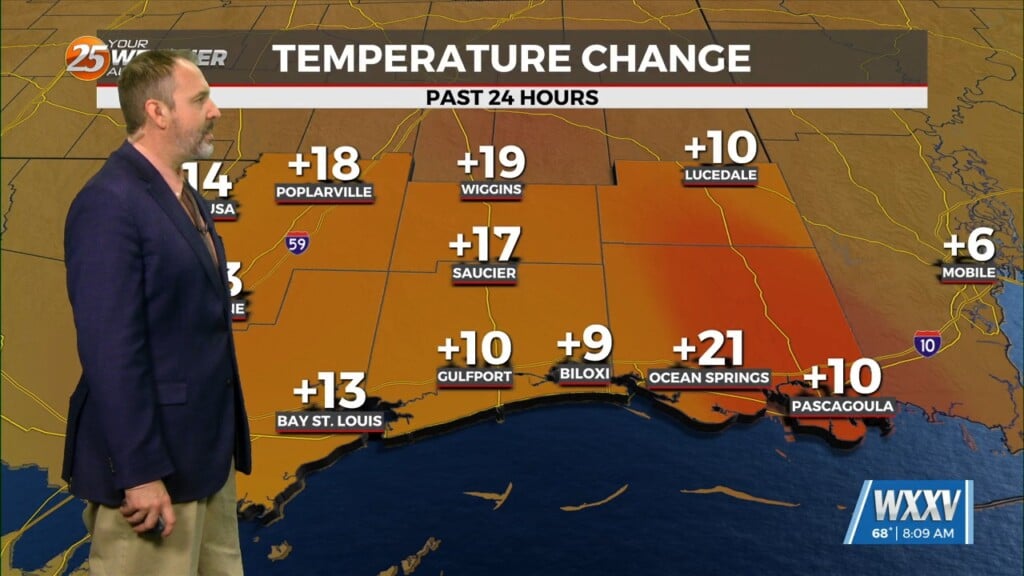
Temperature-wise, despite our chilly start today will begin a warming trend that’ll take us all the way back into “above-average” territory by next week. This morning fell to 45 degrees in the Gulfport area, with a couple of cities falling into the upper 30s…especially further inland. This afternoon will keep the sunny, cloud-free skies, leading to a touch of warming as we head into the “heat” of the afternoon with a high near 72 expected. Just because a “warming trend” is starting, don’t expect it to be “warm” for a few more days! We’re in for another chilly start in the 40s across South MS tomorrow, but each morning and afternoon will be slightly warmer than the one before it for the next full week or more…taking us back into the low 80s by next Tuesday at the latest.
Tropics: our two disturbances in the Atlantic continue to trend down in terms of potential tropical development, now down to “low” chances (below 30%) over the next 2-5 days.


