10/14 Ryan’s “Warm-Up” Monday Morning Forecast
We're in the midst of a warm-up as we begin this week, but even cooler weather than last week's moves in quickly.
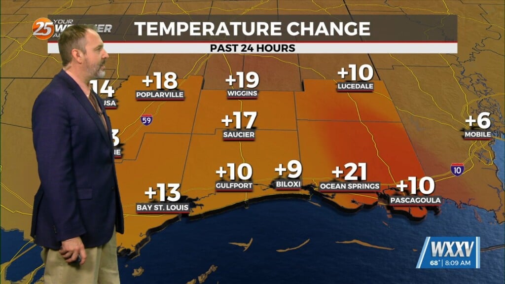
Just like last week we’re starting things off with a warm-up across South Mississippi, but another cool-down is coming, bringing the coolest weather we’ve seen since the start of the year! That certainly isn’t the case today as we’re seeing a 5-10 degree warm-up over yesterday morning, which still saw the much cooler, drier weather that moved in by the end of last week. That gives us quite a spread temperature-wise across the area, with lows in the area reporting as low as 59 degrees while Biloxi held on to a steady 71. This afternoon will warm to a much more summer-like day with a bump in humidity and highs in the upper 80s/low 90s…expecting Gulfport to top out near 88 degrees. A front will move through today though, bringing change in the days ahead.
We won’t see much cooling initially thanks to overnight cloud cover, but the afternoon will fall to a much more seasonal high near 83. Much more noticeable changes move in by the middle of the week thanks to a reinforcing cool/dry airmass, dropping highs into the low 70s for a couple days with mornings in the chilly 40s!
Tropics: only one disturbance to watch for the moment this week, with a 40% chance of developing into “Nadine” as it approaches the Caribbean.


