10/11 Ryan’s “Coolest” Friday Morning Forecast
After enjoying one of the coolest mornings since fall began, we'll head into a practically perfect afternoon.
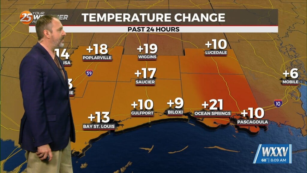
I hope you enjoyed the coolest morning of the week so far, with a few coastal lows falling into the mid 50s! Gulfport and Biloxi stayed on the warmer side of things with lows down to around 60 degrees, but even that was a couple of degrees below normal (62) for this time of year. This afternoon will also see some of the coolest, non-rainy/cloudy days we’ve seen since spring, with highs expected to drop to 83 degrees on the coastline. The highest temperatures I expect today will only climb into the mid 80s further inland without the moderating effect of the Gulf, though we’ll all see the same perfectly sunny skies. Saturday morning will be even cooler by a degree or so, but still with a perfectly “seasonal” afternoon with sunny skies, low humidity, and highs in the low 80s.
The best news is, at least for all you fans of cooler fall weather, just as we start to bounce back with highs toward 90 by the start of next week the coolest days yet move in! That’s thanks to our second dry, barely noticeable front in as many weeks…bringing only a pop of cloud cover and a northerly wind shift. This will drop highs as far as the low 70s by the middle of next week, and lows into the low 50s! That’s borderline “chilly” weather out there, and firmly below both “normals” for mid-October.
Tropics: After a busy start this week and one of the top 5 “strongest” Atlantic hurricanes with Milton, things have calmed down considerably. Tropical Storm Leslie is the last one hanging on, and it shouldn’t last much longer. There is a new disturbance with a 40% chance of development over the next week, which could eventually become “Nadine.”


