10/07 Ryan’s “Warmest” Monday Morning Forecast
Not a bad looking morning, but it'll be the warmest thanks to a front passing through later tonight.
Good morning, Gulf Coast!
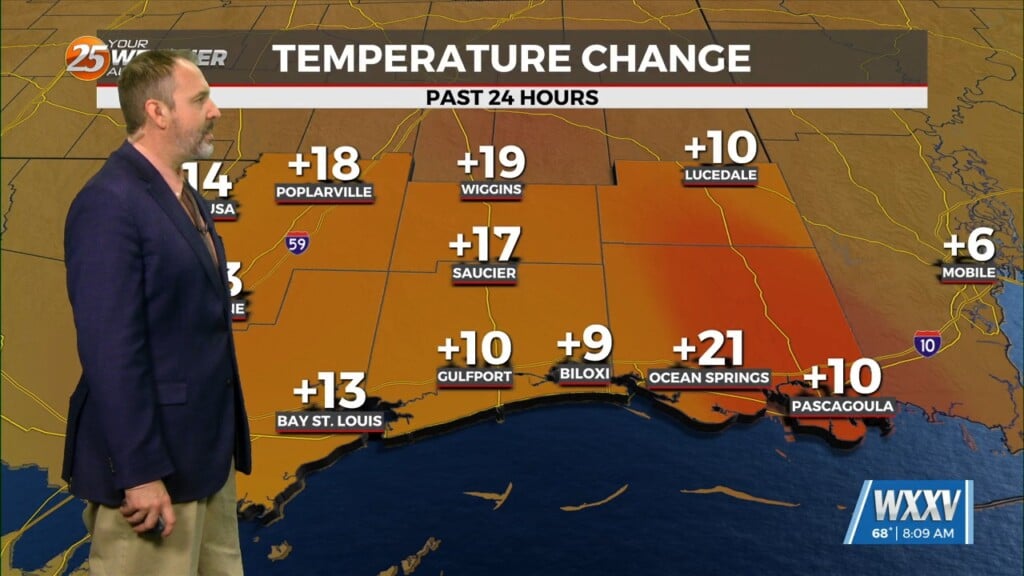
Things are still a bit on the warm side this morning, but the good news is it’ll be the warmest morning of the week as cooler, drier air filters in! That’s due to a cold front slowly approaching throughout the day, so we won’t feel much just yet, but some pleasantly cool mornings and low-humidity afternoons are on the way just in time for Cruisin’ the Coast.
Today will be on the warm side though, with clear and mild start near 69 degrees in Gulfport and a sunny, slightly humid afternoon with a high near 90. That’s definitely reminiscent of summer, but the rest of the week just gets better and better as the drier air takes hold. That means no change in our sunny skies outside of some quick pops of light cloud cover, but some cool fall like mornings and much more seasonal afternoons for the rest of the week and the weekend.
Tropics: For the first time in recorded history past September, we have 3 active hurricanes at the same time. The only one of note in terms of strength and potential landfall is Milton, which is going through about the most rapid intensification I have ever seen. It has jumped two categories in just the last 4 hours, and will likely reach Cat. 5 status later today or tomorrow. Thankfully Milton will weaken just before landfall Wednesday afternoon, but should still be major hurricane with catastrophic storm surge expected.


