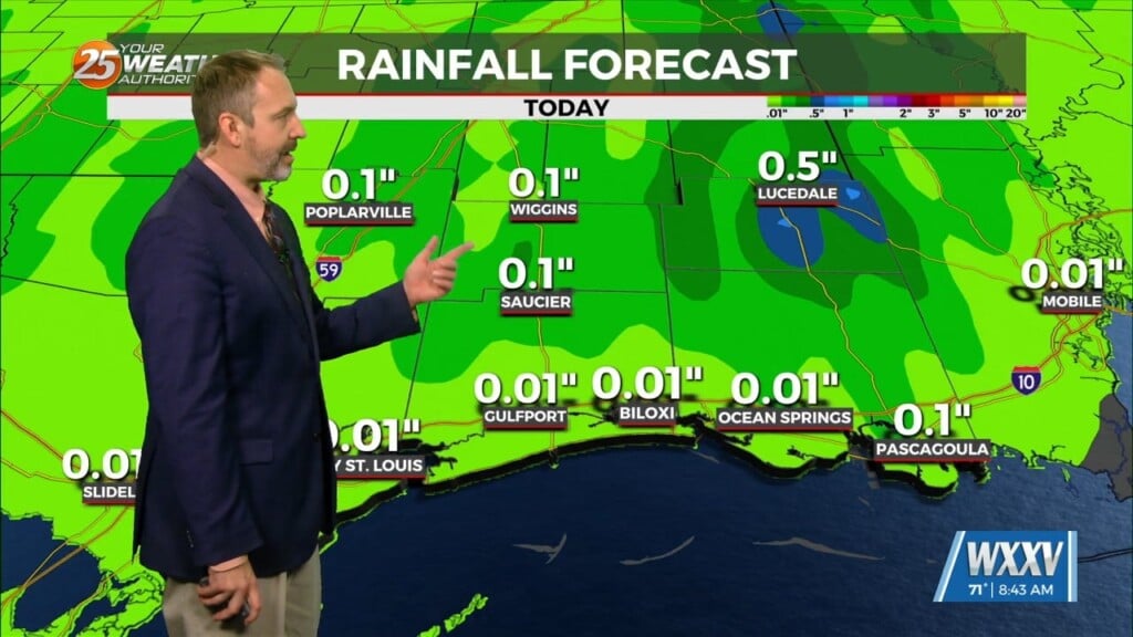
1/5 – The Chief’s “Wet Overnight Conditions” Friday Morning Forecast
I will try to keep things as simple and non-confusing as possible by keeping headlines to what is necessary and only ramping up to the highest headlines. Once in the highest headlines, we can then start to ramp things down. This keeps the lowest amount of headlines valid for any time segment and allows for tapering the end of the current headline. Today`s system will show a warm front trying to move inland but not making much headway as its farthest northward extend should be mainly just south of Baton Rouge to Picayune to Saucier then ENE from there. There is a chance that some of the storms south of this boundary could be surface based between 3-7 pm. But the majority of this activity will be elevated and thunder could be heard from some of these as well but more likely near the coast. Rain will be much like the system that just passed somewhere in the neighborhood of 1-2 inches.
The surface low will cause sustained winds to quickly rise today to around 20 to 25 mph with frequent gusts well into the 30s. This will prompt a wind advisory for those areas that most of this wind is surface based. As the air moves up and over the warm front, the surface winds will weaken for areas to the north but it will still be breezy.
This system will be very progressive and will not hang around, so flooding should not be the biggest issue with this and this is reflected with a marginal risk of flooding rainfall. SPC also has coastal areas under a marginal risk of severe which seems appropriate, but the main issue with this system will be the windy conditions along with a quick rise in coastal water levels and a low end coastal flood advisory will handle the issues expected with that.
The next frontal system should begin impacting the area by Monday. A few showers will move through Monday morning but a broken line of showers/t-storms will begin rapidly working through the area by noon or shortly before along a warm front screaming northward. This system will move quick as the cold front will move through by late Monday evening through the overnight hours.


