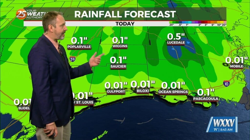
1/4 – The Chief’s “Roller-Coaster Weather Pattern” Thursday Morning Forecast
Out with one, in with the next. All these systems will continue in rapid succession for the next several days. Very nice conditions will remain behind the departed, but quickly begin to worsen with the arrival of the next one coming Friday into Saturday morning. Rain will be much like the system that just passed somewhere in the neighborhood of 1-2 inches, with t-storms staying in the outer coastal waters…for the most part.
Each successive system will bring its warm sector farther north. The next frontal system should begin impacting the area by Monday. The thermal gradient with this system is meridional which shows better transport northward of the warm sector and moisture. Strong divergence at jet level and no convergence below will join with a strong disturbance ejecting from the base of the long wave disturbance to help bring some strong to severe storms with this system if it presents the way models are handling it now.
A warm front will be trying to move inland Monday but this warm sector will be achieved causing the first wave of showers/t-storms to be elevated most of the day Monday until the warm front moves north late Monday and we see a window of several hours where there could be the best potential for a severe storm between 6 pm Monday and daylight Tuesday morning. The next system looks to impact the area by the end of next week and there is no clear signal on what this will look like at this time.


