1/3 – The Chief’s “Wet Wednesday” Morning Forecast
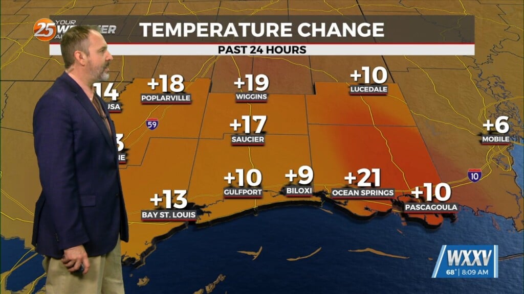
A warm front will remain along the coast today while the surface low-pressure developing over the NW gulf rides along it. This system will kick east rapidly through the day today. There are some very strong storms with this system well out over the gulf. Some of these could actually ride along the warm front and scrape the coast. Otherwise, all areas north of the surface low-pressure system will get rainfall today and some tallies could be up to 2 inches. Temps will tack on 5-10F today for highs from what is currently observed. This system moves east by this evening and a quick clearing will occur for overnight. Between the exit of this system and the entrance of the next, winds will shift from northerly to easterly then SE through Wed night.
The next system is expected Fri. The warm front could move inland with this system and give an avenue for the surface low-pressure to move along. Models still show there is good divergence at jet level with this system as it moves through, but the low-level convergence will be associated over the warm front. This would cause an inversion just below 5k feet which would keep all activity along and north of the warm front elevated. All in all up to 5” accumulation will be possible through this weekend.


