1/17 – The Chief’s “It’s Way TOO COLD” Wednesday Morning Forecast
A very deep longwave pattern still encompasses almost ¾ of the country with the apex now east of the Mississippi River Valley. This feature has driven an arctic airmass into the local area with current temps in the teens to 20 degrees.
The atmosphere will rapidly compress with high pressure along the Gulf South today as this pattern quickly moves eastward which allow for substantial moderation of the air mass compared to yesterday. Make no mistake that it’ll still be quite cold with highs a solid 15 degrees below normal. Generally zonal flow develops overhead later today and as post frontal surface high pressure slides east of the area, will begin to see return flow from the Gulf. This will drive dew-points up quickly overnight, and combined with increasing clouds from the south will keep temps from falling as much as they potentially could Another disturbance will dive south Thursday and bring the next chance for rainfall to the region.
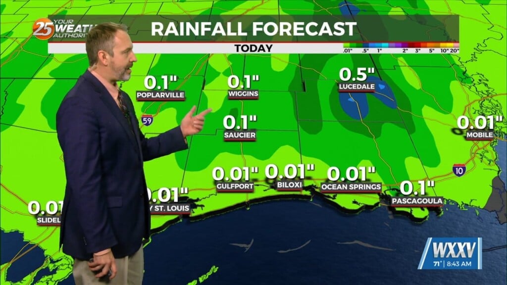
Short window of opportunity for moisture return and generally meager lift expected means coverage should be well on the lower end of the spectrum with not much in the way of appreciable accumulation. As the disturbance digs south towards the northern Gulf Coast, another strong cold front will march across the area. Although not as cold as most recent arctic airmass, likely looking at hard freeze conditions again for roughly the northern half of the local forecast area for a couple nights over the weekend. Both Saturday and Sunday looks to be well below normal highs which might not even reach 50 degrees even as temps moderate Sunday.


