1/10 – The Chief’s “Sunny But Cool” Wednesday Morning Forecast
The deep upper-level system that produced Monday night’s severe weather is now over the Mid-Atlantic states and moving into New England. The next disturbance in a seemingly never-ending northern stream is over the lee side of the Rockies and moving onshore in the Pacific Northwest. At the surface, high pressure was centered near Lake Charles.
High pressure will shift eastward over the next 36 hours and be off the east coast of Florida by Thursday afternoon. The current disturbance over the lee side of the Rockies will remain well north of the area, kicking the storm over the Mid-Atlantic States off the coast. The Pacific Northwest disturbance will dig southeastward into the Four Corners area by Thursday afternoon. Moisture values will increase, with upper-level clouds moving in late tonight, with partly to mostly cloudy skies on Thursday.
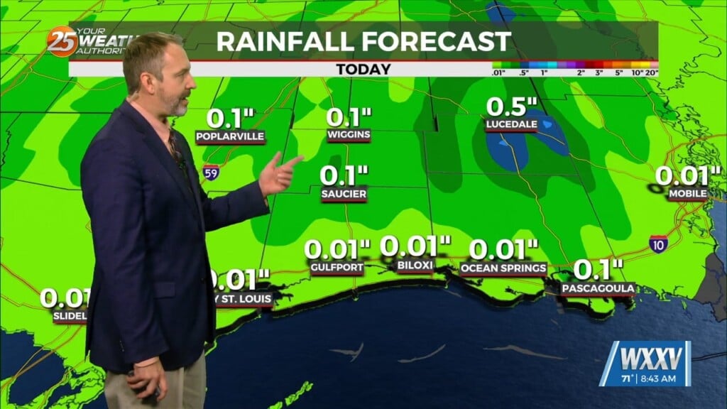
The next system will once again bring the potential for severity late Thursday night and Friday morning. While instability will be sufficient for severe weather, forecast soundings indicate we may be capped in the low-levels. Much of the strong convection may be just north of our area, but if we can get surface based convection, there`s certainly potential for severe weather, mainly north of Interstate 10, where SPC has a Slight Risk for late Thursday night into Friday. Main threat is likely to be wind with the potential for a tornado or two, if we can get supercell development ahead of the front. The severe weather threat will probably be over by noon Friday as the storms get east of the area. Heavy rain doesn’t look to be much of an overall threat with this system, with most areas seeing less than one half inch of rain. Wind is likely to be an issue again on Friday, with potential for Wind Advisories, but not quite as strong as the last event.


