1/1 – The Chief’s “Sunny & Warmer Welcome To 2024” Monday Morning Forecast
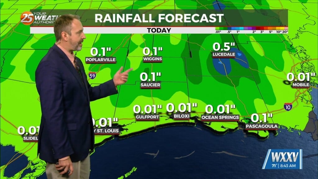
A very progressive upper level wave pattern will keep things rather unsettled through the short term period as a series of disturbances pass through the region. The first of these will pull through the area today with an attendant cold front. Although moisture advection in advance of this system will be somewhat limited, there is just enough forcing and moisture convergence is expected along the front to produce a few light rain showers over the southern half of the area.
A fairly potent upper level high pressure will slide in from the west tonight into tomorrow, and this will increase deep layer subsidence across the region dramatically. Skies will quickly clear this evening, and will remain clear through tomorrow afternoon. The next fast moving and vigorous shortwave trough will slide through the area on Wednesday. The combination of favorable jet dynamics, increasing deep layer lift, and a region of increased instability over the northwest Gulf will lead to the development of a fairly strong Gulf low by late Tuesday night. As this low deepens, southwesterly mid-level flow of 25 to 30 knots will transport in a pool of deeper moisture into the forecast area. The result will be extensive and locally heavy rainfall pushing through the region from late Tuesday night through Wednesday afternoon. Rainfall totals of 1 to 2 inches can be expected, and a few locations will see locally higher amounts of up to 3 inches.
The current guidance has fairly robust surface cyclogenesis occurring late Friday night and early Saturday morning over SW LA as the trough over the southern plains become negatively tilted over Texas. Expect rainfall to be efficient, so if the system comes through slower, we could see some flooding concerns into the weekend.


