09/29 Ryan’s “Summer in September” Monday Forecast
Fall may have started a week ago, but despite a couple of quick teases summer is still holding on.
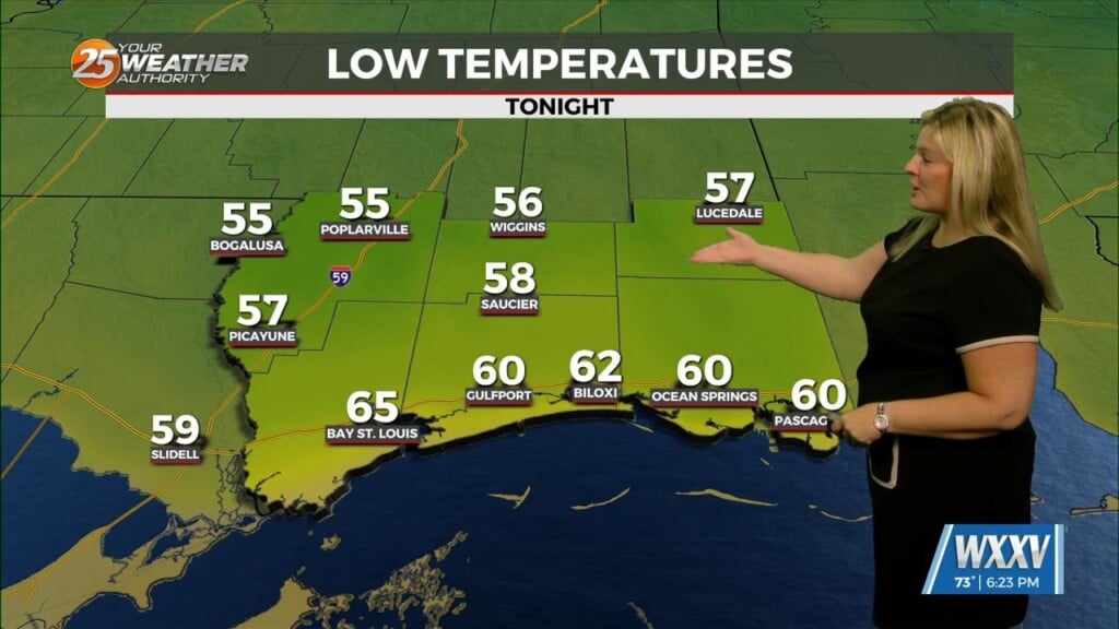
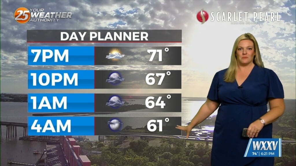
Fall began just after noon last Monday, but we’ve already seen some nice, more seasonal weather…today though will be a bit more reminiscent of summer. We climbed out of the 60s this morning, returning to the low 70s along the coastline while the inland areas were a touch cooler. We had a bit of light cloud cover earlier, but skies are almost perfectly sunny as we head into the afternoon. I expect the heat of the day will cause at least a few more to develop before sunset, but expect more sun than not for the rest of the day. Any clouds we carry through sunset won’t last long, clearing nicely to start off Tuesday clear and mild. I expect rain to stay away until the end of the week, but Wednesday could see a stray shower in the afternoon, but it’s not a sure thing by any means.
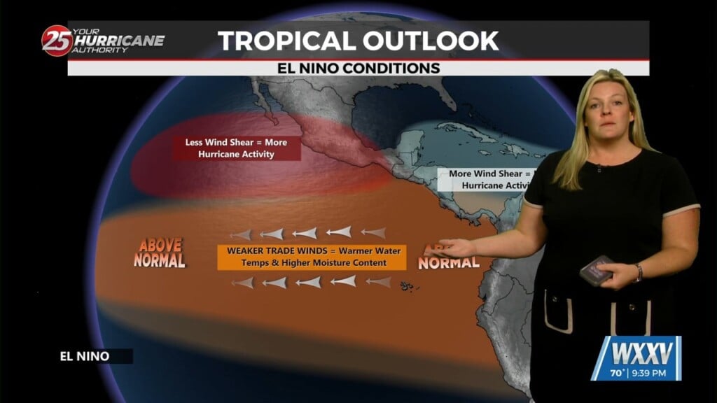
Tropics: Humberto reached Category 5 over the weekend, but is slowly weakening as it begins turning more and more to the northeast. It doesn’t look like there will be any direct land impact from this storm. Imelda became a tropical storm, and won’t impact the East Coast as previously thought. Imelda should slowly strengthen into a hurricane, and may directly impact Bermuda by late Wednesday/Thursday morning.


