09/19 Ryan’s “Getting Drier” Thursday Morning Forecast
Things are starting to noticeably dry up in terms of rain, but don't expect a big drop in humidity as we officially begin fall over the weekend.
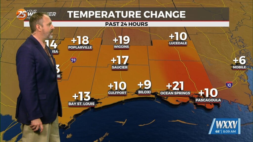
Yesterday didn’t see much rain as we’re starting to see noticeably drier conditions moving into the mid-and-upper-levels. That’ll lead to fewer clouds, no showers, and lots more sun today and for the rest of the week, but notice I didn’t mention the humidity…which stays on the high side which has led to the last few misty mornings.
This afternoon will warm up a bit thanks to the additional sun, high climbing a couple more degrees up to our seasonal normal of 88 degrees. We could swing a degree or two in either direction depending on if I’m over or under estimating the cloud cover, and there’s still a “not-impossible” chance of an isolated shower or short-lived sprinkle. I expect if we do see one or two of these develop it’ll be between noon and 3-4 PM, pop-up near the coastline, and immediately be forced to the south over the water. We’ll also see a quick pop of partly sunny (~50/50 clouds-to-sun) skies around this time, but overall I expect we’ll trend closer to mostly sunny (~25% clouds) today and even more sunny for the weekend. In fact, it won’t be until next Wednesday we see a higher than 20% chance of rain, so get ready for plenty of sun.
In the tropics, only one of three potential disturbances could head our way. Right now chances of its development are around 40% for the next several days, with track and intensity forecasts running the gamut from essentially nothing to a major hurricane, and from Mexico to West Florida. This means a South MS impact is possible, but no more so than any other location at this time. Stay with us here on WXXV News 25 and we’ll continue to update, especially it more consistently trends in our direction.


