09/09 Ryan’s “Fall-ish Start” Monday Morning Forecast
"Fall-ish" weather moved in to start the week, but will be forced out of the area starting today.
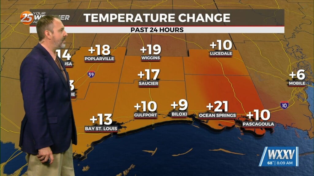
Sunday ended up as forecast with “fall-ish” drier air and cooler mornings moved in, and while we’re starting the week off that way it won’t stick around. We’re already seeing the significantly drier air in place over the state inching northward as tropical moisture creeps in. Right now that’s only showing up as upper level cloud cover as the sun comes up, but we’ll see it build into the afternoon. That may lead to a few showers and thunderstorms, but they’re looking fairly sparse today. That won’t be the case for the rest of the week though….
That’s due to the continued development of Potential Tropical Cyclone Six, which we were watching last week as an area of interest in the Bay of Campeche, west of the Yucatan Peninsula. It looked initially like this one would push into NE Mexico/SE Texas like Beryl did, but now it’s getting tangled up in our lingering stationary front which will pull it our direction. The current forecast still has it passing to the west of us Wednesday night/Thursday morning, as a category 1 hurricane. This would be close enough to bring us significant tropical moisture, and some light storm surge along the coast, but hurricane force level issues aren’t expected for South MS. This storm is still developing though, so stay tuned to WXXV News 25 for the latest updates throughout until it landfalls and moves away.


