03/02 Ryan’s “Cooler & Dry” Thursday Afternoon Forecast.
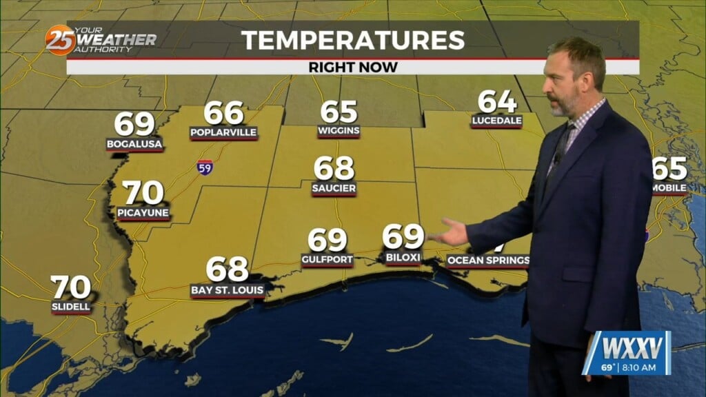
Last night’s cold front didn’t bring much rain or any severe weather, but it did bring some long awaited cooler and drier conditions to South Mississippi. This afternoon saw an almost immediate drop in temperature with yesterday reaching 80 while today’s high barely managed 67. This high pressure center is expected to slowly move NE across the Southeast, so these conditions will linger through the weekend. It won’t be until Sunday afternoon that clouds and showers will move in from the West along the outer periphery of the high, and onshore flow will begin to increase our temperatures and humidity levels. Clouds will begin to move in on Sunday and will continue to increase ahead of a new frontal system expected to move in Tuesday night/Wednesday morning. It’s too early to be sure on exact timing of the frontal passage, or how strong any storms may be, but we’ll get more clarity as the time approaches. The tail end of next week is looking cooler and more clear than the beginning, very similar to what we’re seeing this week.


Leave a Reply