01/22 Ryan’s “Wet and Warm” Thursday Morning Forecast
After a frozen and frosty start to the week, we'll finish it wet and warm.
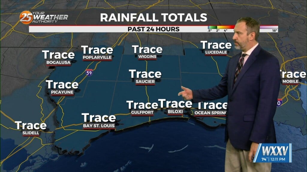
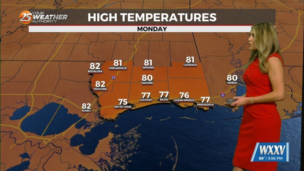
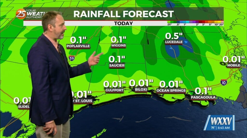
The showers began last night as a cold front approached, leading to a wet and warm start to the day across South Mississippi. These conditions aren’t in a hurry to leave either, sticking around for the next few days through the weekend. That’ll lead to warmer-than-normal weather like we’ll see today as the high climbs into the upper 60s/low 70s. That’s despite the cloudy skies and inconsistent showers/sprinkles we’ll continue to see, picking up a little on Friday then quite a bit more by Saturday. By then we’ll have cooled into the mid 60s, but a major cooldown is right around the corner. Temperatures will fall sharply Sunday, but it won’t be until the start of next week when some of the coldest weather we’ve seen yet arrives.
The winter weather potential for the weekend continues to linger nearby, but looks even less likely to impact us as the rain/snow line moved further north. We’ll continue to monitor and update.


