3/22 - Jeff's "Final Shows, Thank You Mississippi Coast Viewers!" Friday Night Forecast
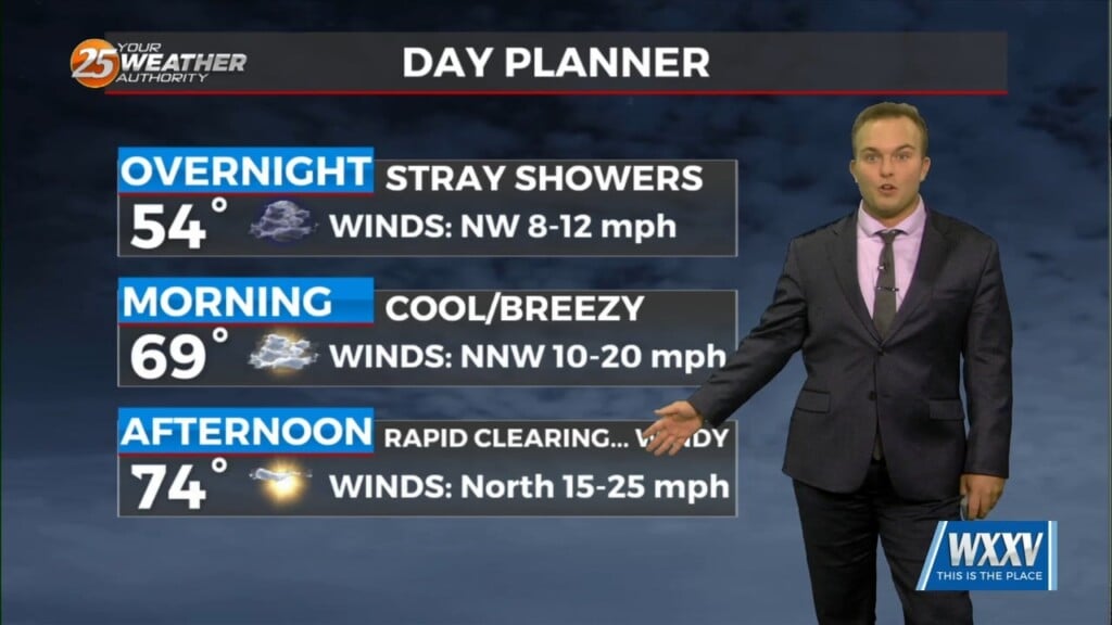
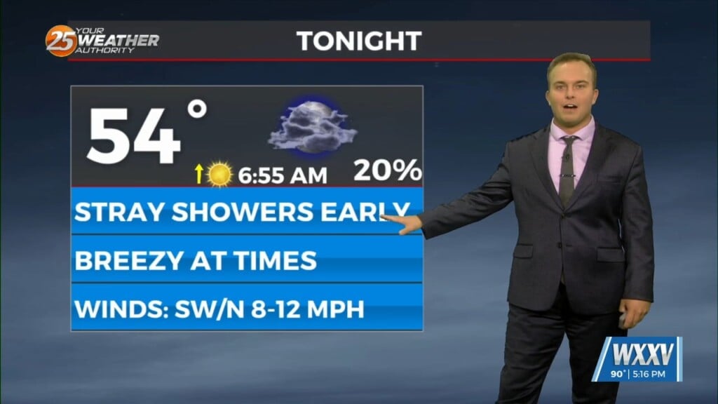
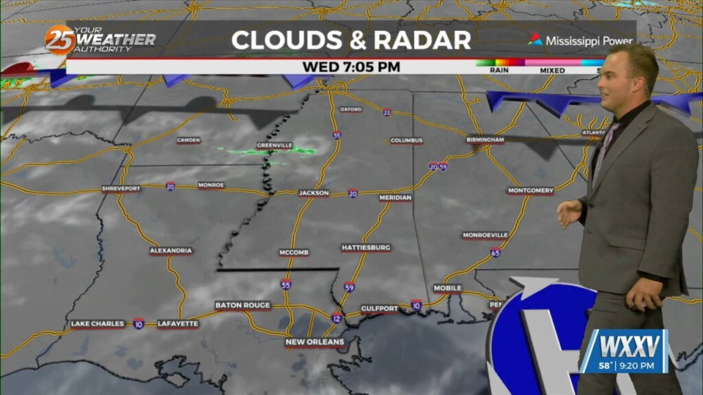
A 20-30% chance of showers cannot be ruled out tonight but any rainfall will be quick in nature. A cold front works through…
A 20-30% chance of showers cannot be ruled out tonight but any rainfall will be quick in nature. A cold front works through…
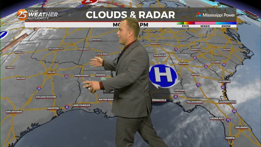
Low pressure in the region will help provide for rain chances this evening and overnight with quick-hitting showers. Saturday brings rapid clearing and gusty winds but a…
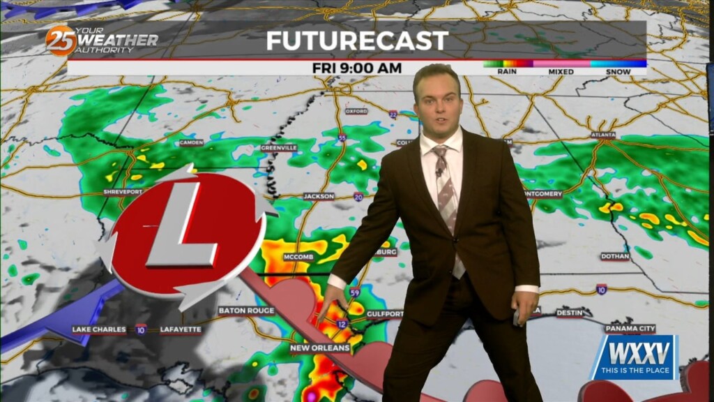
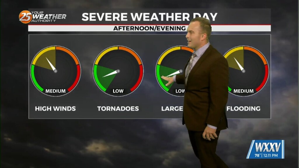
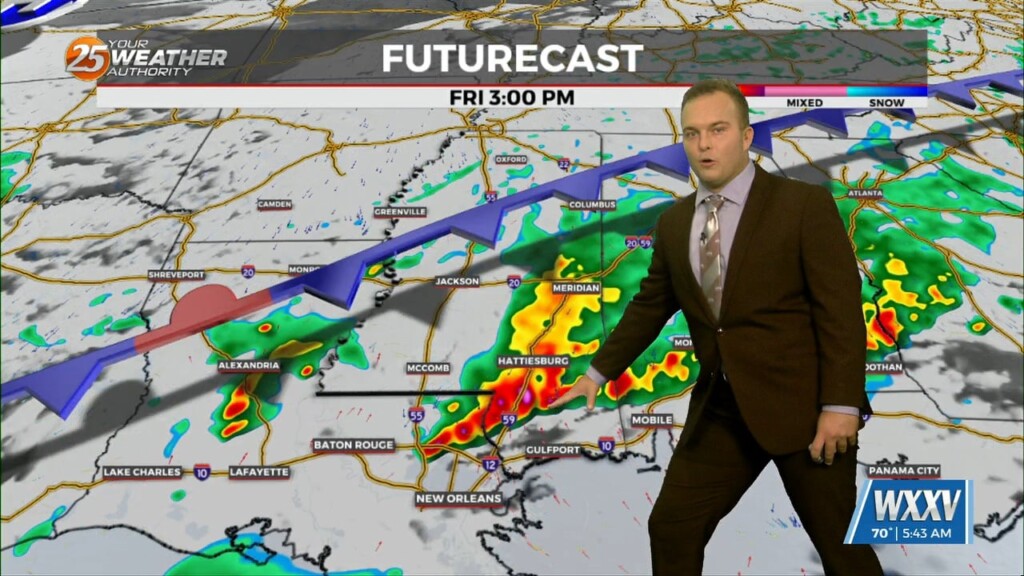
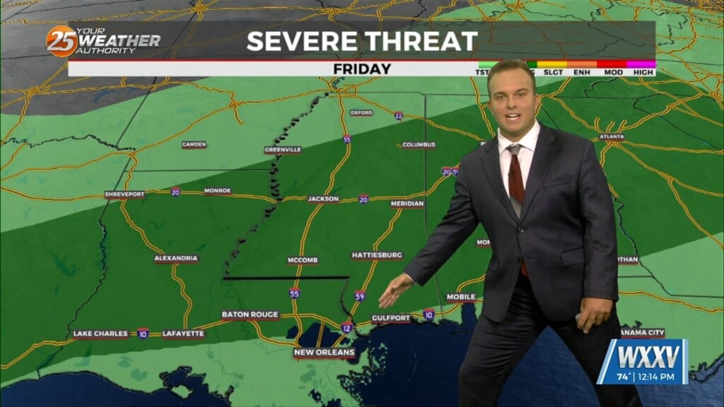
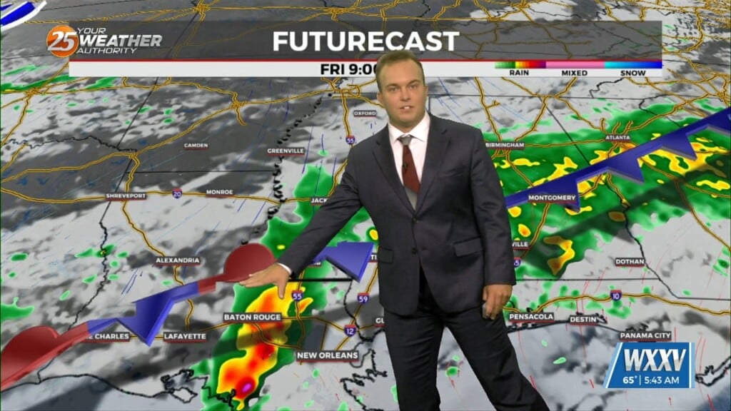
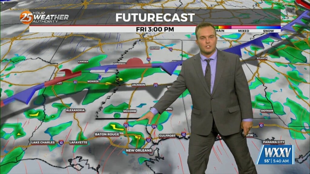
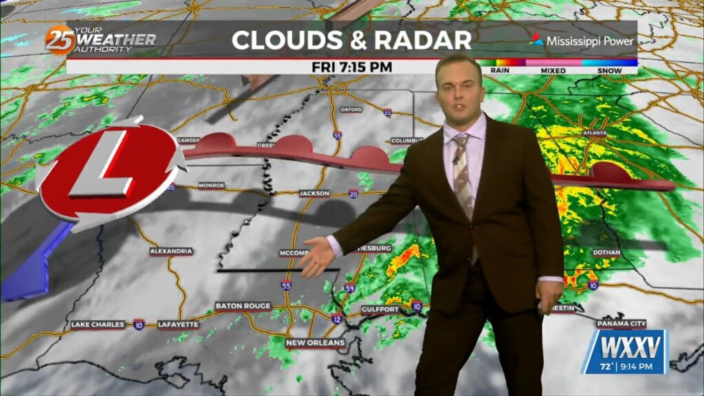
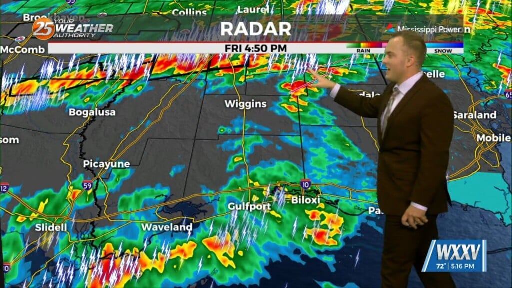
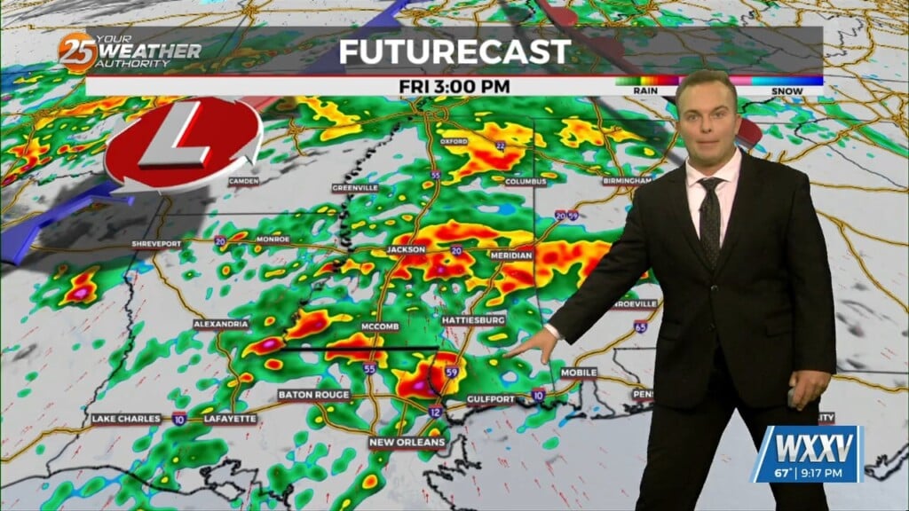
Rain-free conditions before daybreak Friday will eventually fade into the rear-view as a complex of thunderstorms works along the Northern Gulf Coast tomorrow. Heavy rain will be likely…
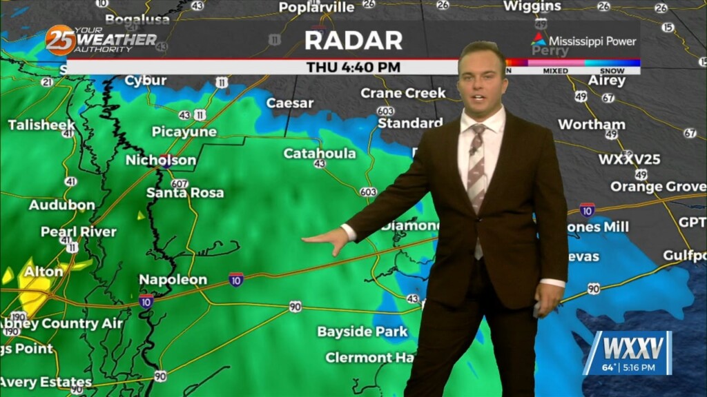
Gloomy conditions early on this evening will give way to light rain moving into the area. Do not expect thunderstorms tonight but expect nuisance rain at times.…
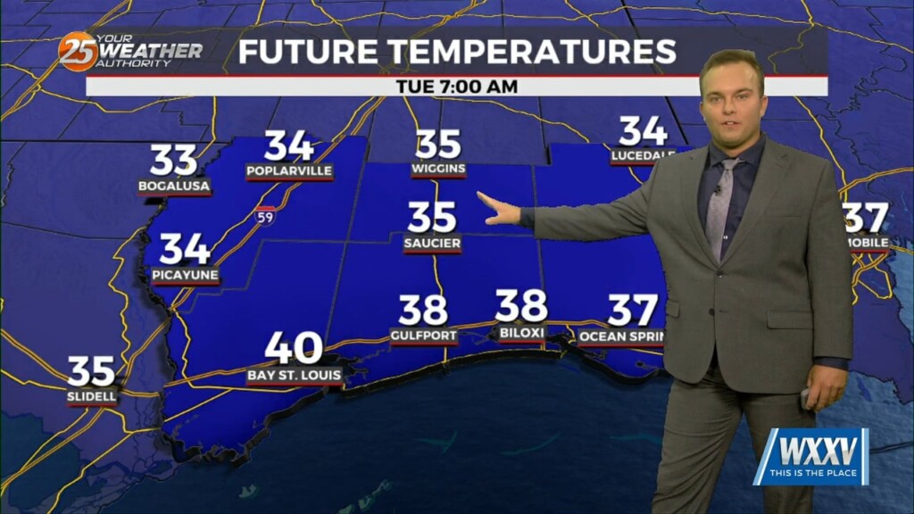
Expect temperatures to be less cold overnight thanks to more clouds working in and more humidity working in. Clouds will increase ahead of daybreak and temperatures…
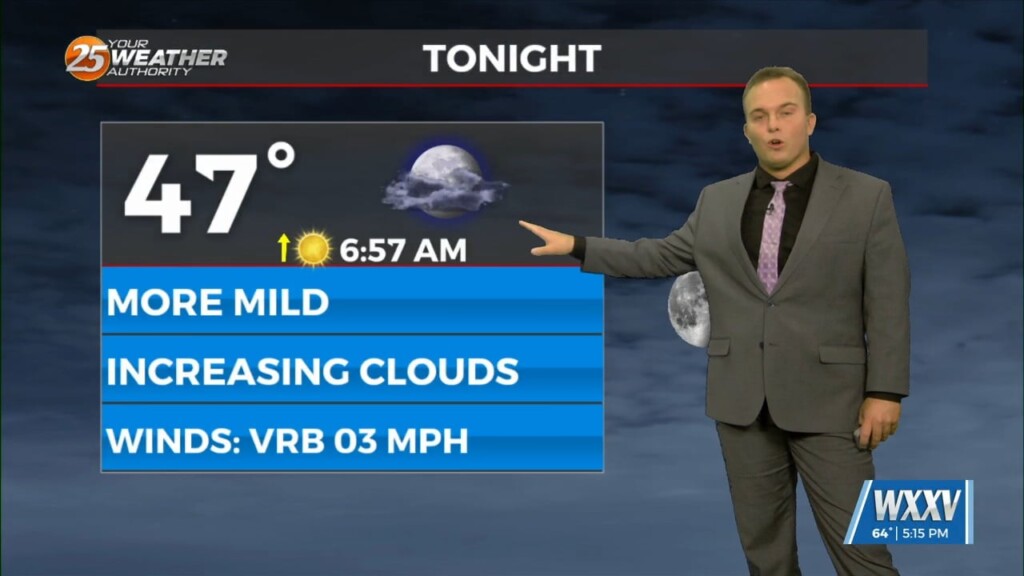
High pressure has scooted off to the east which is leading to return flow. Expect temperatures to be less cold overnight and skies to be partly…
Temperatures will be cold again for your Wednesday morning. Frost development should not be too widespread north of the interstate due to some cloud cover moving in. The…
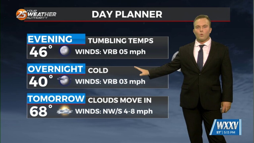
A cool evening will quickly give way to another cold night. One difference will be lighter winds which will eliminate a wind chill factor but also…

Breezy & cold conditions are here for the beginning of the week. A Freeze Warning is in effect until 9 AM Tuesday morning due to the potential for…
Skies have cleared out and elevated northerly winds have taken shape behind a cold front. Breezy conditions remain for some of the evening. This will be a…
A cold front will clear the area as we usher in the new week. A cooler pattern will greet us as winter’s last gasp will be in store…
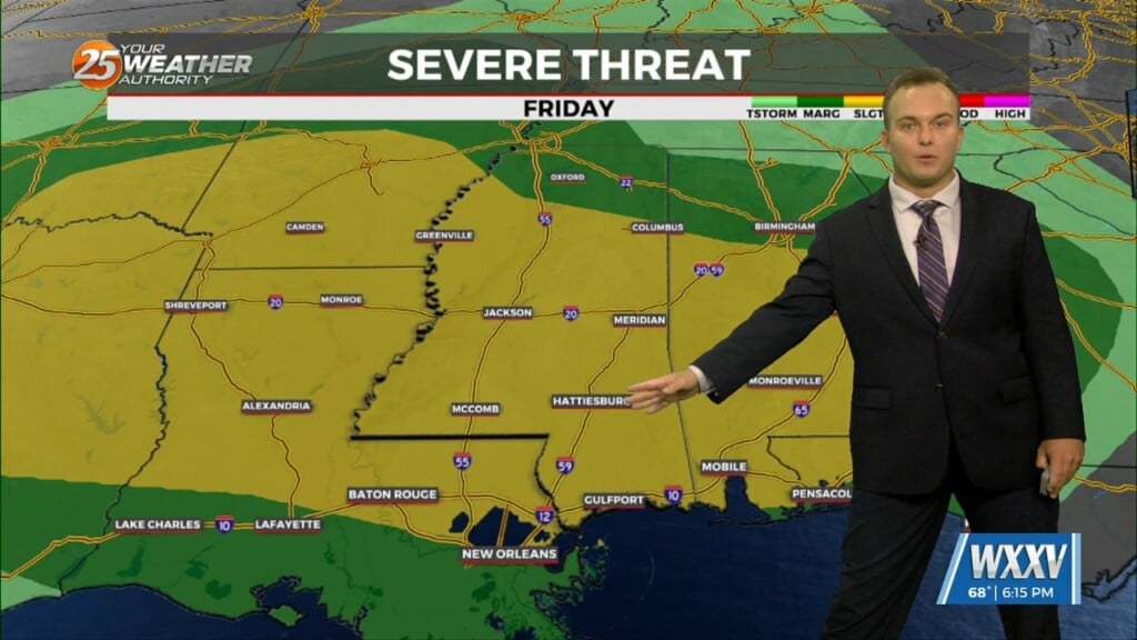
A Severe Thunderstorm WATCH is in effect until 7 PM. This means conditions are favorable for thunderstorms to produce winds in excess of 60 MPH, small hail,…
A Dense Fog Advisory is in effect until 10 AM for our whole area, and until 11 AM for marine zones. Fog will gradually lift through…
Breezy conditions will take hold this afternoon and more cloud cover will fill in. In addition to that, there will be a 30% or so chance of rain…
Some spots may find dense patches of fog out the door this morning. Fog will quickly dissipate and give way to a warm one…
Cloudy skies remain through a good portion of the afternoon with a 20% chance of light showers as well. Skies will clear out somewhat towards this evening and…
More clouds are around to start your Wednesday. A cool start will turn into a warm one today with temperatures reaching the 70s by…
Skies will clear out for the most part tonight while temperatures remain cool if not chilly. Lighter winds and the clearer skies will yield efficient cooling so…
The Tornado WATCH for our area has been canceled. Our area is ALL CLEAR from the threat for severe weather. There will be the chance for scattered showers…
A Tornado WATCH is in effect until 9 PM. Showers and thunderstorms, some capable of being severe, will be around into some parts of this evening.…
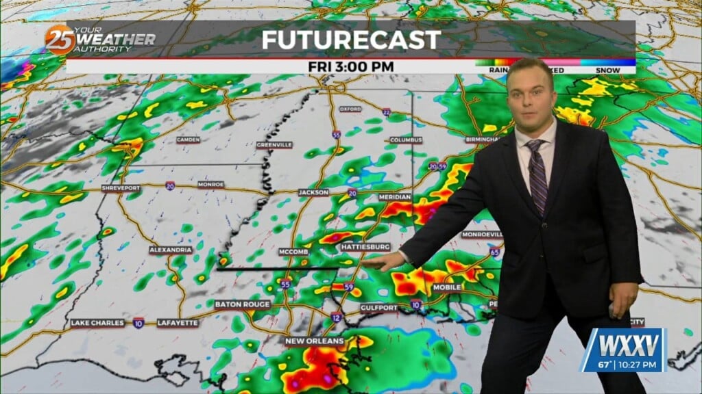
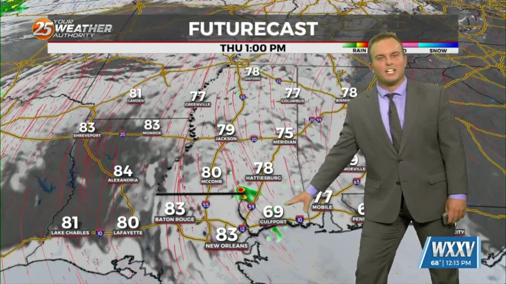
Expect increasing clouds and a mild start temperatures-wise for your Friday. While it will be rain-free at the start of the day, rain chances begin as soon…
Pleasant conditions will be around this evening but expect increasing clouds and a mild start for your Friday. The big focus becomes the potential for…
Fog will be primed to form ahead of your Thursday morning. Be sure to take extra care if you have an early morning commute! Fog and early-day cloud…
Tonight will feature mild, but slightly cooler temperatures for the Mississippi Coast. If winds can back down quickly, fog will be an issue for your Thursday morning. This…