7/6 - Rob's Monday Morning Forecast
A damp and cloudy Monday morning...

A damp and cloudy Monday morning...
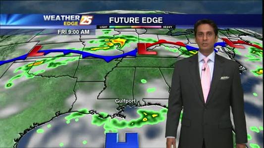
Weather forecast for Friday, July 3rd 2015

A cloudy and humid start...

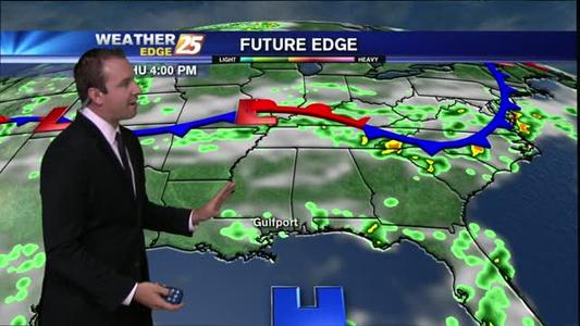
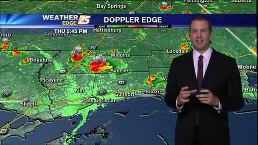
Weather forecast for Thursday, July 2nd.

A cloudy start with light rain moving through...
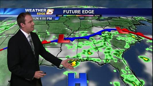
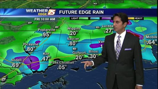
Weather forecast for the Fourth of July weekend.
A warm & Cloudy start...

A humid start with mostly cloudy skies along the coast...

Light fog with a few T-Storms developing...
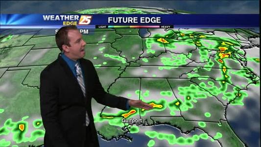
Weather Forecast for Friday and the next seven days.
A beautiful start with just a few clouds...
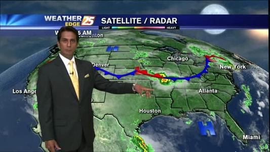
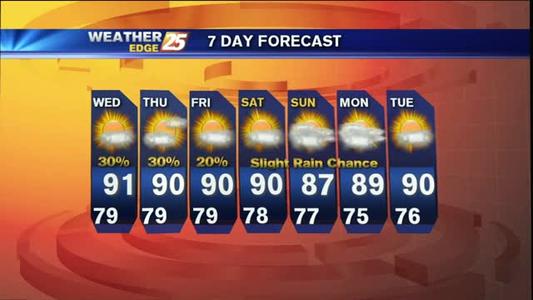
Weather forecast for Thursday June 25, and the next week after
A cloudy and muggy start...
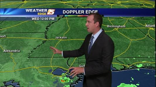
Weather forecast for Wednesday Night 062415

Early morning t-storms in the area moving into the northern Gulf...
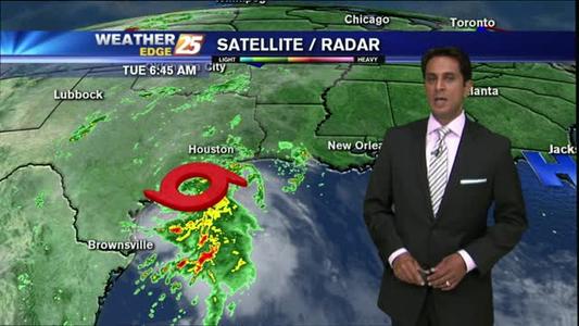
Weather forecast for June 23, 2015.
A warm start with HOT temps on-tap...
Weather forecast for Monday, June 22.
A WARM & HUMID start under partly cloudy skies...
A warm & humid start with a few light showers...

A sunny and humid start...
A warm and humid start, with drier conditions today...
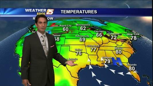
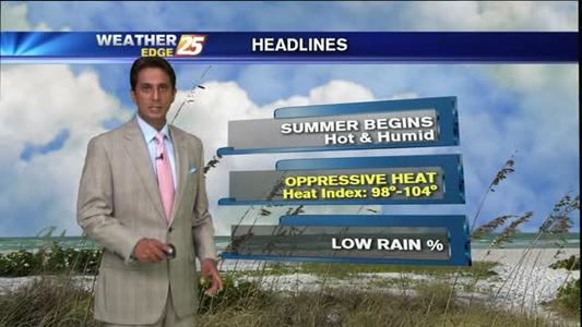
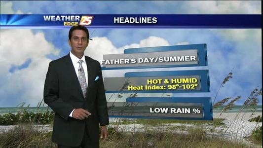
Sunny hot and humid week ahead.

A huge turnaround from the weekend