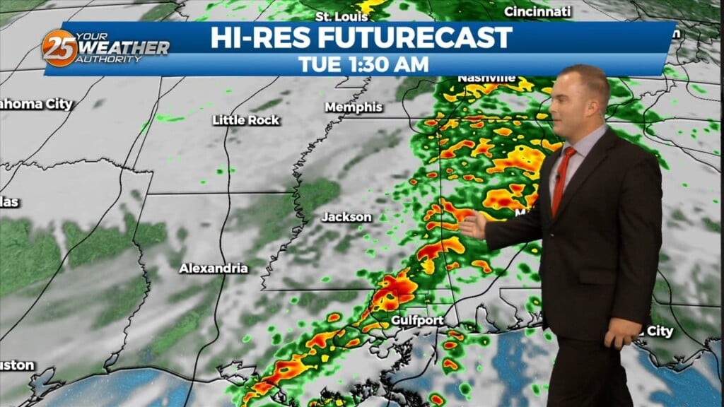
11/20 - Jeff Vorick's "Rapid Changes/Severe Potential" Monday Morning Forecast
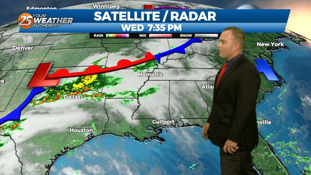
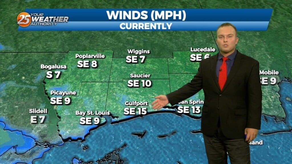
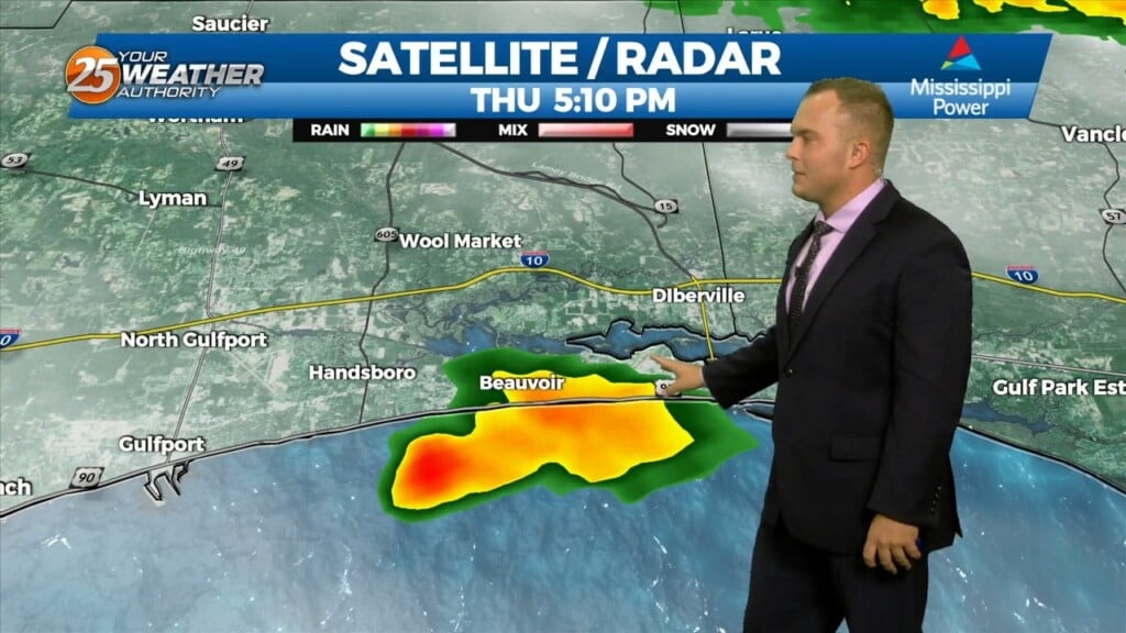
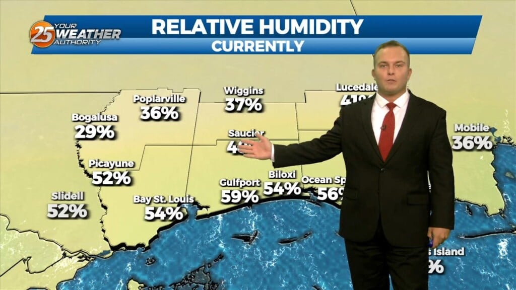
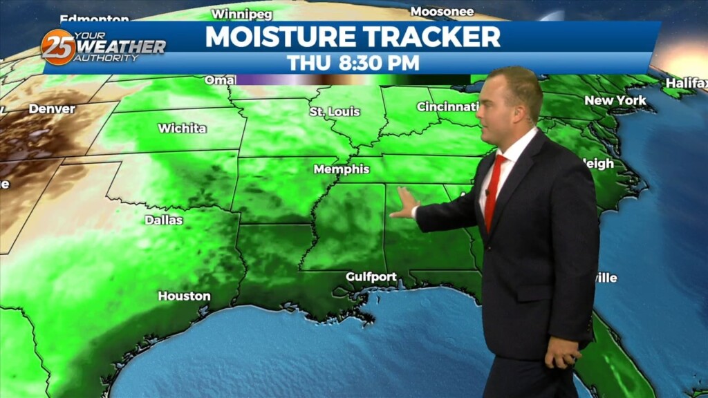
Today starts off with cool-to-mild conditions that will change through the day. Southerly winds will help increase moisture, especially this afternoon. This all happens ahead of…