8/13 - Chris's "HOT WEEK AHEAD" Sunday Night Forecast
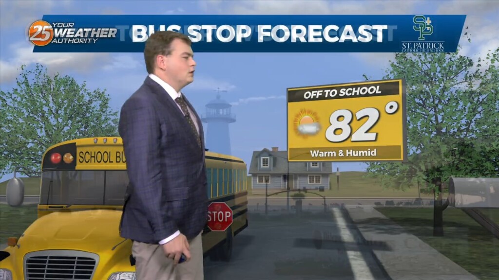
No need to sugar coat it this weekend has been very hot. This trend will continue into the start of the new work week. On Monday there…
No need to sugar coat it this weekend has been very hot. This trend will continue into the start of the new work week. On Monday there…
The main focus through the next couple of days will be the continuation of Excessive heat across the southern six counties. A Stationary boundary is near the area…
After a very loud evening a few showers and thunderstorms are still around the area this evening as rain chances decrease after the midnight hour. As we have…
Only a few small changes in the upper pattern this morning, with an area of low pressure over New England with another over Nevada.…
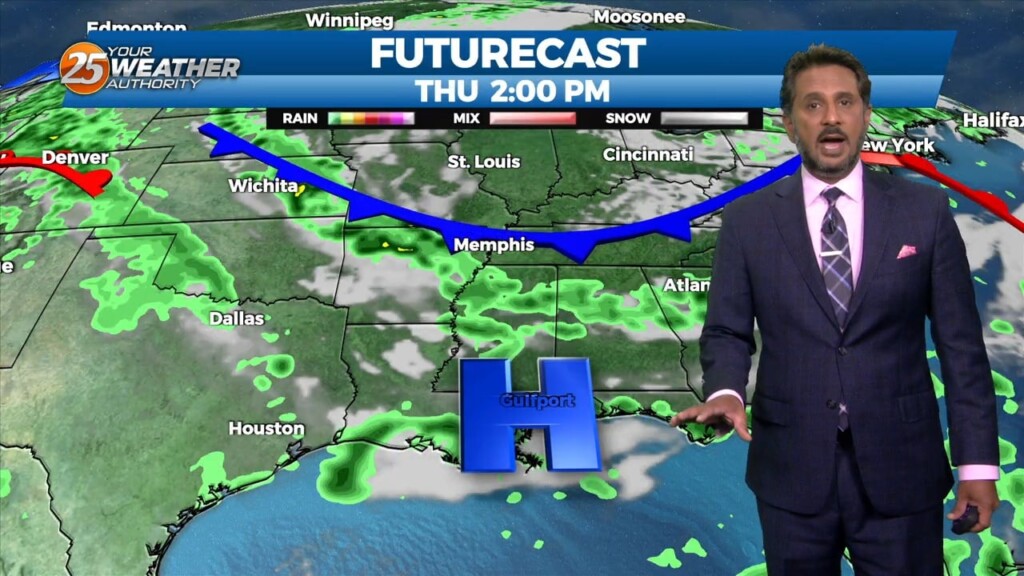
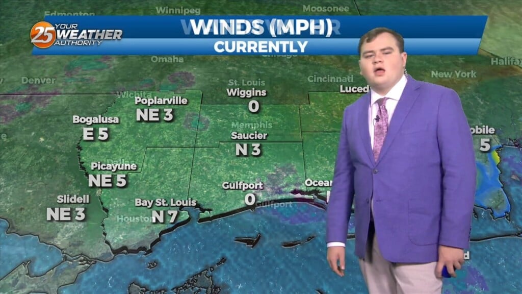
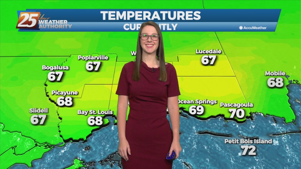
This morning there is a stationary front near the Mississippi coastline, with radar indicating isolated showers moving northwestward from the Gulf of Mexico. Temperatures will be in…
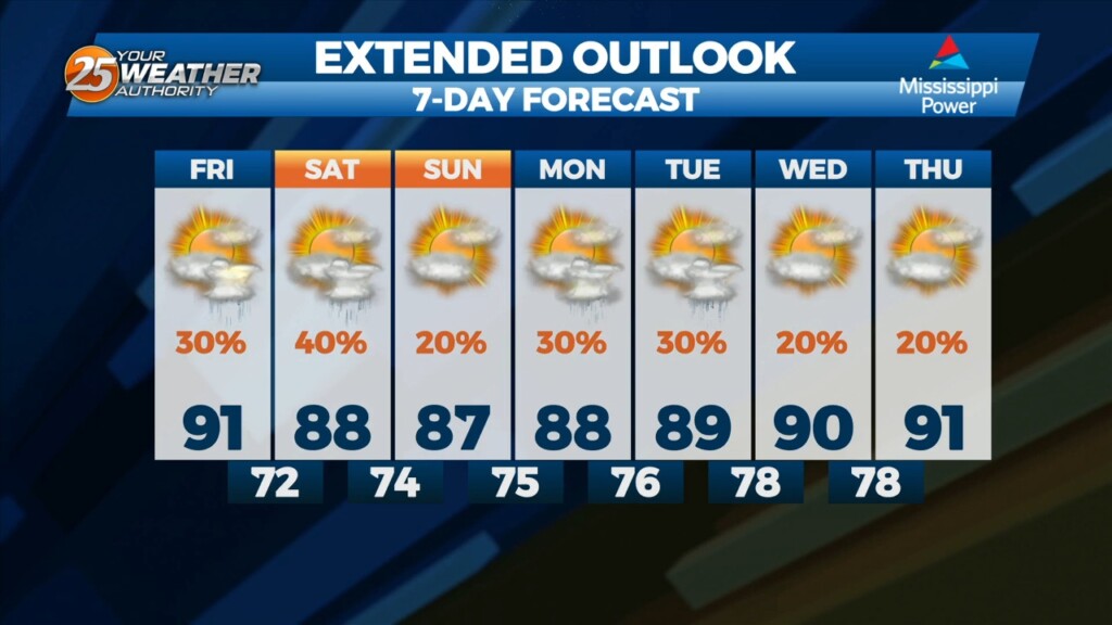
The next few days will be mainly a temp and dew-point forecast. No rain anywhere in sight during the workweek with the greatest impacts likely to the fire weather…
As per usual for this time of the year, conditions will be semi-favorable for gusty winds and possibly a severe storm, but overall the threat will be very localized. Storms will likely fire up in the mid-afternoon around 2 p.m.…