11/3 - The Chief's "Warming Trend Ahead" FriYay Morning Forecast
It’s another cool or coldish morning across the forecast area as the air mass has been slowly modifying. In the upper levels, an area of high…
It’s another cool or coldish morning across the forecast area as the air mass has been slowly modifying. In the upper levels, an area of high…
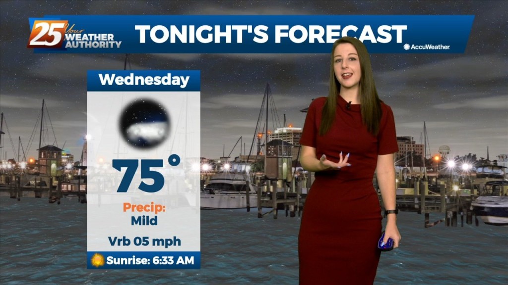
Tonight will be yet another mild and cool night with the above seasonal norm temperatures sticking around. Heading into tomorrow, it'll be another quiet but rather warm day as…
Pleasant weather with seasonable temperatures have been observed throughout the day today on the backside of a shortwave trough lifting into mid-atlantic CONUS as height rises and stable air…
With a surface cold front to the south going stationary, drier air north of the front will continue to keep the area under pleasant conditions…
Mid level dry air will remain in place today. This will help cap the environment, making it harder for thunderstorms to get started. There will be…
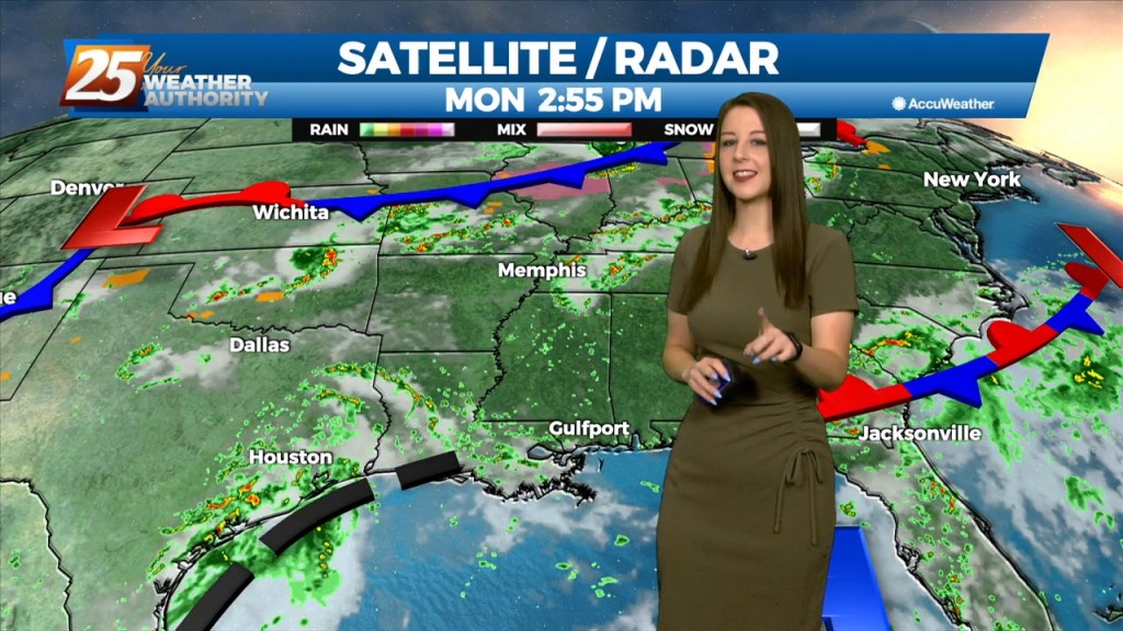
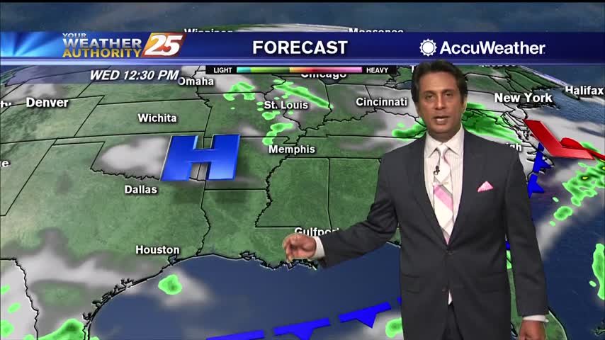
A broad ridge of high pressure will remain over the northern gulf through the week promoting onshore flow with showers and thunderstorms expected each day. Tonight through…
The area is currently still between high pressure to our west and and the Bermuda high pressure to our east and a weak mid level inverted trough over the…
Not much change in forecast parameters for the next 24 hours, with fog threat being rather high again overnight tonight. There should be enough air movement Friday…
A nice mild start to the day with areas of light patchy fog...
A GORGEOUS Friday afternoon throughout the Mississippi gulf coast...
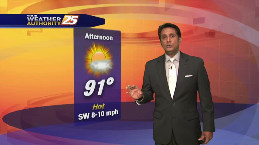
As the temperatures continue to warm, it feels more comfortable with low humidity...
After a CHILLY start to the 1st full day of Spring, temps are warming nicely into the upper 60s under clear skies...
It's a CHILLY start on this 1st FULL day of Spring with clear skies...