5/8 - Rob's "Back To Work" Workweek Forecast
After an ABSOLUTELY BEAUTIFUL weekend, the same conditions will continue through much of the workweek...

After an ABSOLUTELY BEAUTIFUL weekend, the same conditions will continue through much of the workweek...
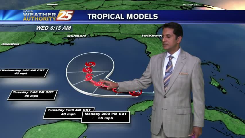
As moisture flow continues from the GOM, areas of PATCHY FOG has developed along the viewing area...
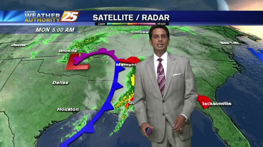
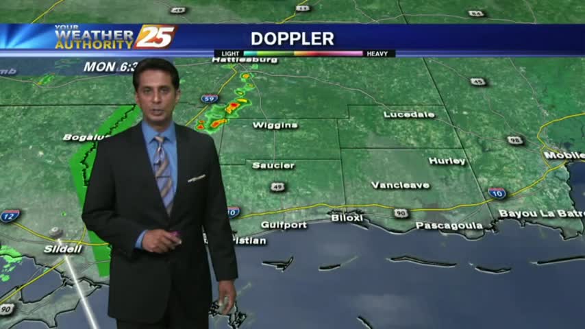
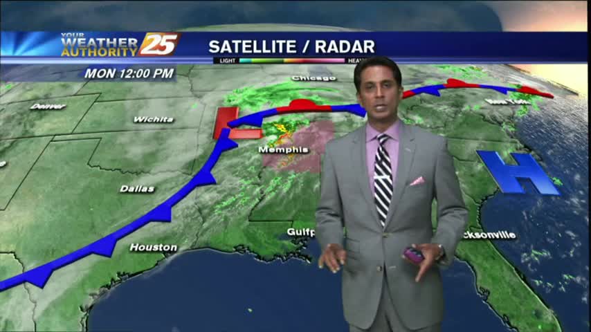
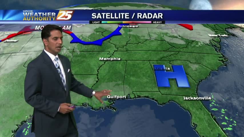
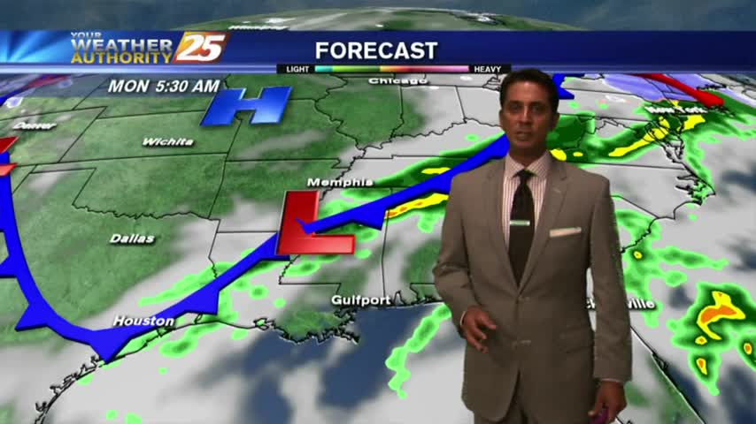
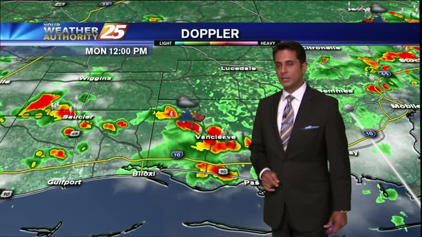
A BUMPY start on this Monday morning as weather with associated with a vigorous cold front approaches from the west...
After a cloudy, warm/humid start to the day...showers & t-storms continue to develop and move into the area...
After partial clearing yesterday...the clouds are back in the area along with rain developing along the Southern 6...
After DENSE FOG this morning along the coastal counties, warm and humid can be expected this afternoon with a few clouds...
After a FRIGID weekend, it's a VERY COLD start on this Monday morning...with major changes ahead.
After a FRIGID weekend, an approaching cold front to the NW has MUCH WARMER temperatures to kick-off the workweek...
The cloud shield which plagued the area through the weekend, is now moving to the east...
After a cloudy and rainy Sunday, it's a mostly clear start as TD #9 is now in the SE/tern Gulf...
After a warm and humid start, showers developed earlier...now becoming t-storms with daytime heating...