2/21 - Jeff Vorick's "Mild" Wednesday Evening Forecast
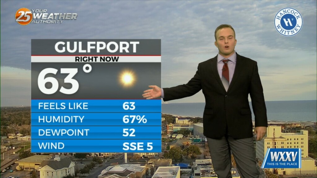
A fairly comfortable one is on tap this evening and temperatures will be fairly mild overnight. Clouds will increase after midnight and while fog is not a widespread…
A fairly comfortable one is on tap this evening and temperatures will be fairly mild overnight. Clouds will increase after midnight and while fog is not a widespread…
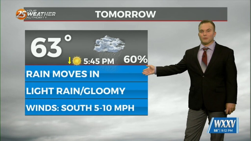
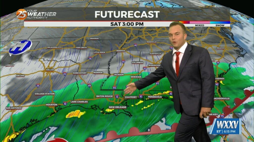
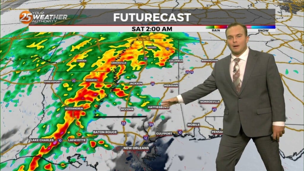
Some dry time arrives overnight but by the time your Saturday could be beginning, light rain will be in the area coinciding with/shortly after a cold front…
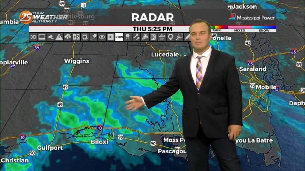
A shield of mist and light rain continues to plague our area as a pair of storm systems interact. Light rain will be around into some parts…
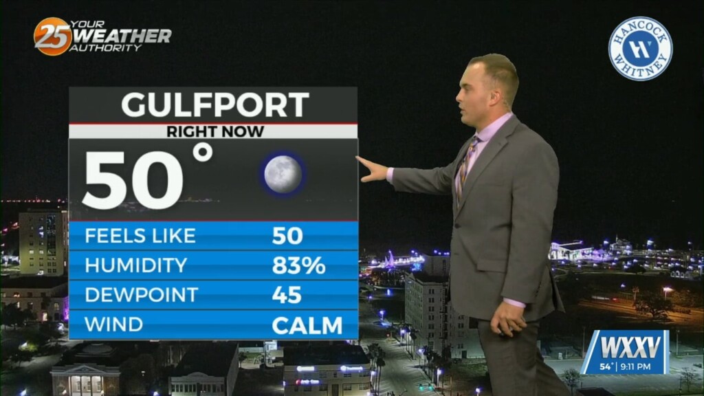
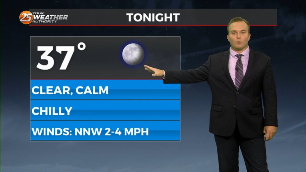
Cloudy skies continue tonight with mild temperatures. Some spots could see light fog develop & there is a 20% chance of rain past about 2 AM…
Mid-level and upper-level clouds continue to stream in as an active subtropical jet stream is in the region. Temperatures will remain fairly mild overnight as more humidity works back…

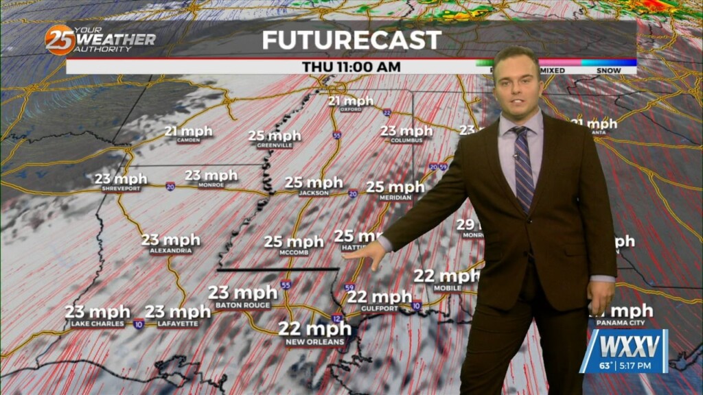
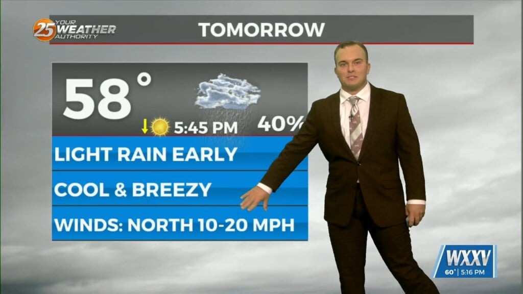
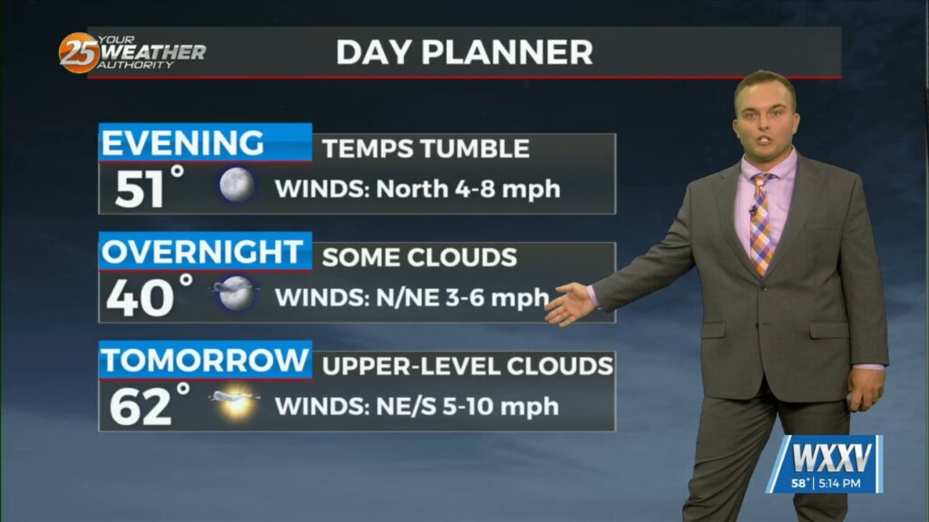
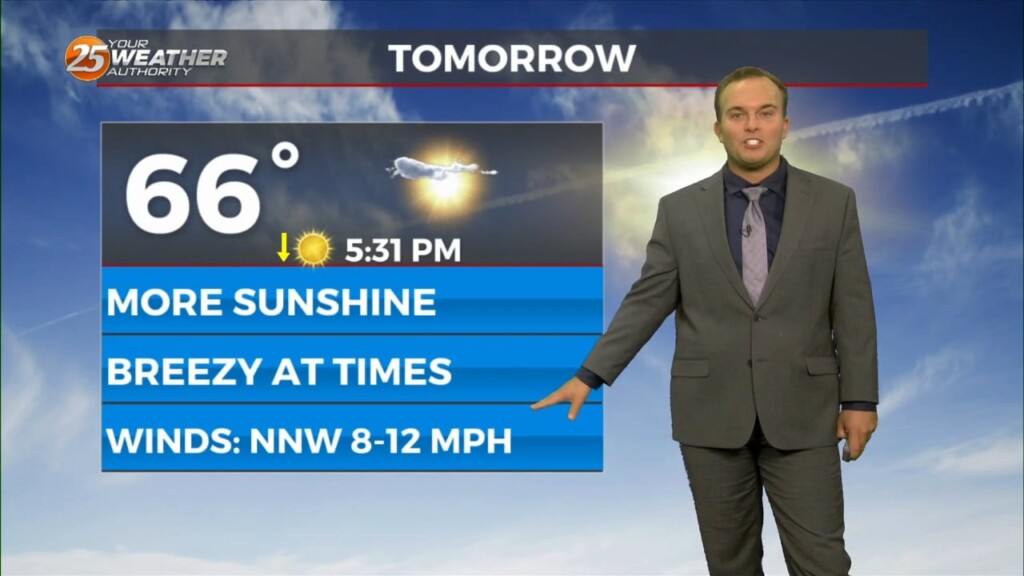
Thursday starts off cool/chilly but it will be milder than the last couple of mornings. Cloud cover will be around through the day tomorrow as an active…
Relatively nice conditions we experienced this afternoon will give way to a cool evening. Temperatures overnight will not be as chilly as this morning and winds will be…
Temperatures overnight will be slightly below average so it will be chilly to start Ash Wednesday/Valentine's Day. Expect a few clouds to partly cloudy skies Wednesday as an active…
Expect temperatures to drop fairly quickly this evening as winds relax and skies remain mainly clear. It will be chilly if you have any remaining Mardi Gras…
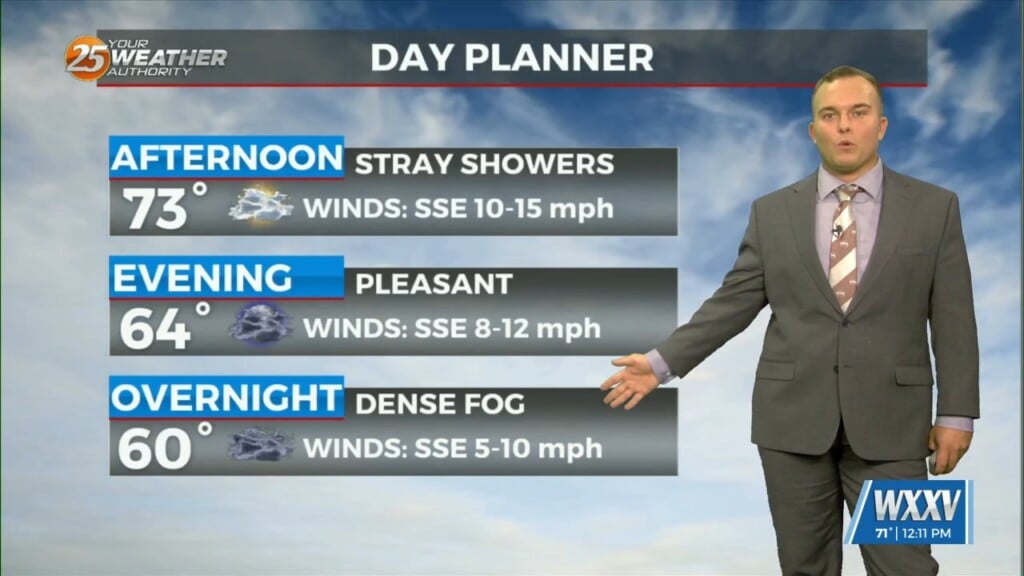
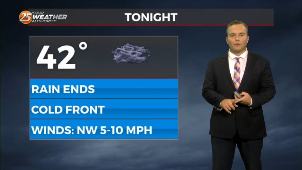
A cold front moved through the area this morning which brought an end to the rainfall. This afternoon, some sunshine will emerge but the main concern…
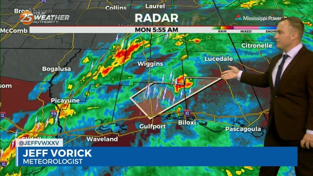
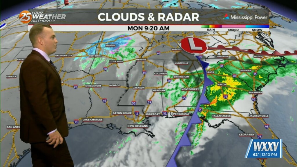
The threat of severe weather will come to an end this morning and the Tornado Watch for Stone, Jackson, Harrison, & George County will be…
Cloudy skies remain this afternoon as an active subtropical jet stream continues across our region. Beyond that, there is a 20% or so chance of a passing…
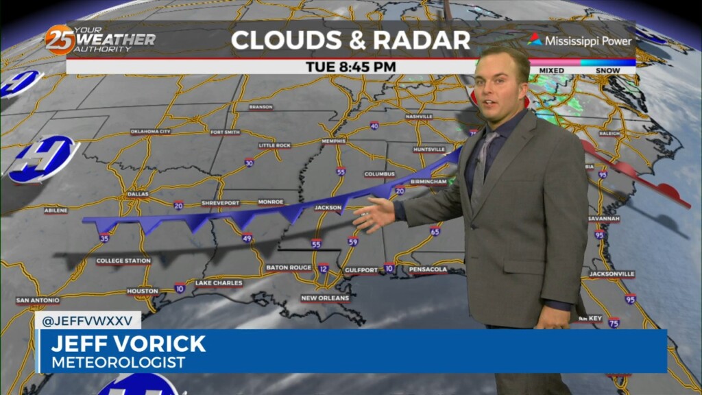
A weak cold front, packing no moisture and only a wind shift, makes it through our area overnight. Winds will turn to a north/northwesterly origin and become…
Pleasant and cool conditions this evening will give way to winds picking up in the wake of a cold front overnight. This front will be lacking…
The next reinforcing shot of dry air will move down behind a new backdoor cold front overnight/Wednesday morning. There is not a lot of boundary…
It is chilly, but not frigid to start off this week. Morning temperatures a few degrees below average temperatures for the day will warm to near-seasonal averages…
Rain chances early this evening will be put to bed temporarily while fog has the possibility of forming again. A Dense Fog Advisory will be in effect from…
A Dense Fog Advisory is in effect for our waters due to sea fog forming. Some patches of light fog are also possible inland of the interstate but…
Cloudy skies and breezy conditions continue overnight as the stagnant pattern settles in for the Mississippi Coast. Expect dreary conditions tonight with passing light rain/mist and even some…
A cold front passes through the area tonight bringing a wind shift and another shot of cold air. North/northwest winds will be around to start your Friday and…
Spotty rain/drizzle will be possible at times this evening into tonight. Some reduced visibility may be found if mist picks up and the cloud deck falls…

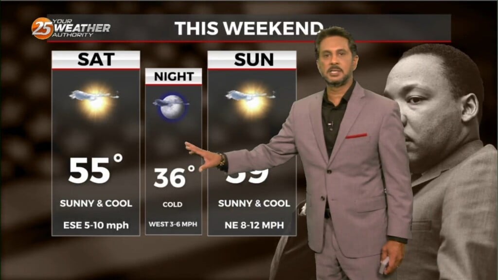
Saturday and Sunday will both feature cold starts, with temperatures in the 30s. Afternoons will be pleasant with more cloud cover and noticeable winds on…
After a relatively nice and warm day, colder air works in which will tank temperatures very quickly overnight. Freezing temperatures are very much in play for everyone…
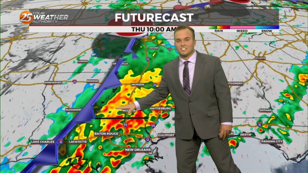
With an approaching system to the west, showers and t-storms are expected through midday. It seems that the best instability and forcing will remain north.…