Summer-like pattern returns this week
Meteorologist Sam Lucey has a look at the forecast for south Mississippi
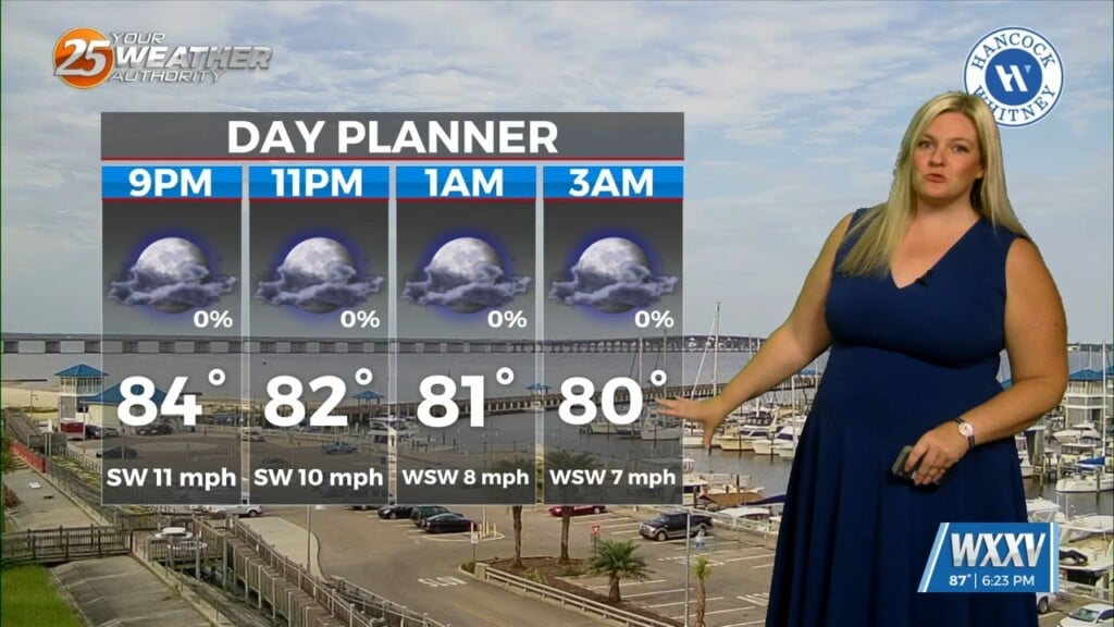
Tonight will be warm and muggy with partly cloudy skies and overnight lows falling into the upper 70s.
On Tuesday, expect mostly sunny skies with afternoon highs climbing into the lower 90s. When you factor in the humidity, it will feel more like 105 degrees during the hottest part of the afternoon. If you’re spending time outdoors, be sure to stay hydrated, take frequent breaks in the shade, and never leave children or pets inside parked vehicles.
Rain chances remain very limited Tuesday, with only a slight chance for a late-night shower or thunderstorm.
By Wednesday, moisture begins to increase across the region, allowing scattered afternoon and evening thunderstorms to develop. About half the area could see rain, but many locations will remain dry. High temperatures will once again reach the lower 90s, with heat index values approaching 105 degrees before storms develop.
A few isolated storms remain possible Thursday afternoon before drier weather returns heading into the weekend.
Friday through Monday looks ideal if you enjoy sunshine. Expect mostly sunny skies each day with highs around 90 to 93 degrees and warm, humid nights in the upper 70s. Rain chances will be very low, but the heat and humidity will remain the main weather story.