Showers stick around on Thursday before drying out by the weekend
Meteorologist Sam Lucey has a look at the week ahead
We’ll keep a chance for scattered showers and thunderstorms in the forecast through Thursday before a drier stretch settles in for the weekend.
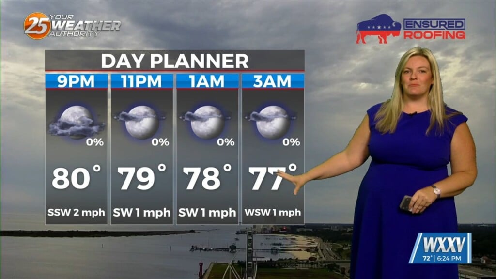
Tonight will be partly cloudy with a 40% chance of showers and thunderstorms developing after 1 a.m. Overnight temperatures will fall to around 75 degrees.
Thursday brings another opportunity for scattered afternoon thunderstorms, mainly after 1 p.m. Otherwise, expect a mix of sunshine and clouds with highs near 90 degrees. While not everyone will see rain, any storm that develops could produce brief heavy downpours, gusty winds, and frequent lightning.
Rain chances quickly decrease Thursday evening, with only an isolated storm possible before sunset. Skies will become mostly clear overnight with lows in the mid-70s.
Looking ahead, the weekend forecast looks much quieter. Sunshine will dominate from Friday through Sunday with highs around 90 to 91 degrees and warm, muggy nights in the mid to upper 70s. By Monday and Tuesday, temperatures climb into the lower 90s with heat index values likely pushing into the upper 90s and lower 100s during the afternoon.