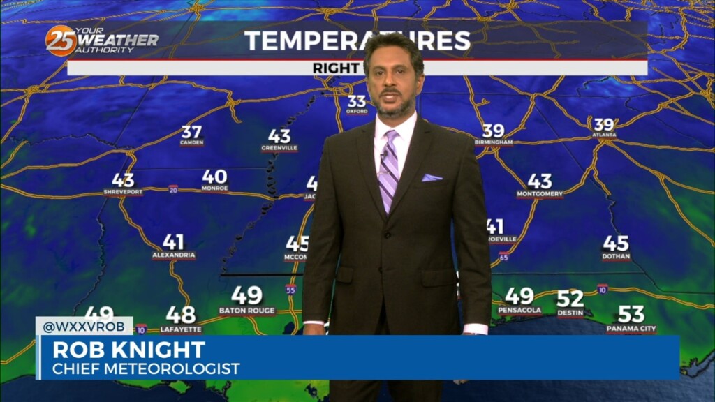
1/31 - The Chief's "Sunny & Warm" Wednesday Morning Forecast
A much drier air mass in the wake of an overnight cold front will remain in place through Thursday. The next reinforcing shot of dry air…
A much drier air mass in the wake of an overnight cold front will remain in place through Thursday. The next reinforcing shot of dry air…
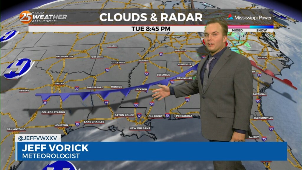
A weak cold front, packing no moisture and only a wind shift, makes it through our area overnight. Winds will turn to a north/northwesterly origin and become…
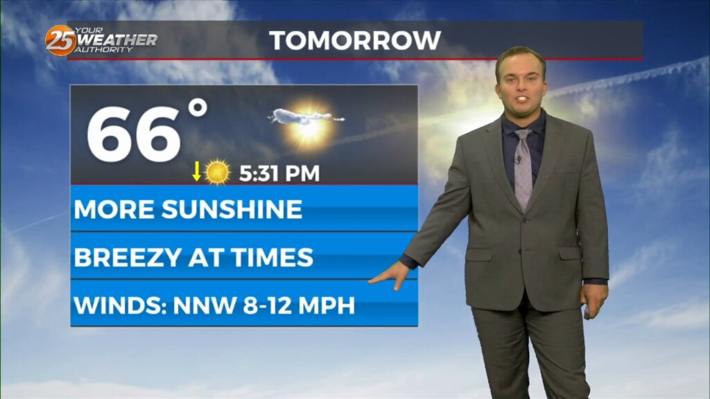
Pleasant and cool conditions this evening will give way to winds picking up in the wake of a cold front overnight. This front will be lacking…
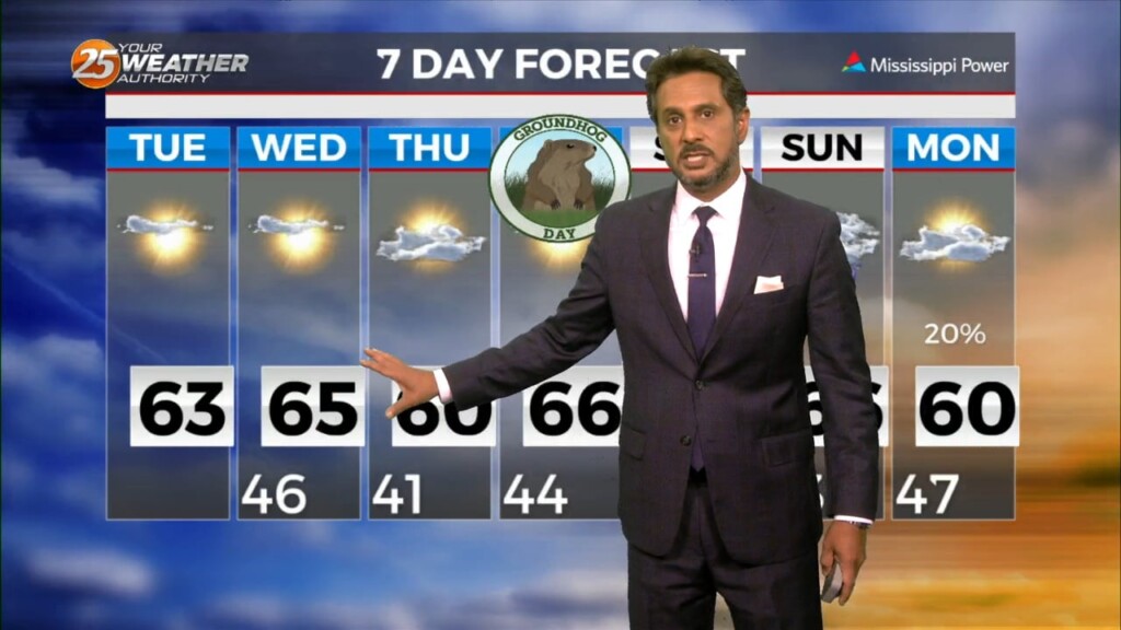
The next reinforcing shot of dry air will move down behind a new backdoor cold front overnight/Wednesday morning. There is not a lot of boundary…
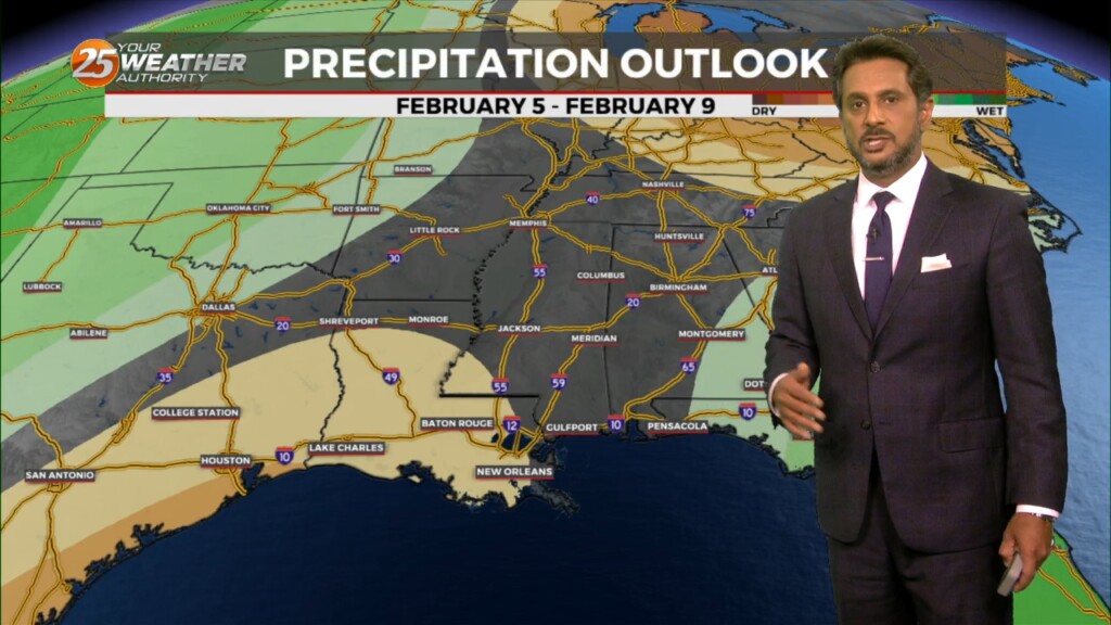
A dry air mass will remain in place through Wednesday. The next reinforcing shot of dry air will move down behind a new backdoor cold front…
Relatively benign weather expected now through Friday. Post frontal airmass continues to settle into the area though current temps suggest we`ve passed the bottom…
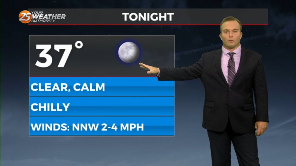
It is chilly, but not frigid to start off this week. Morning temperatures a few degrees below average temperatures for the day will warm to near-seasonal averages…
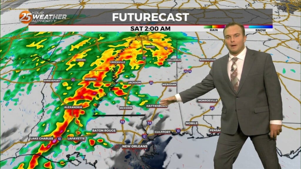
Rain chances early this evening will be put to bed temporarily while fog has the possibility of forming again. A Dense Fog Advisory will be in effect from…
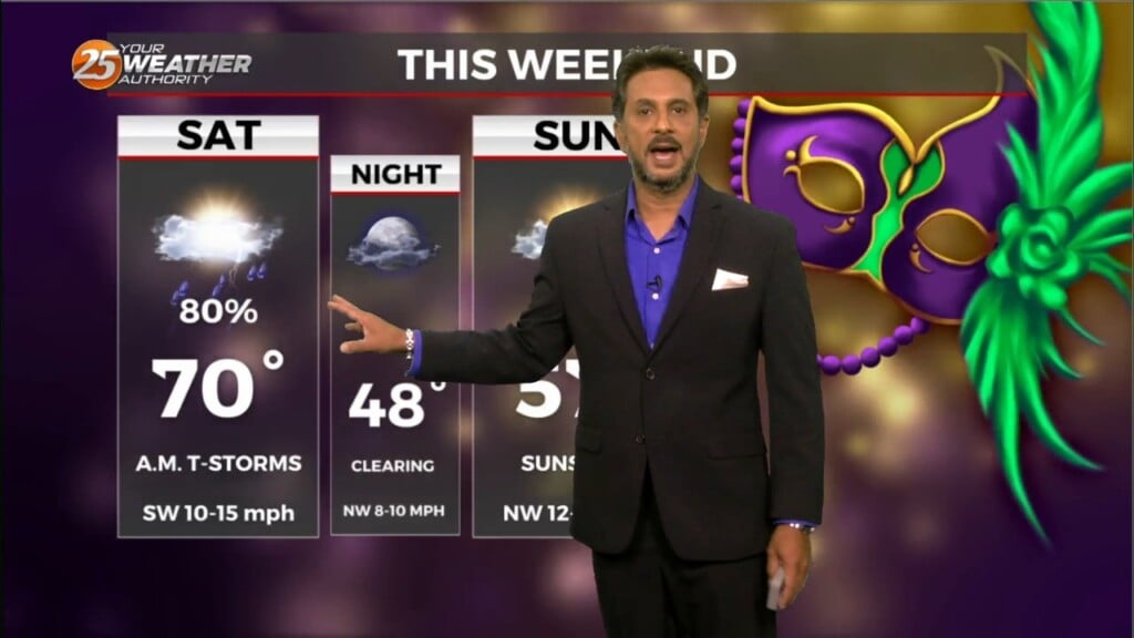
With a stalled frontal boundary overhead and moisture surge from the GOM, another round of showers/t-storms will move in around mid-morning. Moisture values will support…
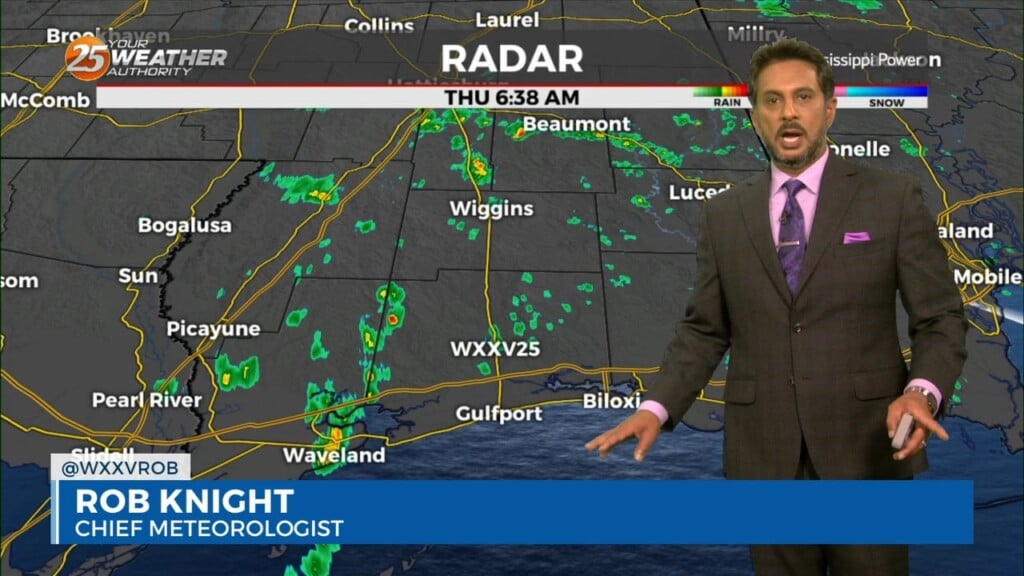
A Dense Fog Advisory is in effect until 9 AM tomorrow. Patches of dense fog will likely develop overnight but also, rain will be another concern. Shower…
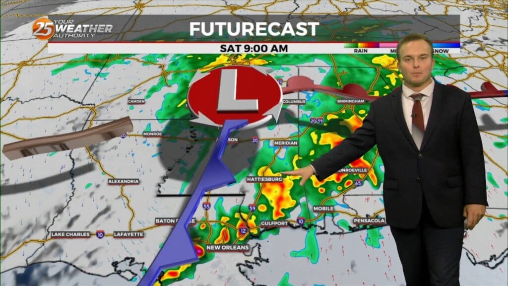
Any leftover rain will be exiting the area this evening and there will be dry time overnight. Dense fog will settle in again and a Dense…
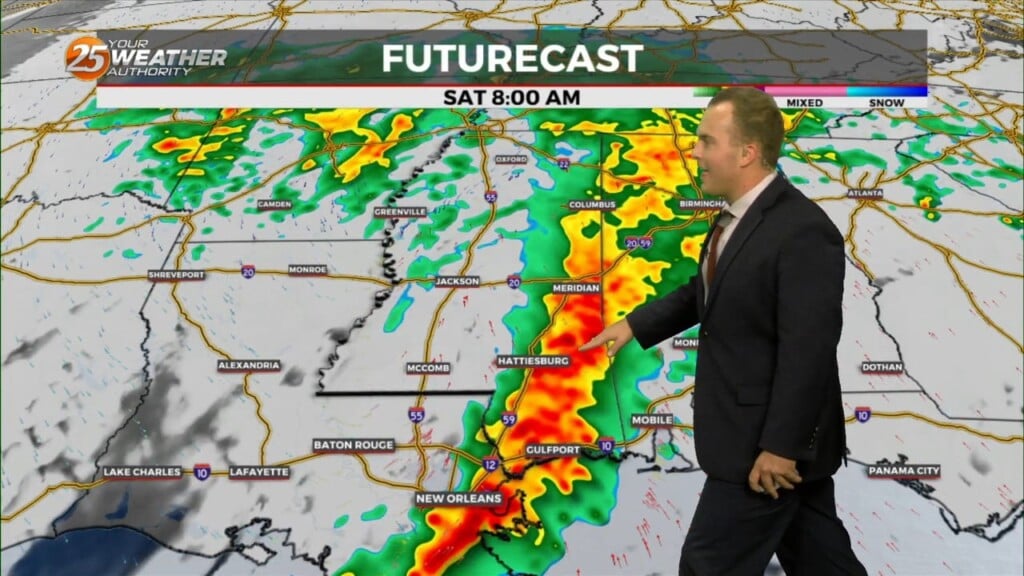
The primary concern through Saturday morning will be the threat of additional flash flooding from heavy rainfall and high rainfall rates. This concern is driven…
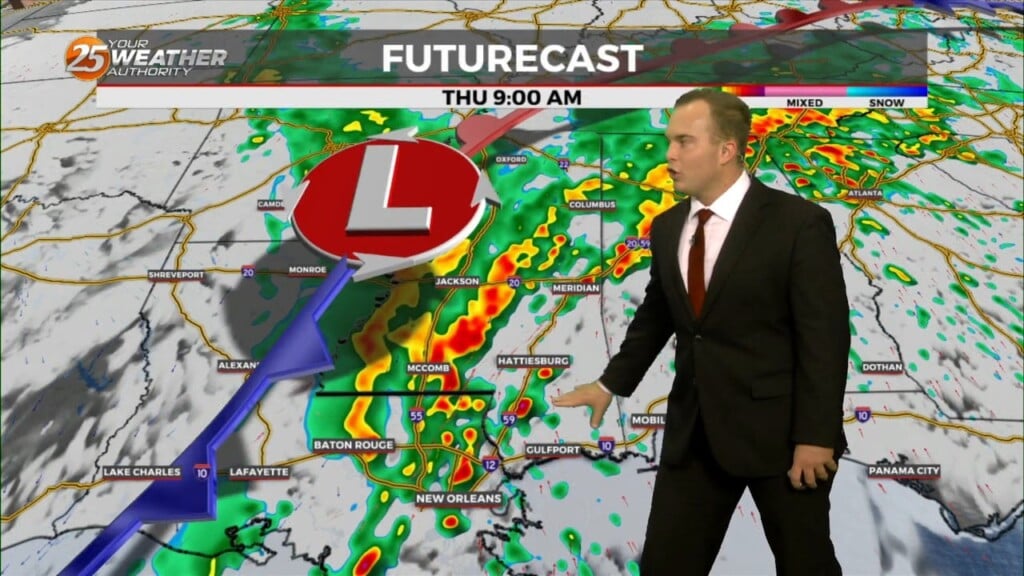
Isolated to widely scattered thunderstorms can be expected overnight. Sea fog will also create reduced visibility if you're not already finding it from rain. Coverage of rain will…
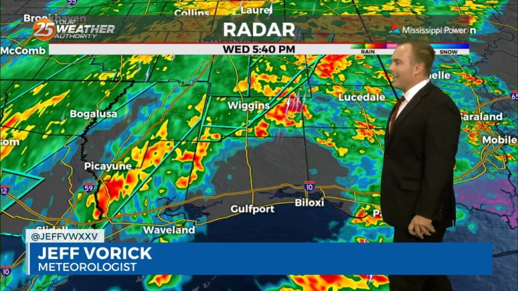
Rounds of heavy rain will very slowly come to an end tonight. Flash Flood Warnings are in effect for Pearl River County & Hancock County until…
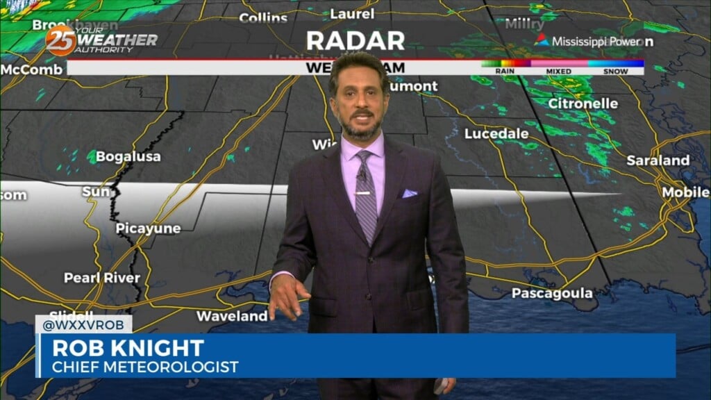
Expect a very active 24 to 48 hours in store with multiple impacts some of could bring severity to the area. Widespread moderate to heavy…
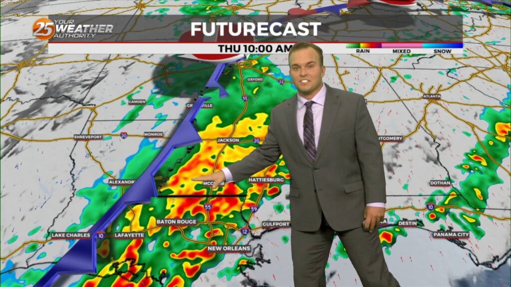
A Dense Fog Advisory is in effect for our waters due to sea fog forming. Some patches of light fog are also possible inland of the interstate but…
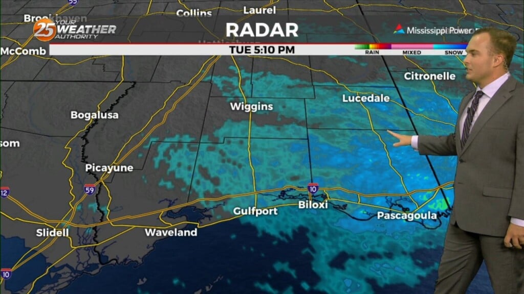
Cloudy skies and breezy conditions continue overnight as the stagnant pattern settles in for the Mississippi Coast. Expect dreary conditions tonight with passing light rain/mist and even some…
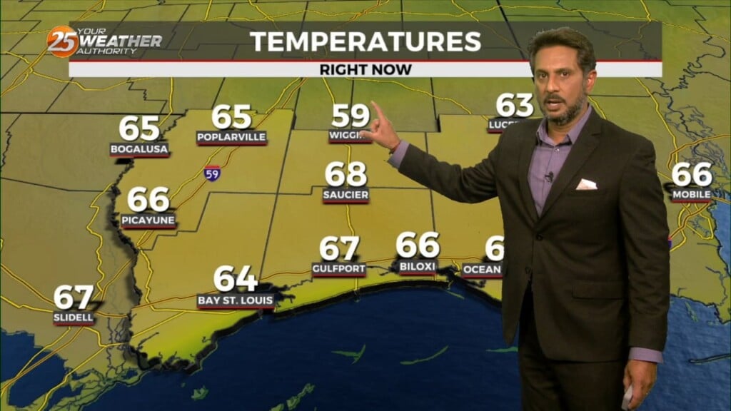
This afternoon will be rather quiet with cloud coverage and isolated rain later today and that along with some daytime warming should get…
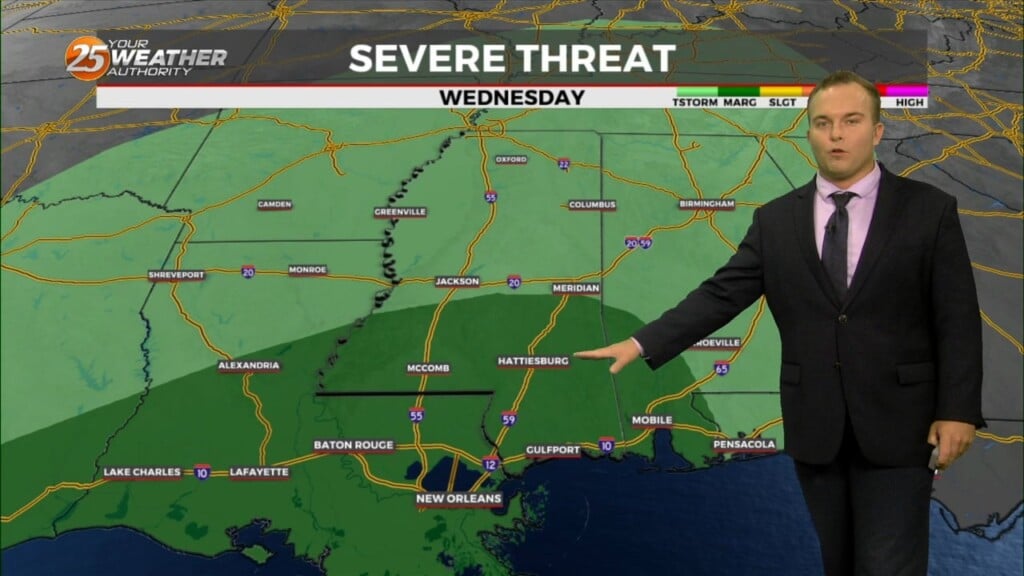
Winds turn more southeasterly tonight into tomorrow with elevated winds overnight and breezy conditions Tuesday. A 20% chance of passing light rain is possible tonight while there…
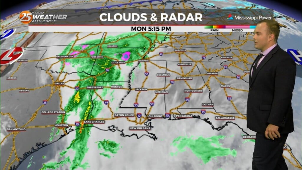
Breezy conditions subside somewhat overnight but winds will remain in place out of the east/southeast overnight. Temperatures will be mild compared to what we’ve seen in…
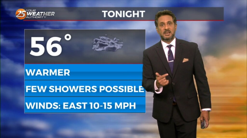
This afternoon will bring an abundant of cloud cover, and at least light precipitation. However, current indications are that rain amounts through Tuesday afternoon…
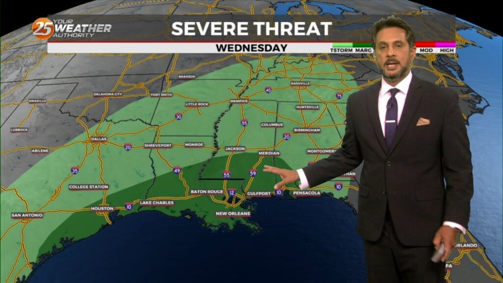
The overall pattern begins to shift with high pressure centered over eastern North Carolina, with a weakness/cold front along the lee side of the Rockies.…
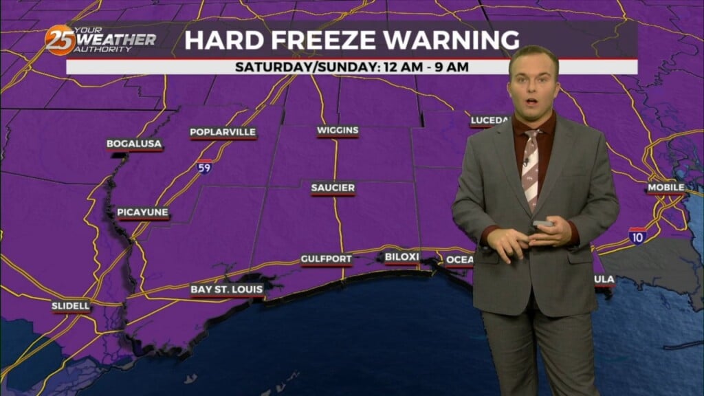
A cool and windy day turns into a frigid and windy overnight. A Hard Freeze WARNING is in effect tonight from Midnight – 9 AM, and the same…

* Freeze and Hard Freeze Conditions expected again tonight and Saturday night. Wind chill values in the single digits and teens will be likely across the…