
3/25 - The Chief's "T-Storms With SEVERE Potential" Monday Afternoon Forecast
SEVERE THREAT this afternoon/tonight, with multiple potential hazards in the first 24 hours of the forecast before the weather quiets down for a while. A…
SEVERE THREAT this afternoon/tonight, with multiple potential hazards in the first 24 hours of the forecast before the weather quiets down for a while. A…
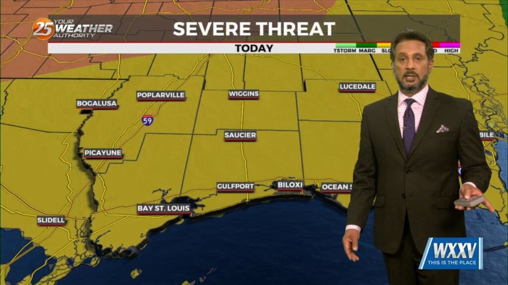
Anticipate multiple potential hazards in the first 24 hours of the forecast before the weather quiets down for a while. Low pressure over western Kansas this…
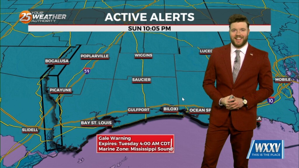
There is a severe weather risk for Louisiana and Mississippi, including the Mississippi Gulf Coast, Monday afternoon into Monday night. Conditions are…
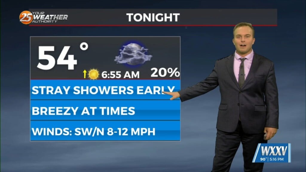
A 20-30% chance of showers cannot be ruled out tonight but any rainfall will be quick in nature. A cold front works through…
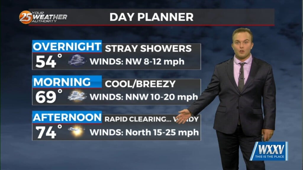
Low pressure in the region will help provide for rain chances this evening and overnight with quick-hitting showers. Saturday brings rapid clearing and gusty winds but a…

A system to the west with a warm front to the SW will continue to move E/NE and into the area this morning, crossing the local area…
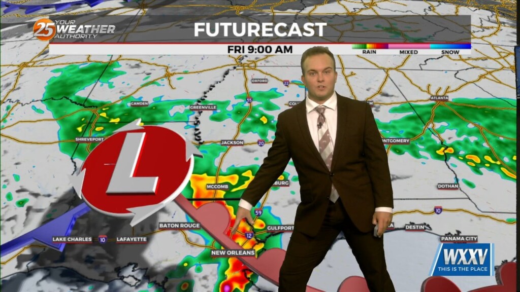
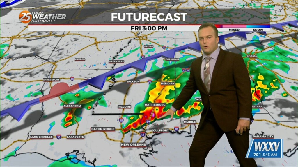
Rain-free conditions before daybreak Friday will eventually fade into the rear-view as a complex of thunderstorms works along the Northern Gulf Coast tomorrow. Heavy rain will be likely…
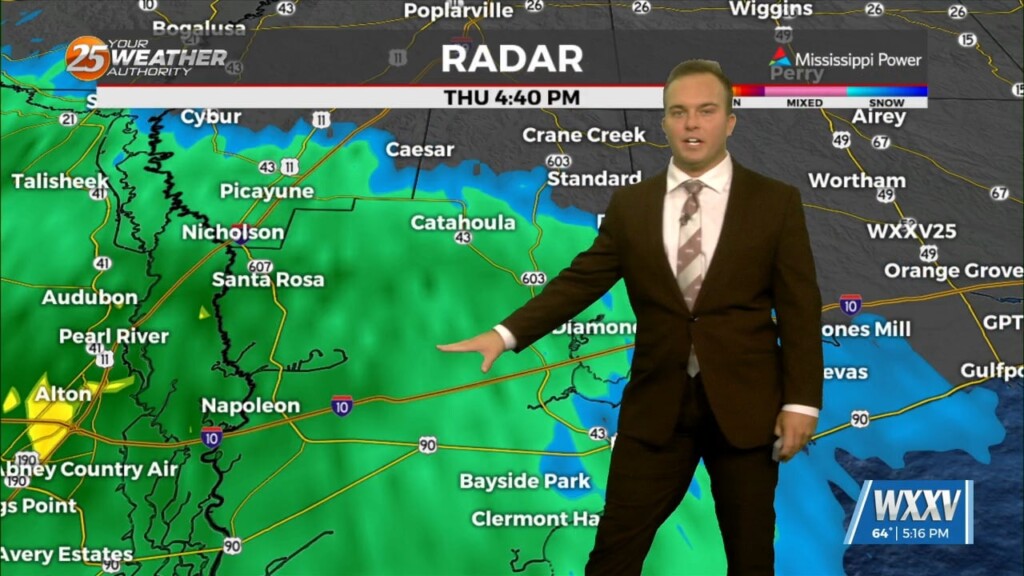
Gloomy conditions early on this evening will give way to light rain moving into the area. Do not expect thunderstorms tonight but expect nuisance rain at times.…
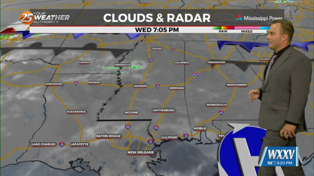
At the surface, high pressure is currently over the northeast Gulf of Mexico with low pressure over the Texas Panhandle. Clouds will continue to…
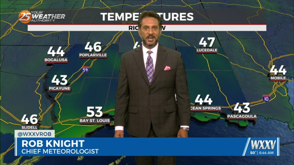
Expect temperatures to be less cold overnight thanks to more clouds working in and more humidity working in. Clouds will increase ahead of daybreak and temperatures…
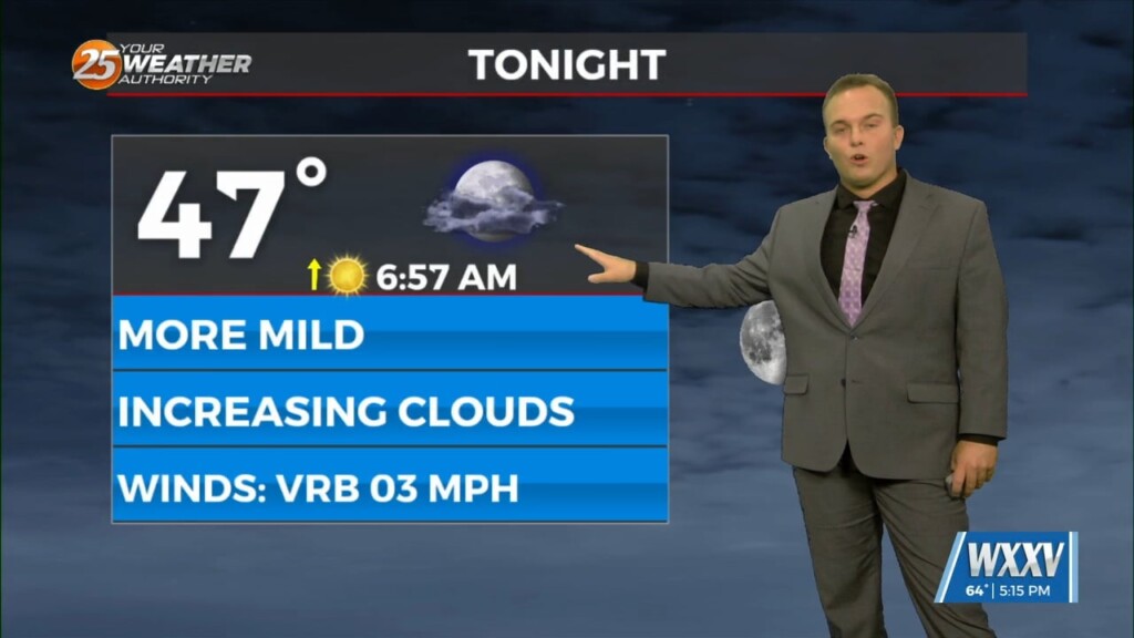
High pressure has scooted off to the east which is leading to return flow. Expect temperatures to be less cold overnight and skies to be partly…
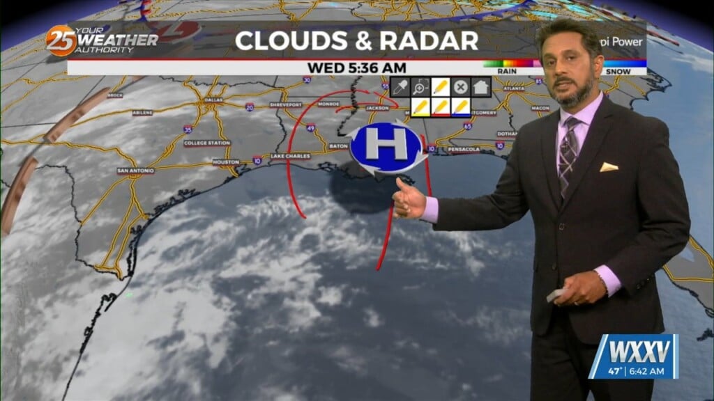
A slight amplification in the overall pattern with an area of high-pressure overhead allow for temps to moderate closer to climatological normal highs, albeit slightly…
Temperatures will be cold again for your Wednesday morning. Frost development should not be too widespread north of the interstate due to some cloud cover moving in. The…
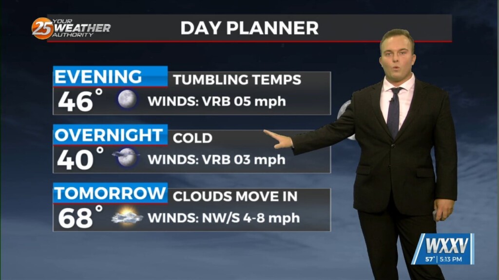
A cool evening will quickly give way to another cold night. One difference will be lighter winds which will eliminate a wind chill factor but also…
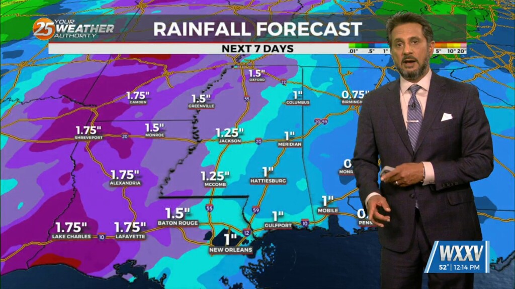
Surface high pressure in the region will lend to a cool but pretty spectacular day. Moving into the overnight period, surface high will be right along…
The upper level disturbance that brought the most recent cold front through the region is now east of the Appalachian Mountains and headed to the Atlantic…
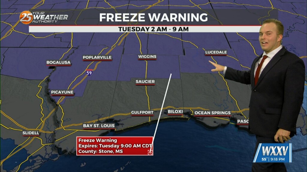
Breezy & cold conditions are here for the beginning of the week. A Freeze Warning is in effect until 9 AM Tuesday morning due to the potential for…
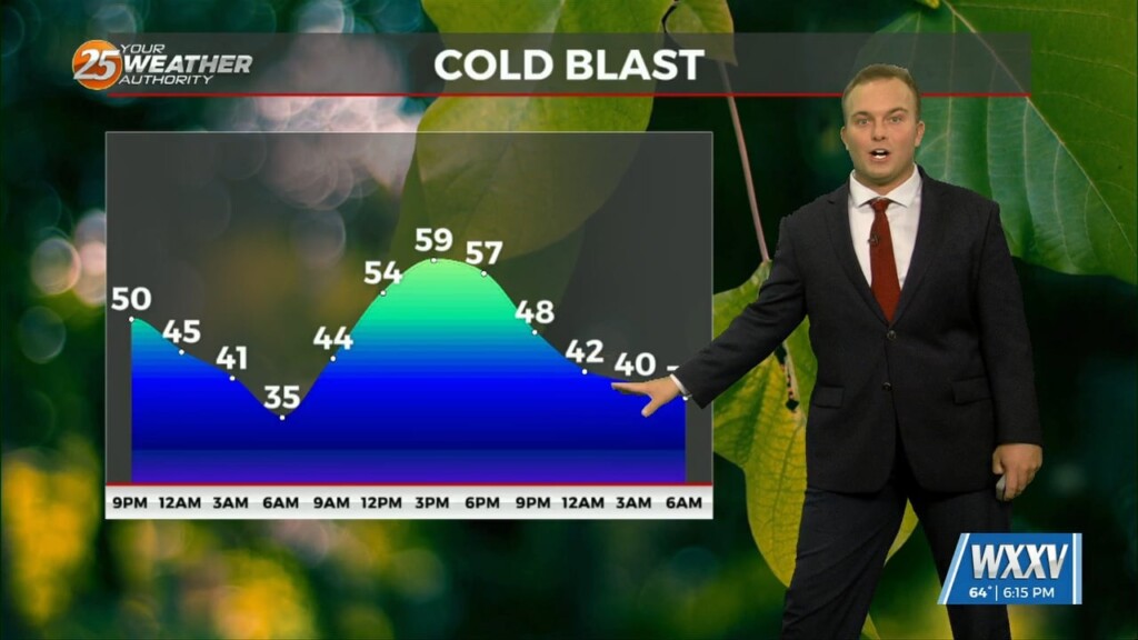
Skies have cleared out and elevated northerly winds have taken shape behind a cold front. Breezy conditions remain for some of the evening. This will be a…
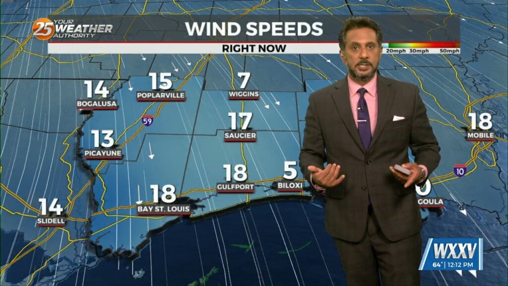
The cooler, drier air has been slow to arrive, with dew points only now starting to drop over southwest Mississippi. The local area will be under a…
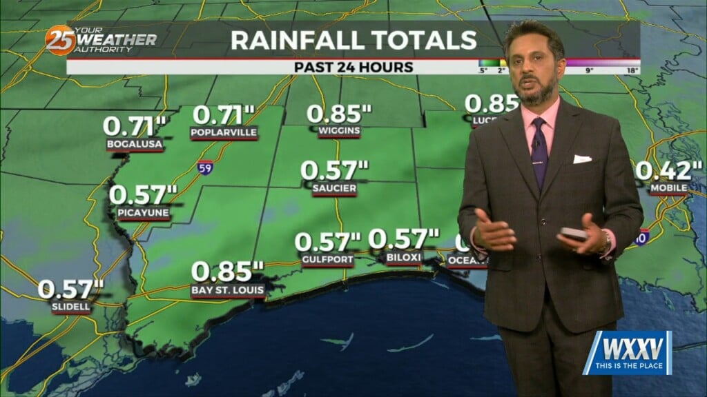
An area of low-pressure remains over Arizona, with a cold front to the SE of the area. A few sprinkles early this morning, but that’s about…
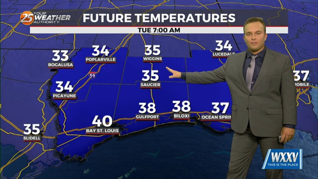
A cold front will clear the area as we usher in the new week. A cooler pattern will greet us as winter’s last gasp will be in store…
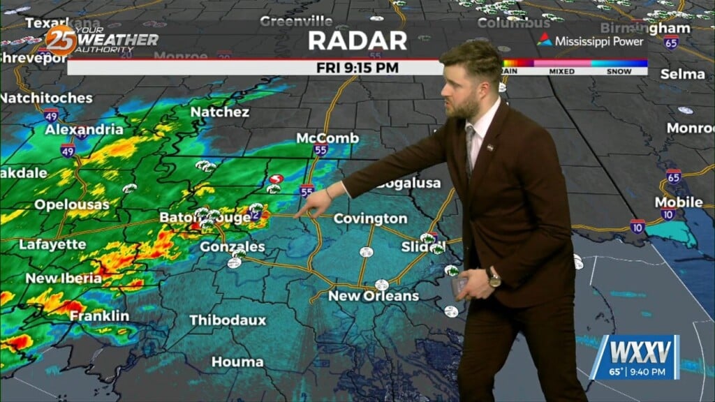
Conditions will destabilize tomorrow afternoon as highs warm back into the lower 80s and the stable layer at the surface begins to mix out. Conditions in…
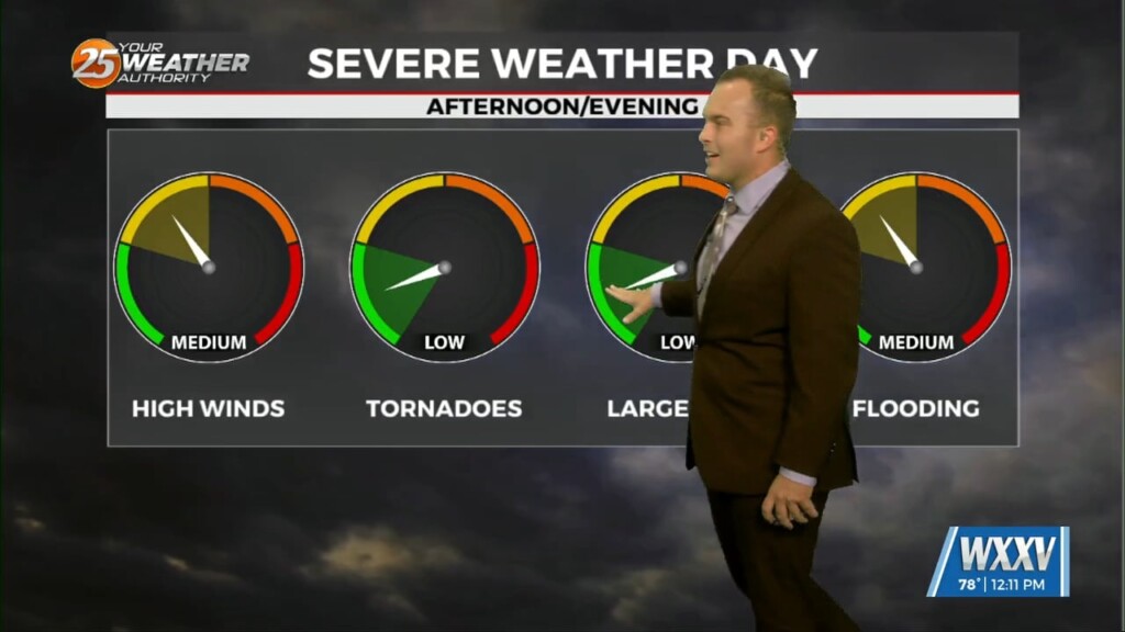
A Severe Thunderstorm WATCH is in effect until 7 PM. This means conditions are favorable for thunderstorms to produce winds in excess of 60 MPH, small hail,…
A Dense Fog Advisory is in effect until 10 AM for our whole area, and until 11 AM for marine zones. Fog will gradually lift through…