6/12 - Trey Tonnessen's "Reality Check" Thursday Evening Forecast
The old frontal boundary continues to linger near the southeast Louisiana coastline, where convection has bubbled up in the last hour or so. The Central American…
The old frontal boundary continues to linger near the southeast Louisiana coastline, where convection has bubbled up in the last hour or so. The Central American…
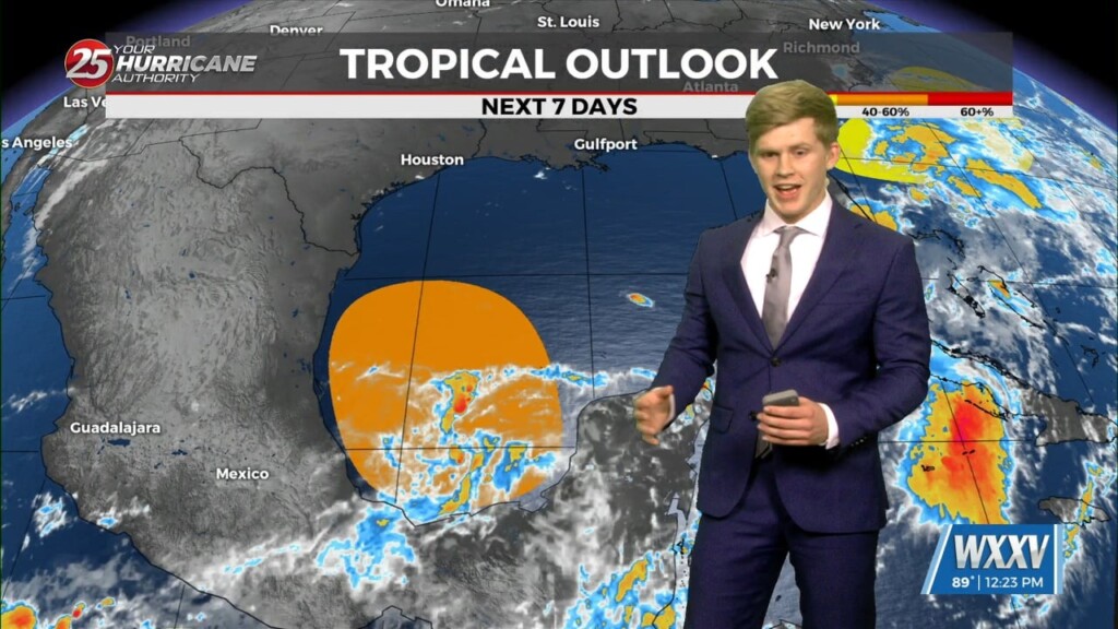
Today will bring increasing subsidence through the area as high pressure begins to expand eastward from the southern Plains. Cumulus cloud development can be expected this afternoon…
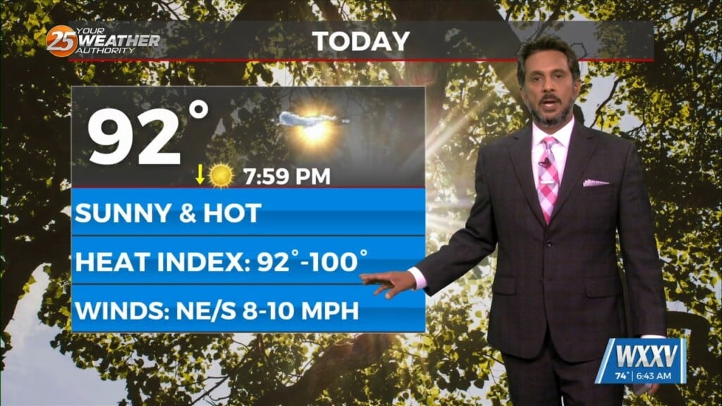
Today will bring increasing subsidence through the area.as high pressure begins to expand eastward from the southern Plains and Texas. At most, some fair weather cumulus cloud…
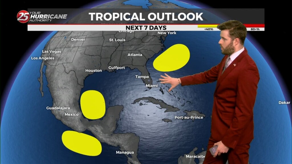
Friday and Saturday should be primarily dry and hotter than today, with much of the area in the mid and upper 90s. At this point, it…
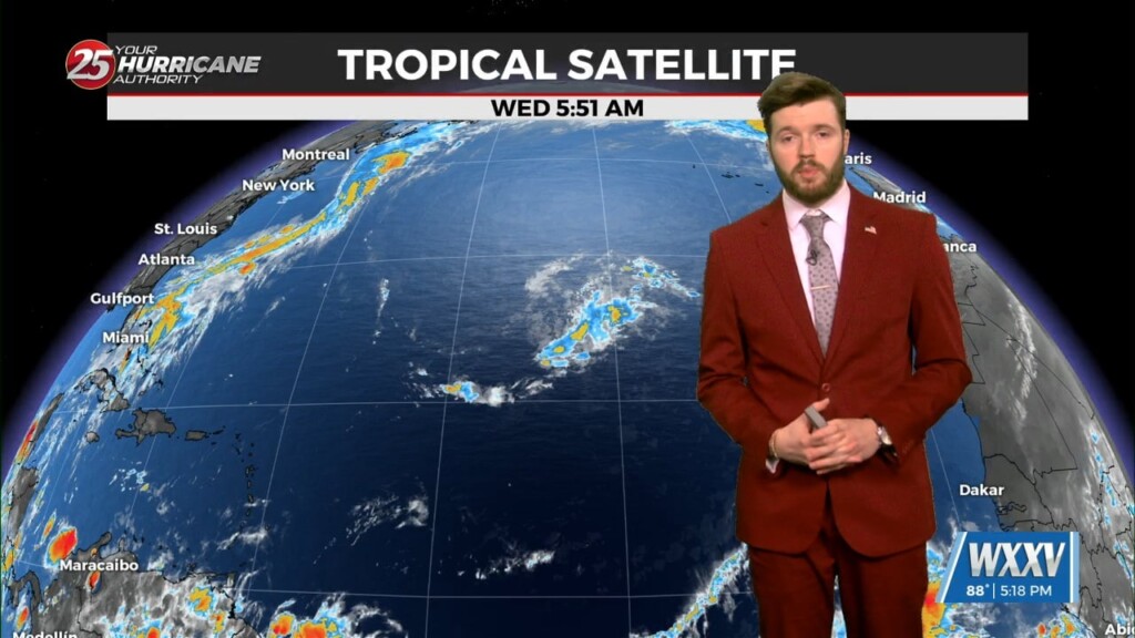
The disturbance over south Louisiana will shift offshore overnight, but it may take a good chunk of the daylight hours Thursday for dry air to get…
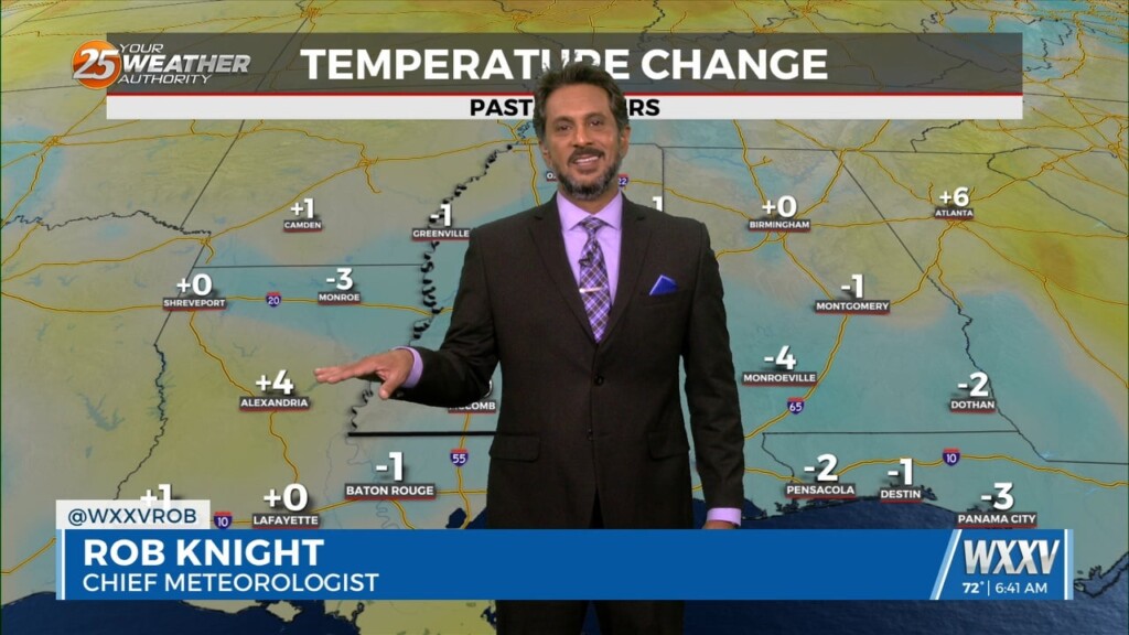
Overall the forecast as a whole is a tale of two scenarios with the first part being: high confidence, mostly dry, and HOT. The second part:…
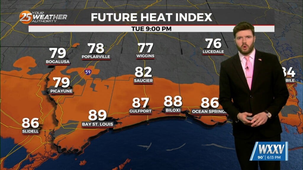
Later this week, Thursday through Saturday, rather dry air will be in place, with precipitable water values near the 10th to 25th percentile climatologically, generally…
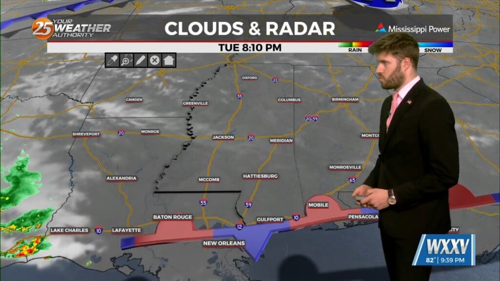
At the surface, a frontal boundary was noted south of Lake Pontchartrain, generally south of the Interstate 10 corridor. Quite a spread in moisture values either…
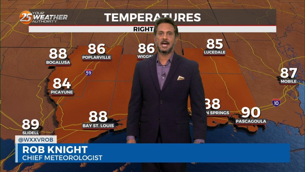
At the surface, a frontal boundary was drifting into the N’tern GOM. Dew-points are in the low/mid 60s in the area with slight cooler temperatures this…
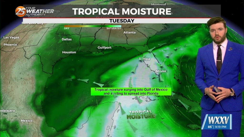
South of the Mississippi Gulf Coast, a frontal boundary remains just offshore for the end of the workweek, with the airmass gradually drying out. By the time…
Our upper trough extended from Maine to the Lower Ohio River Valley this afternoon, with upper lows over New Mexico and off the California coast. At…
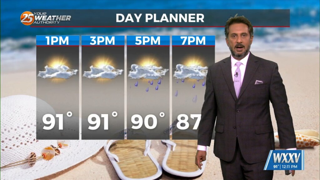
A weak stationary front overhead will slowly drift south with energy moving into the area this evening. Coupled with daytime heating…isolated t-storms will pop mid-afternoon into…
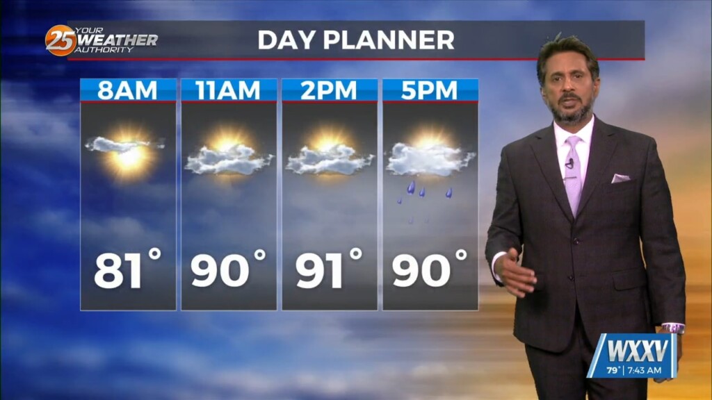
The first 24 to 36 hours of the forecast are somewhat uncertain. Currently we have widely scattered showers that have been developing off the coast along…
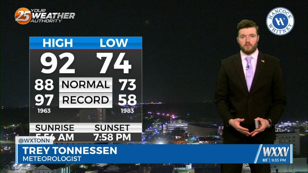
A digging trough across the southern United States, with a trailing shortwave at the base of it will erode the ridging overhead and assist in pushing…
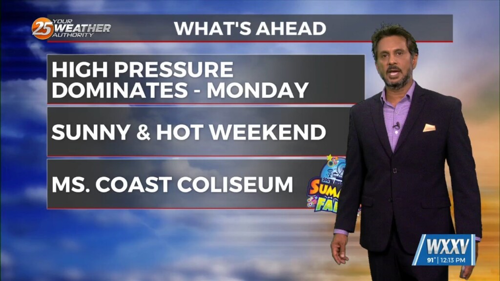
A drier air mass will continue throughout the column bringing rain chances close to zero. As high pressure moves into the region to shape the forecast…
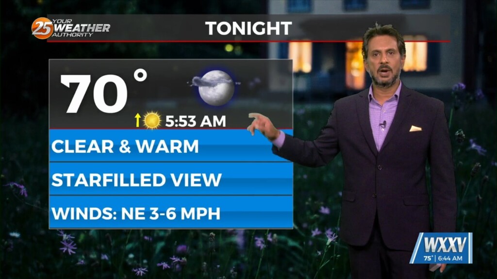
The very weak front has finally settled and now stalled in the outer-coastal waters. The drying throughout the column has been achieved bringing rain chances close to…
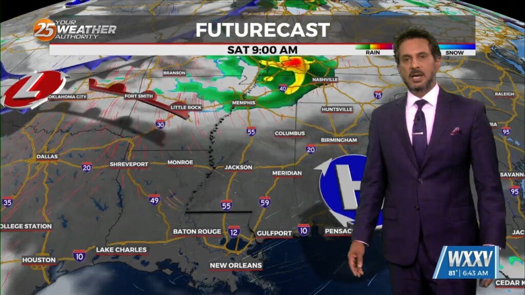
Upper ridging expands eastward across the Gulf of Mexico briefly over the weekend. This will keep any significant precipitation away from the area and high temperatures…
We should lose the cirrus almost entirely this evening. Cannot entirely rule out some mid level cloud cover Friday afternoon with a very weak shortwave currently…
The front that has been talked about is arriving this morning. This is more of a weakness at the surface than a front, but there is some…
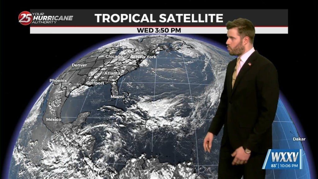
Warmer and generally drier conditions expected as we end this week and head into the weekend. As the shortwave ejects east, upper level ridge centered over…
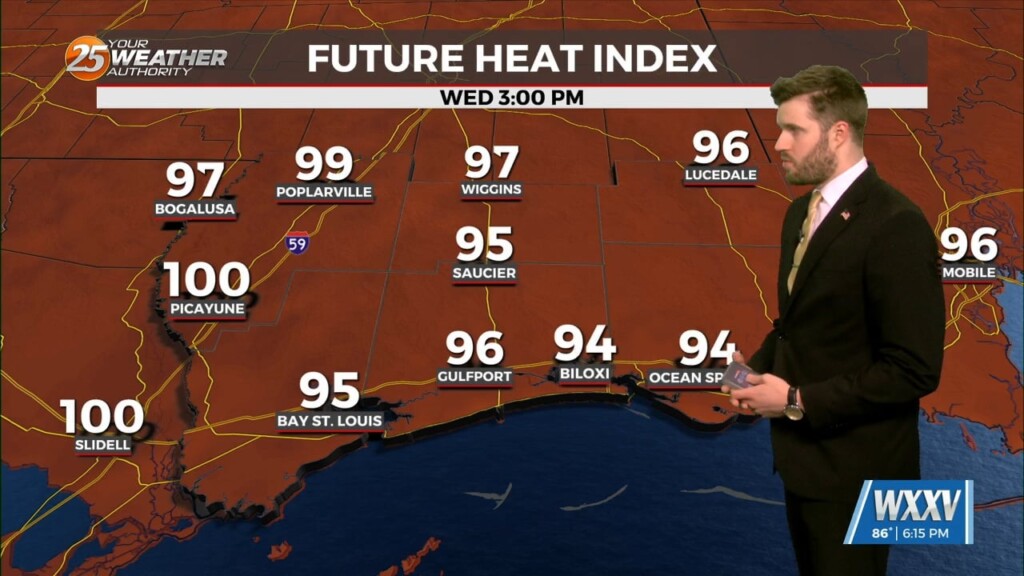
A shortwave trough is currently moving through the lower Mississippi River Valley and will continue to track across the southeastern United States. An outflow dominated complex…
A cold front has a surface low-pressure system in Manitoba this morning with a front from there through Wisconsin to Missouri to around the…
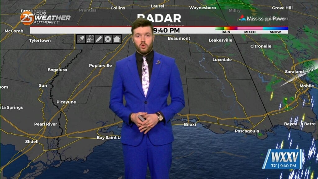
Drier mid-level air looks to filter into the area Friday, decreasing rain chances while keeping the boundary somewhere in the area. Scattered showers and storms are…
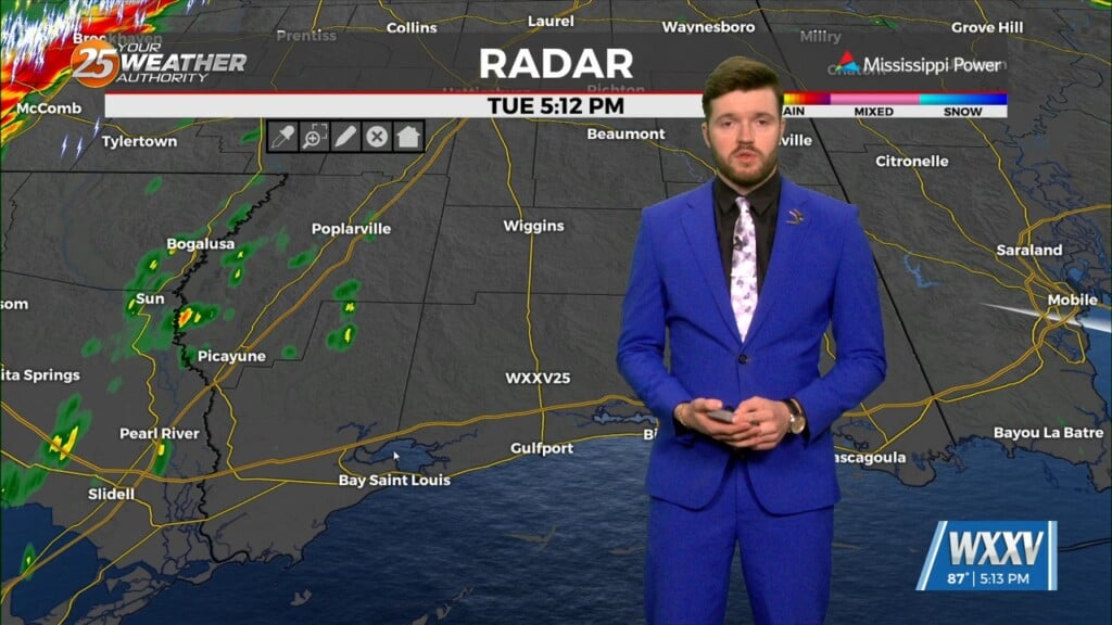
Troughing will be exiting the area to the east by Thursday morning, leaving a remnant boundary behind. The most likely area for the boundary seems…