Breezy and cooler Wednesday
Clouds increase overnight with lows in the middle to upper 30s.
Clouds increase overnight with lows in the middle to upper 30s.
A slight chance for rain overnight with clouds decreasing by Tuesday.
Areas of patchy fog and mist overnight with scattered showers and storms. Lows will be in the upper 50s.
Clouds increasing overnight with skies becoming cloudy. Lows will be in the middle to upper 40s with east winds at 5 to 10 mph.
Mostly clear overnight with lows in the upper 20s inland and lower to middle 30s along the coast.
A Hard Freeze Warning is in effect until 9 a.m. Wednesday. Freezing temperatures will be possible for a period as long as 14 to 16 hours.
A Wind Chill Advisory is in effect until 9 a.m. Tuesday with wind chill temperatures expected to be in the lower teens for an 8 to 12 hour period. A Hard Freeze Warning is in effect until Tuesday a.m. with freezing temperatures expected for a 15 to 20 hour period.
Overnight lows drop into the middle to upper 20s, but north winds at 15 to 20 mph will put wind chill temperatures in the middle to upper teens.
Mostly cloudy overnight with rain likely and lows in the upper 30s to lower 40s.
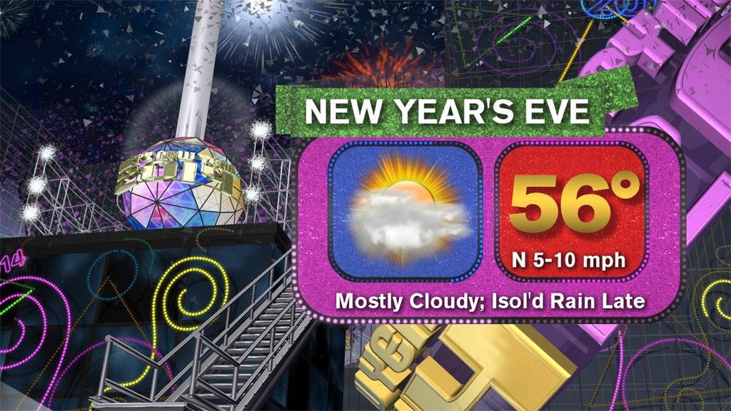
Cloudy skies overnight, with lows in the upper 30s to lower 40s, with a slight chance for isolated rain.
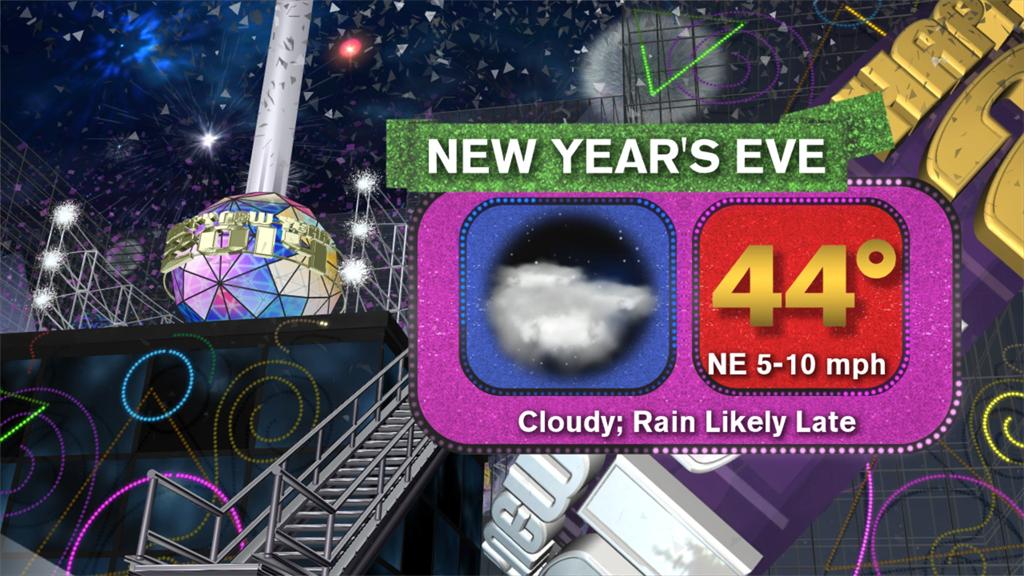
Mostly cloudy overnight, with rain returning late.
Mostly cloudy skies overnight, with a north wind at 5 to 10 mph and lows in the middle 30s inland and upper 30s to lower 40s along the coast.