07/01 - Steve's Holiday Weekend Forecast
Looking at the forecast for Independence Day 2016!
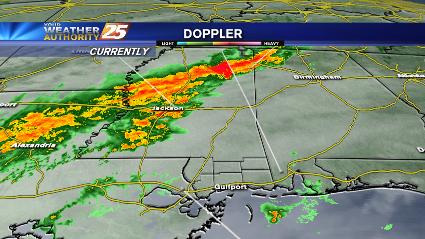
Looking at the forecast for Independence Day 2016!
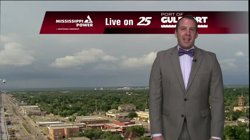
Another day, another afternoon of summer storm activity. Skies were pretty clear most of the day, but just like the last few evenings we're seeing the development of some isolated, slow moving thunderstorms. Not much is expected out of these…
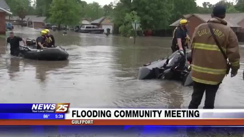
If you were affected by devastating floods on April 28th, Gulfport leaders want to hear from you. A meeting is slated at the Good Deeds Community Center where residents can voice their concerns so the city can better prepare in…
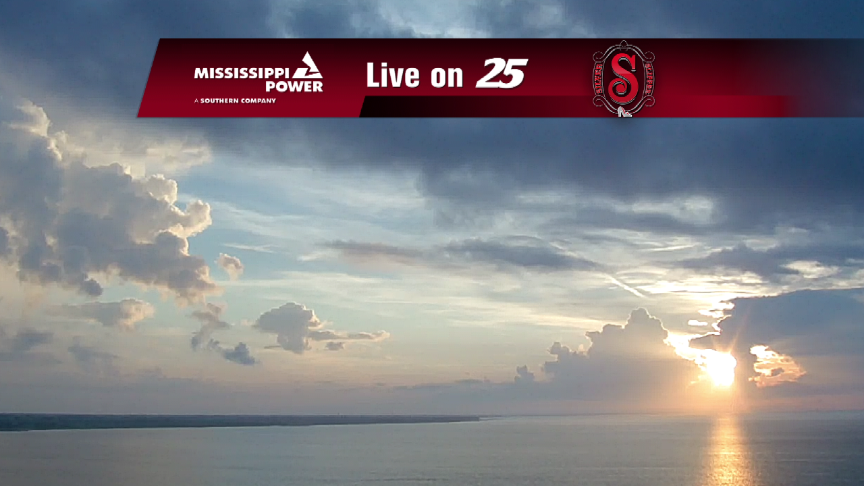
How's the forecast for the holiday weekend? We've got it here!
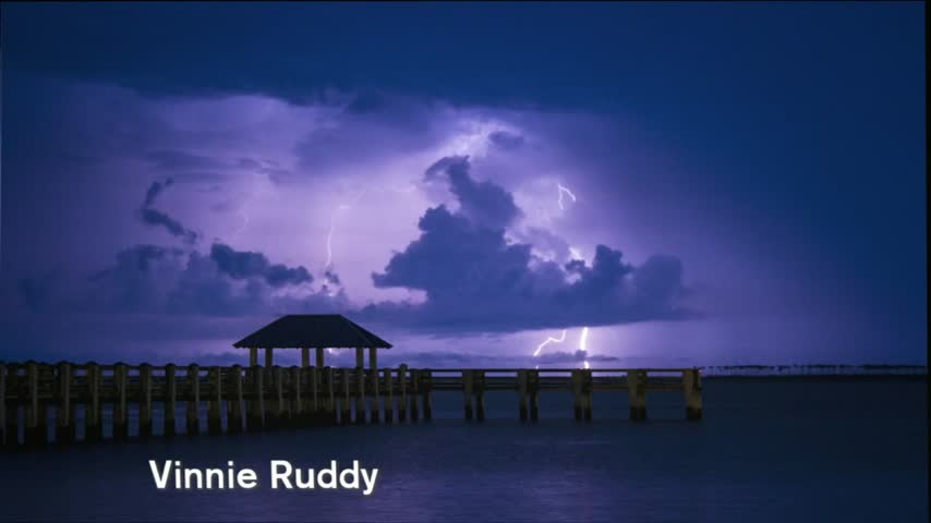
It's been another interesting day in South Mississippi weather-wise, but Wednesday night seems to be calming down a bit. Like yesterday, we saw storms begin to pop up in the Northern coastal counties in the late afternoon, but by the…
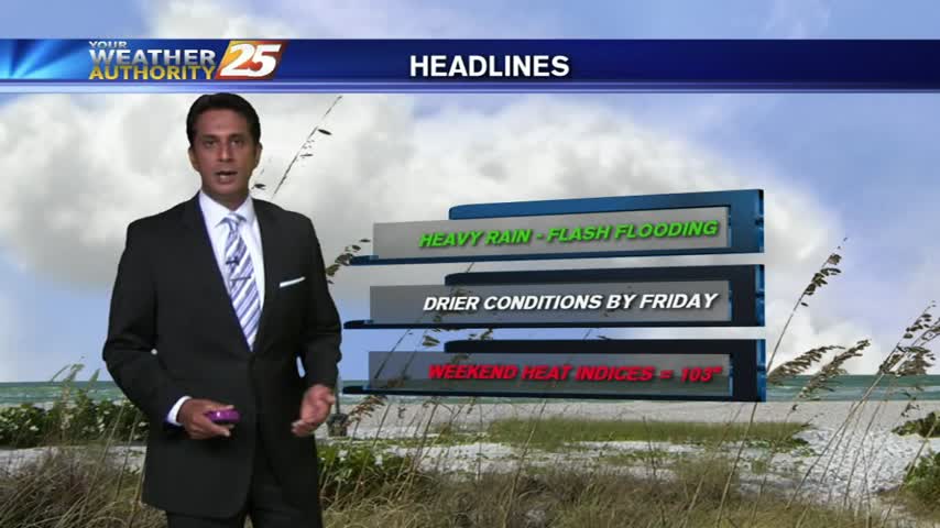
The tropical air mass continues...this morning the activity in over the sound, moving north towards the coastline...
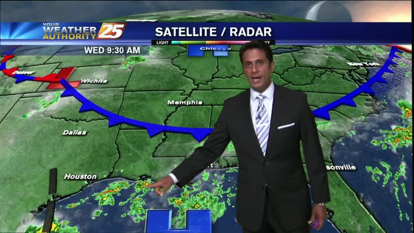
With a few breaks in the clouds, warming temps will begin building t-storms capable of producing heavy rain...
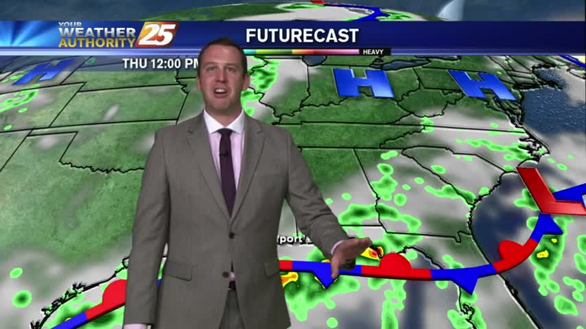
Earlier in the evening we were seeing some fairly strong t-storms moving through the area, but near the end of the evening we were left with broad areas of light showers. The rain will leave us with a cooler low…
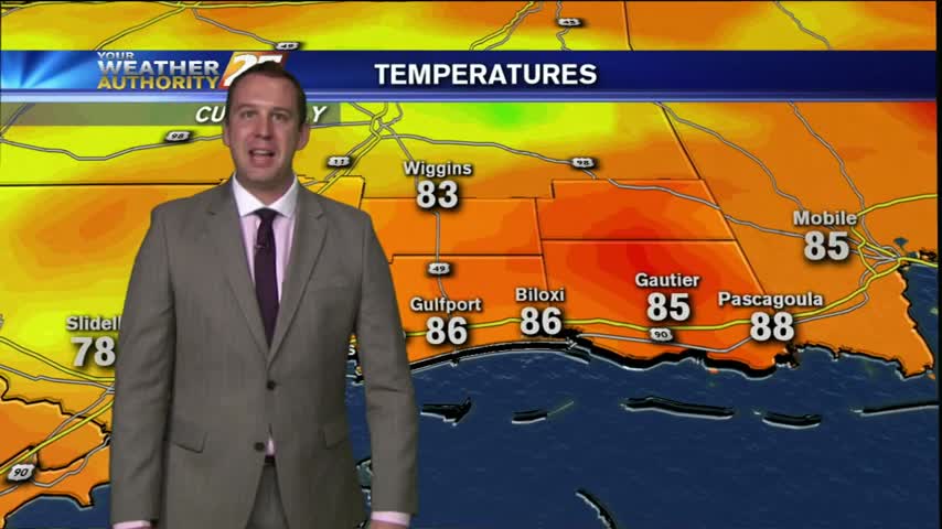
It was a rather dreary day for much of Tuesday morning, but once things began to heat up in the afternoon, we saw an increase in showers and t-storms across the area. These storms are still slowly pushing South-Southwest, so…
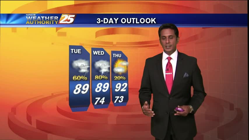
The heavy rain from this morning has tapered-off...but another round of t-storms expected this afternoon/evening...
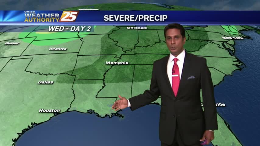
Showers and t-storms over the coastal counties and the sound pushing south with elevated rain potential for today...
Today was interesting in terms of weather, as storms started popping up last night and lasted late into the morning. At that point, the sky began clearing and the sun came out, leading to sunny and humid day with a…
It's been a pretty damp Monday so far today. Thunderstorms started as early as last night and continued into early this morning. There were still some sprinkles hanging around as late as 10:30 AM, but the skies cleared and the…
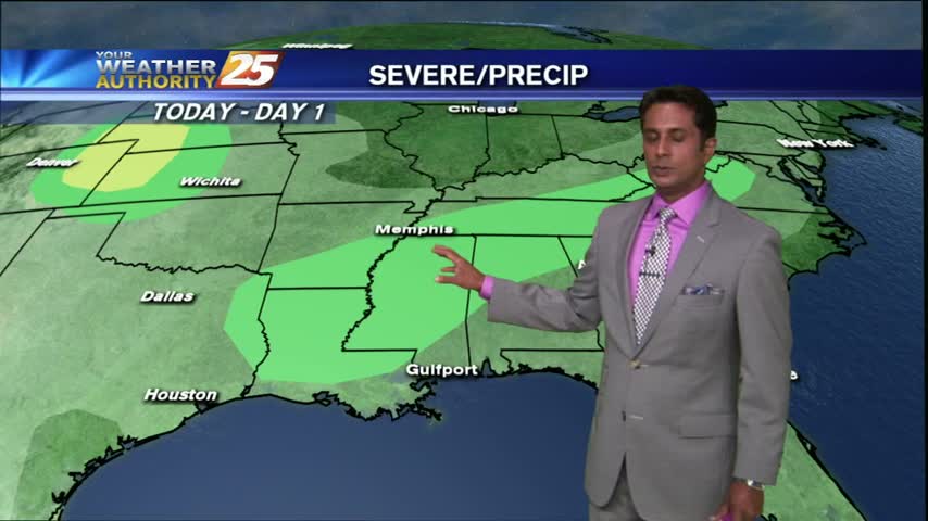
After a WET morning with showers/t-storms moving across the area, the activity has decreased but will continue...

It's a WET start as t-storms moving in from the NE continues to develop/linger along south Mississippi...
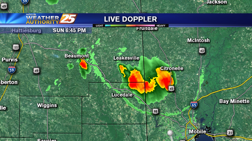
Rain is back in the forecast with heat sticking around through this upcoming week. Meteorologist Steve Taylor has your forecast!
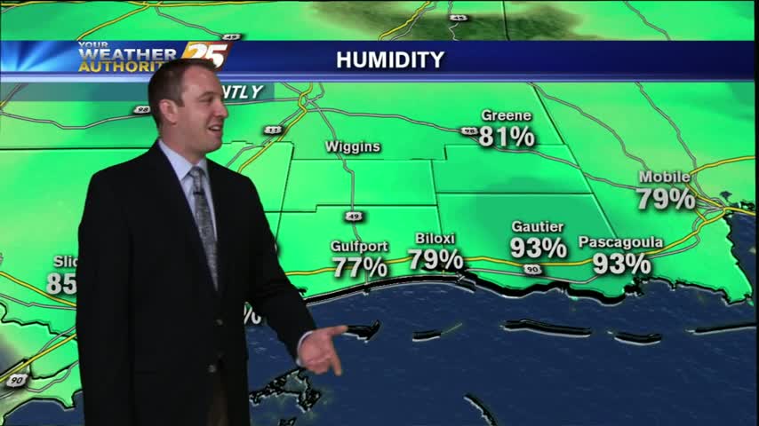
It was slightly hotter today than it was the day before, and likewise tonight will be slightly hotter as well. The last week has seen some very similar weather, but changes are right around the corner. We'll still be able…
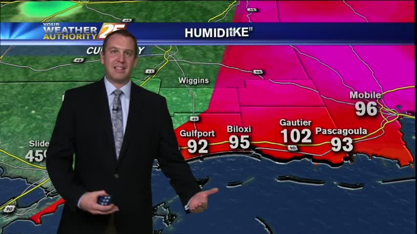
Just like expected it's a slightly hotter Friday afternoon, than we've seen over the last few days. We'll continue to see slowly increasing temps over the next few days, but rain and clouds won't be an issue until we head…
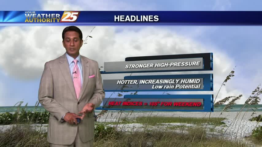
Another fairly pleasant start as a NW wind brings drier and slightly cooler conditions to the area...
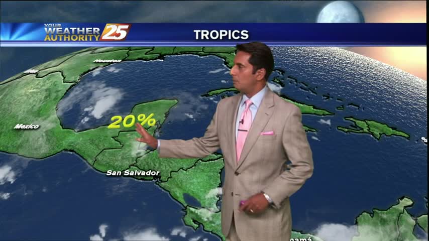
HOT conditions continue as moisture flow from the sound moving in, has developed a low-deck of clouds...

A NW wind continues to bring drier air to the local area, but the mercury continues to climb...
A VERY PLEASANT morning as a NW wind brings cooler/drier air into the local area...
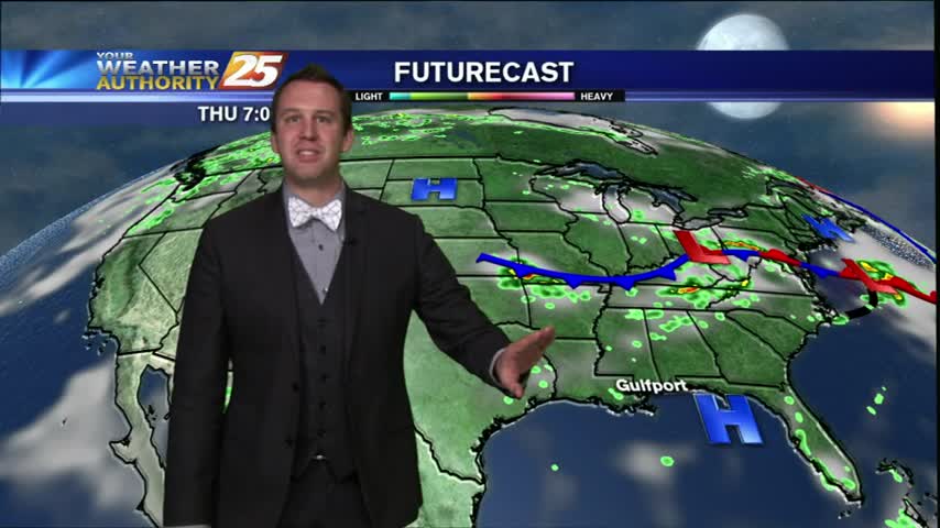
It was a hot and beautiful Wednesday day and is now becoming a cooler and calm Wednesday Night. I expect our low tonight to "bottom out" near 72 just before Sunrise, but we'll see a quick return of the heat…
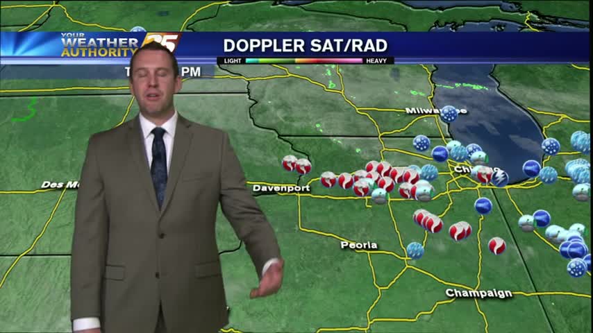
We've had some very similar days recently and so far Thursday is no different. We've got a few hours of sunshine left, but I don't expect us to heat up much more. We'll have a mostly clear night with a…