9/22 - Brittany's "Officially Fall" Thursday Night Forecast
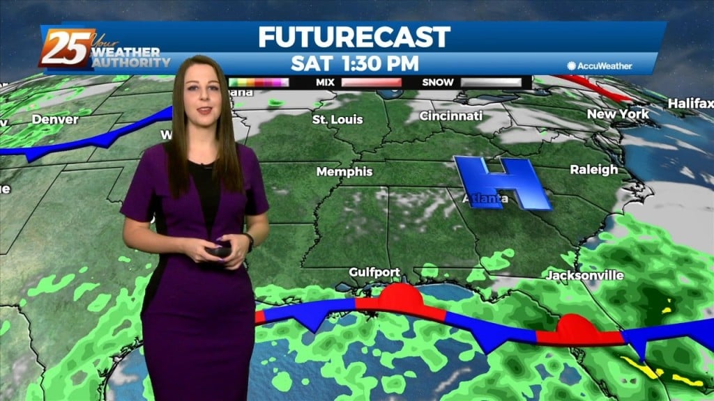
High pressure will hold on one more day on Saturday, with high temperatures pretty similar to Friday. Another disturbance will move across much of the eastern half of…
High pressure will hold on one more day on Saturday, with high temperatures pretty similar to Friday. Another disturbance will move across much of the eastern half of…
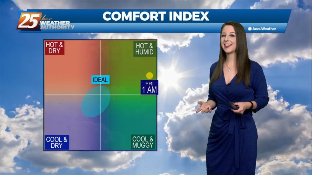
ENTER AUTUMN After another HOT day, subtle changes will over overnight into Friday morning. Expect clear skies and mild temperatures overnight as guidance has…

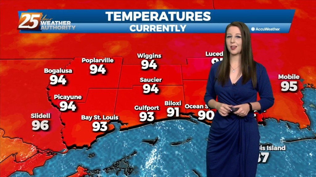
VERY HOT temperatures ahead this afternoon as a few locations will either tie or break a record high temp. High pressure will hold on one more…
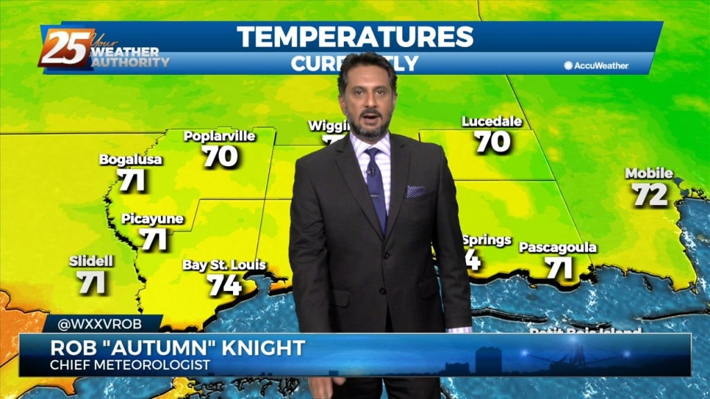
High pressure has actually drifted a little further west than expected, and is now centered over west Texas northward into the Dakotas. This pattern will…
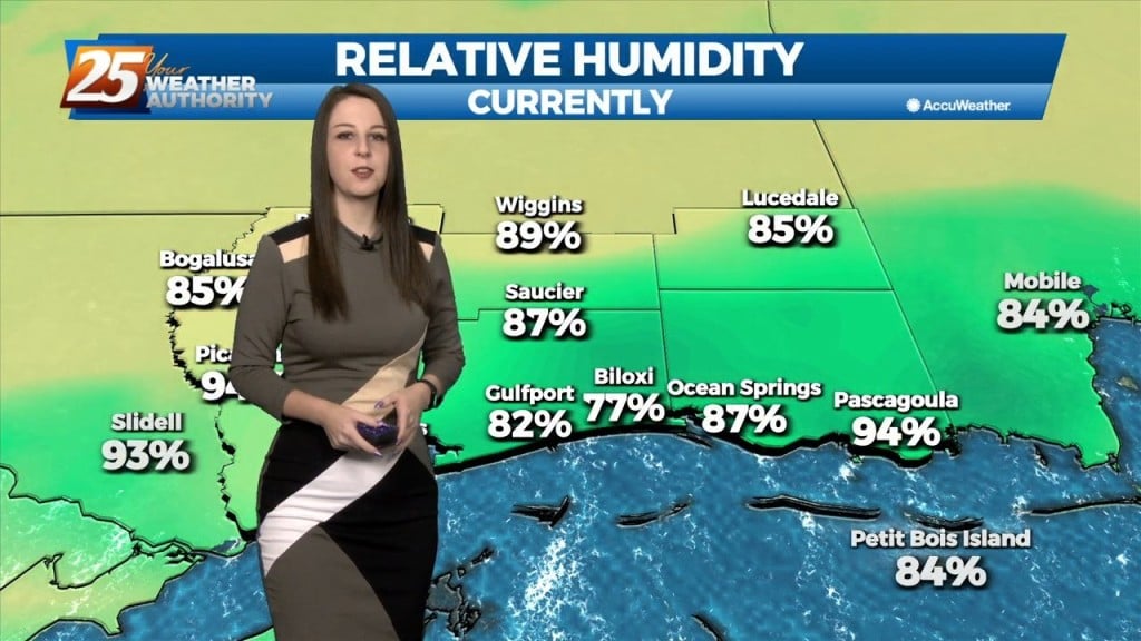
Tomorrow is expected to be the hottest day of the week, even reaching near or at record in some areas, with temperatures forecast in the mid to…
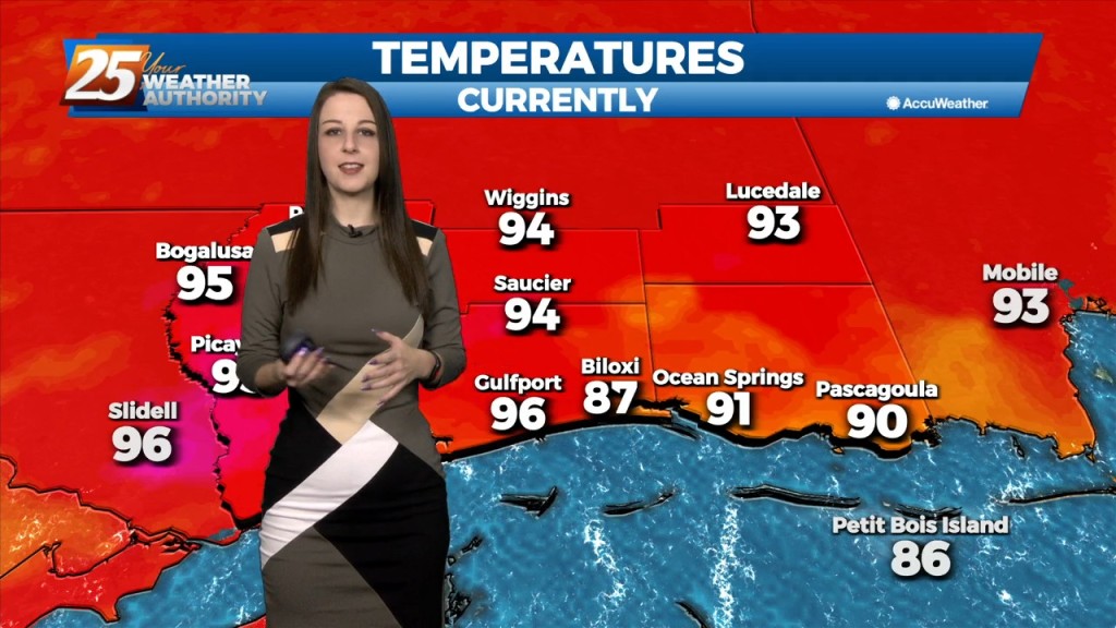
We will remain in a high pressure and ridging pattern through the period. This has been keeping conditions hot and dry the last couple days and this will continue…

Dry conditions will continue trough the rest of the workweek thanks to the high pressure to the NE. Consequently, temperatures will be fairly warm for…
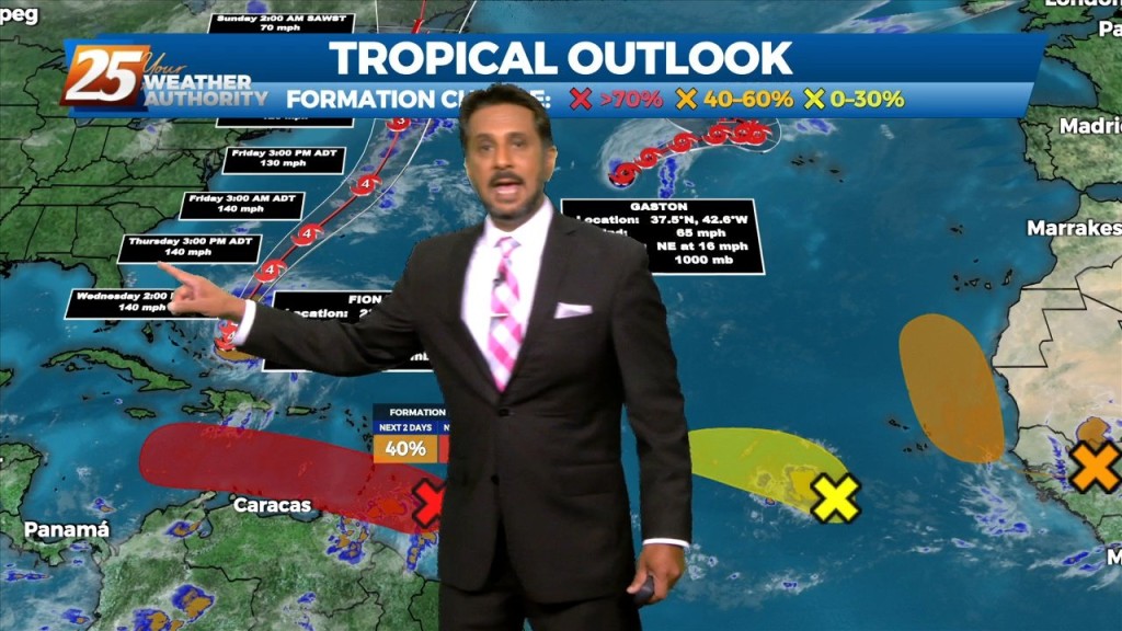
Northerly surface winds will help advect drier and more stable air into the area. Looking at the models, conditions will be dry over the next few days…

Expect sunny and hot conditions this afternoon as summer is determined to hold on until the very last minute... A strong mid-level high pressure situated…
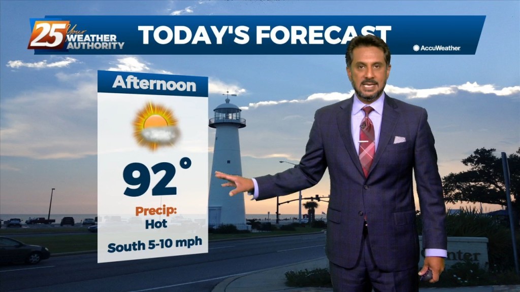
The forecast continues to be dictated by a strong mid-level high pressure situated over the south-central CONUS that is providing drier and warmer mid-level air to…
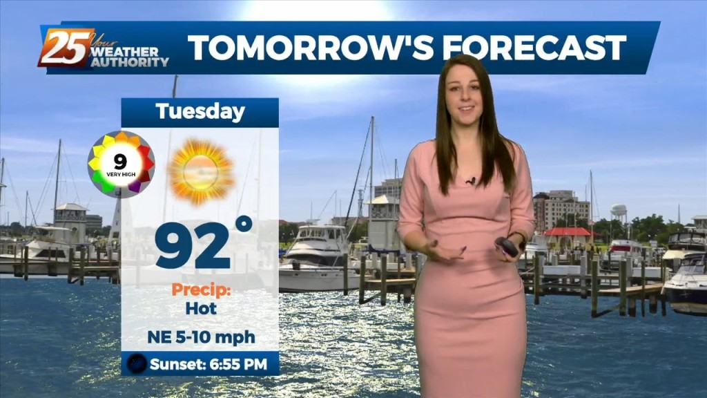
This evening will be quiet and cool with lows averaging in the low 70's. The rain free conditions will continue. The heat continues to build mid-week through late week,…
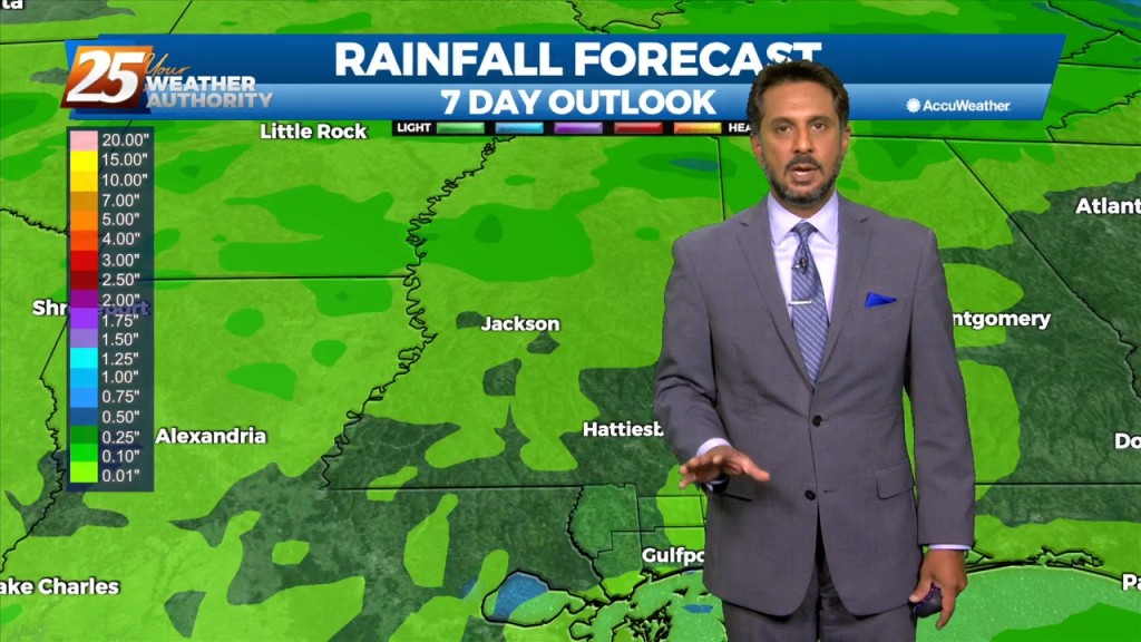
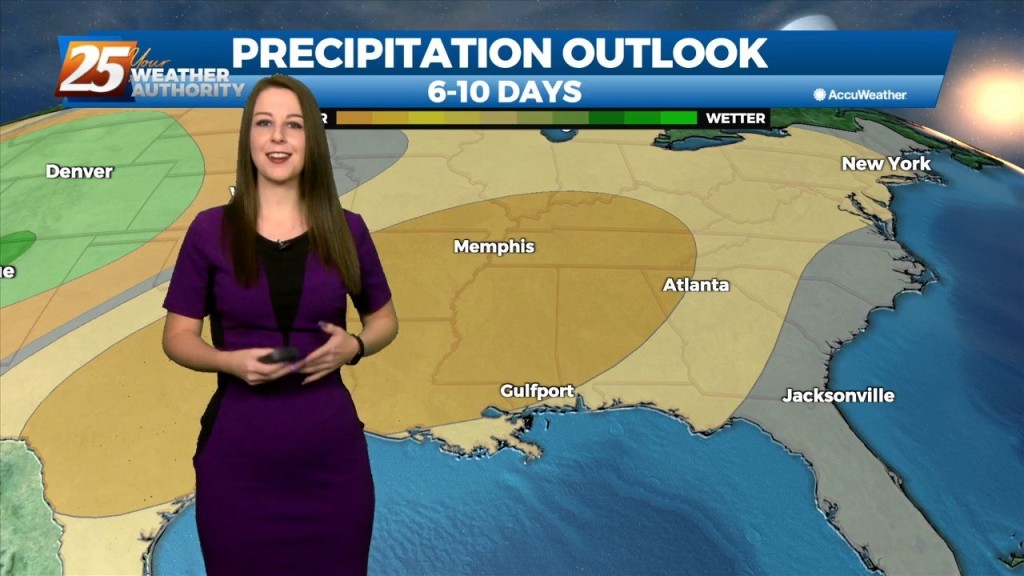
High pressure will expand across the southern US early in the week and should be centered across TX. An upper level weakness looks to clip…
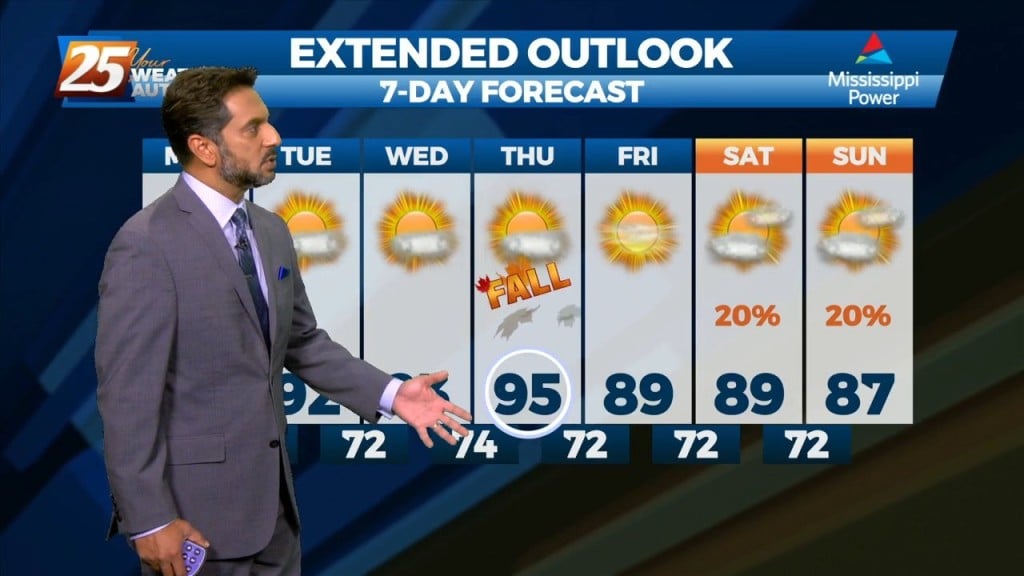
For this first couple days of this forecast period, the upper level high pressure will dominate the forecast. After expanding across the southern US early in the…
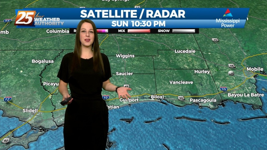
Tomorrow will likely be drier. The ridge will continue to build over both the southern Plains and Lower MS Valley likely stretching east across most of the southeastern CONUS.…
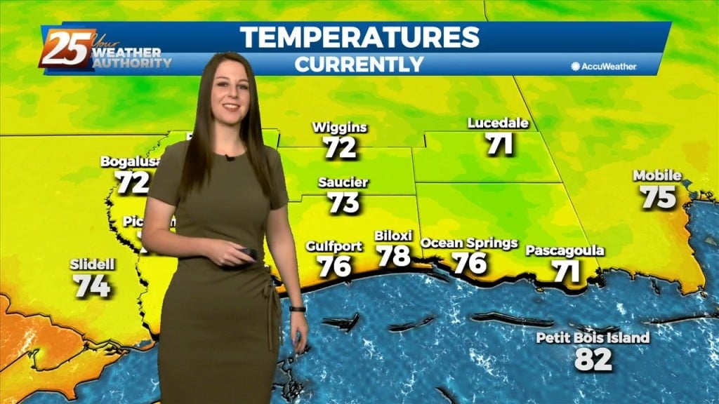
Tomorrow is looking nice to start yet again with some low-level clouds around. Main focus will be the continued return of low-level moisture drifting north adding to that…
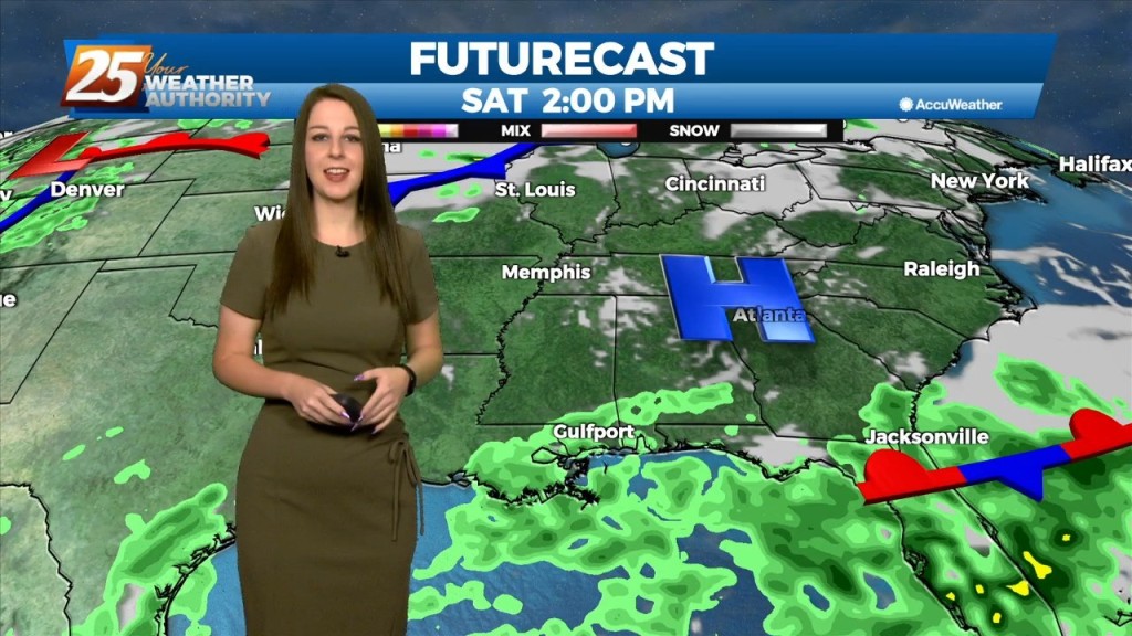
Saturday is looking nice to start yet again with some low-level clouds around. Main focus will be the continued return of low-level moisture drifting north adding to that old…
High pressure has weakened a bit over the last 24 hours with the flow becoming more zonal across the middle of the country. Shortwaves were noted along…
Going into Friday, the surface high steadily builds east into New England, as we begin to see less in the way of influence over the region. We in turn…
Another pleasant day in the books this afternoon with ample blue skies and warm, yet rather comfortable temperatures. Taking a brief overview of the regional synopsis shows…
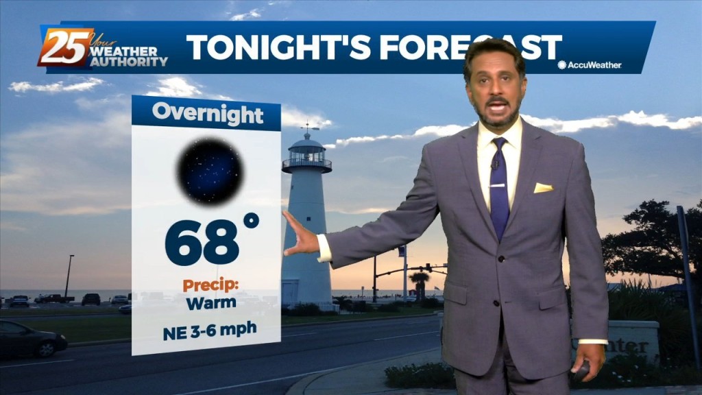
High pressure at the surface covers roughly the eastern half of the country, with low pressure and an associated front from the Dakotas into Colorado. The…
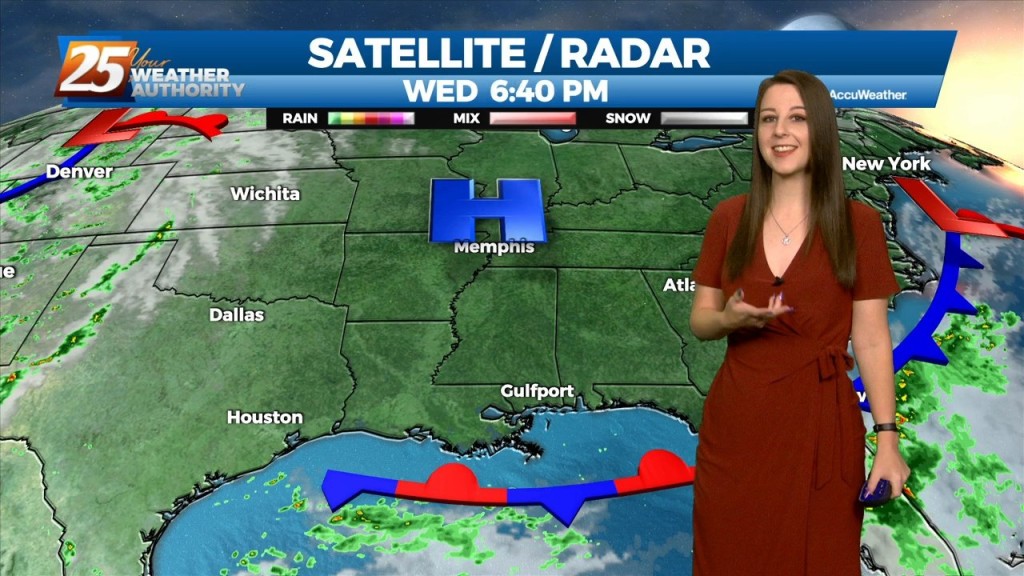
We can expect the quiet and calm conditions to continue, courtesy of high pressure to our north. Tonight and tomorrow night`s low temperatures will be below normal for most…
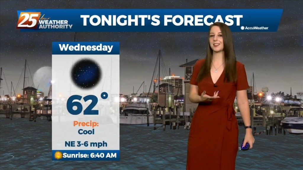
High pressure at the surface and aloft will keep things quiet in the short term. Tonight and tomorrow night`s low temperatures will be below normal for most…
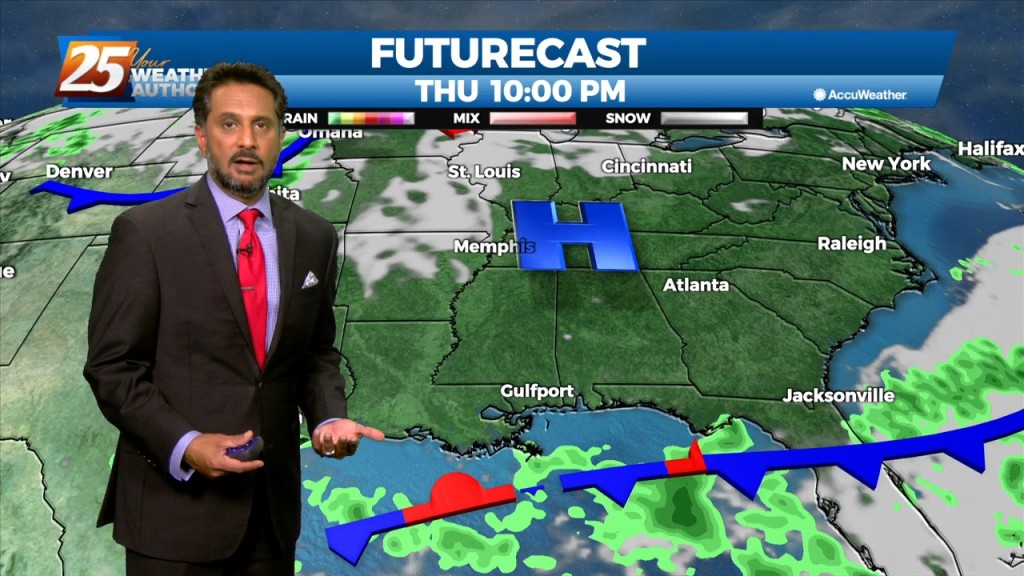
With a surface cold front to the south going stationary, drier air north of the front will continue to keep the area under pleasant conditions…
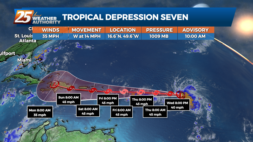
Tropical Depression 7 has formed in the Atlantic Ocean near the Leeward Islands. At 10 a.m., the depression was located about 800 miles east of the Leeward Islands with maximum winds of 35 mph moving 14 mph in a westerly…