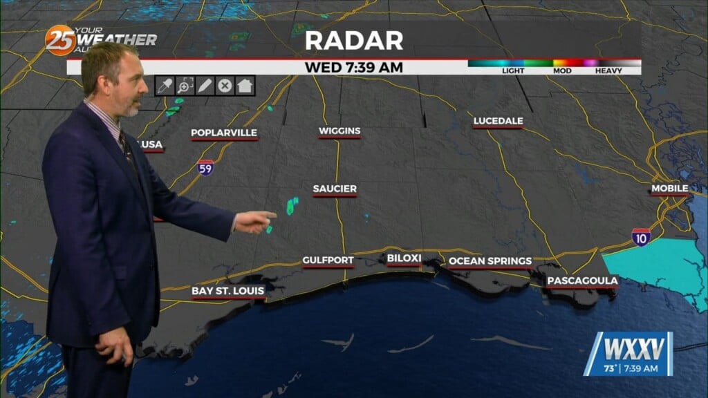
Another round of cold weather will press through the region today & tomorrow
Today: More clouds than sunshine today with an afternoon high temperature near 56º. Wind speed will increase from light to 20 mph
Tonight: Mostly cloudy with low temperatures near 26º. Wind speed will continue into the blustery category of 15-20 mph. Wind chills will drop to around 16º. A Hard Freeze Warning will be in place for the morning hours of Friday.
Friday: Colder afternoon temperatures in the low 40s with a mostly cloudy sky. Wind speeds will still be breezy 5-15 mph and the wind chill will still be a factor to consider if you are outside for any length of time. Low temperatures into Saturday morning will still be chilly near 29º.
Saturday: Some improvements with a mostly sunny sky and still breezy. Temperature highs in the mid 50s with lows near 41º.
Sunday: Better sunshine with temperatures near 60º for the high and 45º for the low. Clouds should be on the increase during the night as another cold front advances toward the coast.
Next Week: Sorry to say, but another seriously cold round of weather is expected for the final week of January. Monday holds a slight chance of rain showers. Hopefully the arrival of the cold air will hold until the showers have finished.


Leave a Reply