Another hot day Wednesday before rain chances increase
Meteorologist Sam Lucey has a look at the forecast for south Mississippi
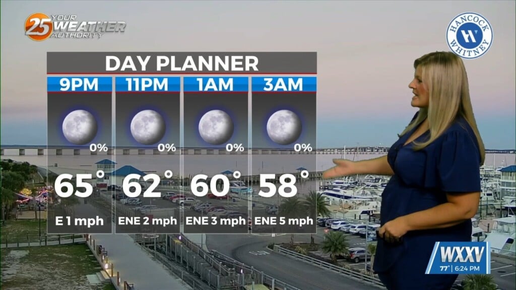
Tuesday night into Wednesday starts off fairly quiet, with mostly clear skies, morning temperatures in the mid 70s, and high near 90. A few showers or storms could pop up late Wednesday morning into early afternoon, but the better rain chance arrives Wednesday night and Thursday.
Rain and thunderstorms become more widespread Thursday, with an 80% chance of rain and temperatures topping out around 89.
The unsettled pattern sticks around through the weekend. Friday and Saturday both bring an 70–80% chance of showers and thunderstorms, with Sunday remaining fairly wet as well. Temperatures stay pretty consistent, generally in the upper 80s to around 90, with overnight lows in the mid-70s.
We’ll keep the umbrella handy into early next week, too. Rain and thunderstorm chances continue Monday and Tuesday, although there should still be plenty of dry time between storms.
As for the tropics, there’s good news for the Gulf Coast right now. The National Hurricane Center says tropical cyclone formation is not expected anywhere in the Atlantic, Caribbean or Gulf of America over the next seven days.
So while we’re heading toward the climatological peak of hurricane season, there’s currently nothing developing.