Rob Martin’s “When’s The Relief?” Tuesday Night Forecast
High pressure continues building off the gulf through Thursday, moving very slowly eastward. This means more in the way of sinking air to counteract any rising air, which will squelch thunderstorm development. But, it also means an established southerly flow with continued humidity and elevated real-feel temperatures. Enough lift might be available Wednesday afternoon for a spotty heavier shower in our eastern zones, but that’s about it.
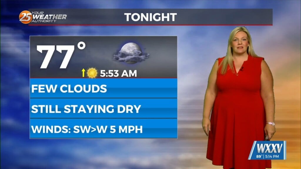
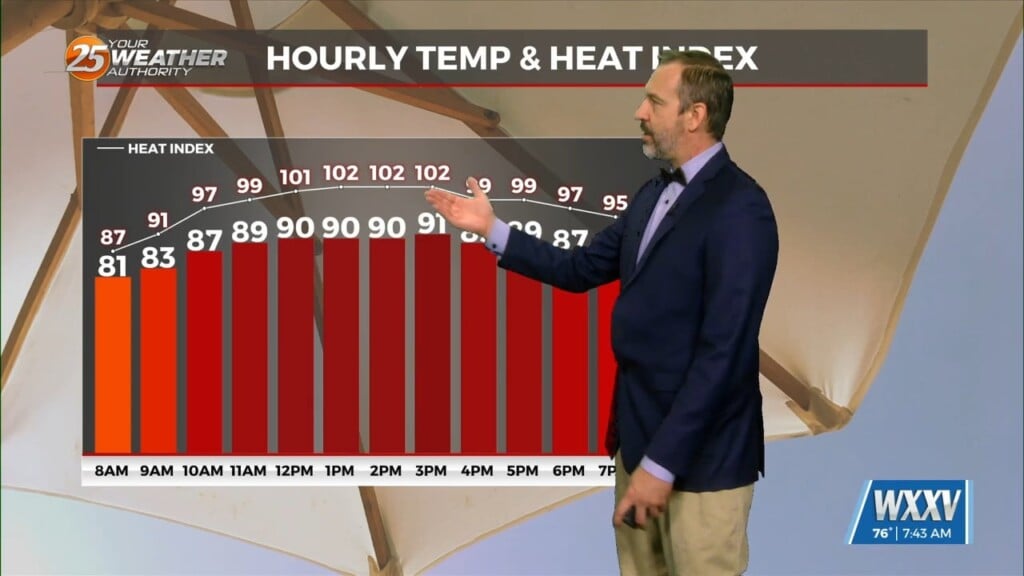
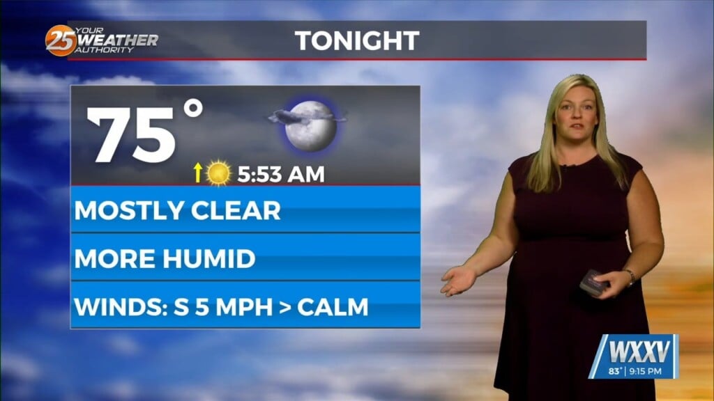
Elevated night temperatures remain as well, bottoming out in the mid 70s through the week. Highs this week are forecast to be in the upper 80s along the beach, to the 90s inland with apparent temperatures approaching 100 degrees in the hottest spots. For Thursday and Friday, conditions will be rain-free based on forecast consensus. Upper level high-pressure will be the dominant feature as southerly surface winds continue the warm and moist air into the region.
An isolated shower is possible in the coastal marine areas Friday night due to an influx of tropical moisture. But overall, a hot and dry couple of days at the end of the workweek with highs forecast in the low 90s. For Saturday and Sunday, a slow-moving front is expected to move in and slow down, enhancing rainfall for the area. Scattered to numerous showers and storms are expected Saturday and Sunday, especially during the daytime and evening hours. Lightning, gusty winds, and hail will be the main threats associated with this system. Locally heavy rainfall will be a concern as well, especially Sunday.
Increased cloud cover and proximity of the front over the weekend will knock these hot temperatures down a bit, and we could actually have some lows in the upper 60s again at that time.