4/11 – Rob Martin’s “Mid-Week Storm/Rain Threat” Updated Monday Night Forecast
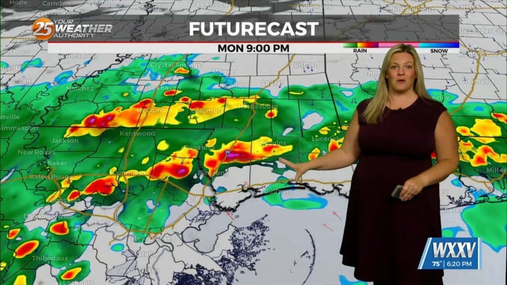
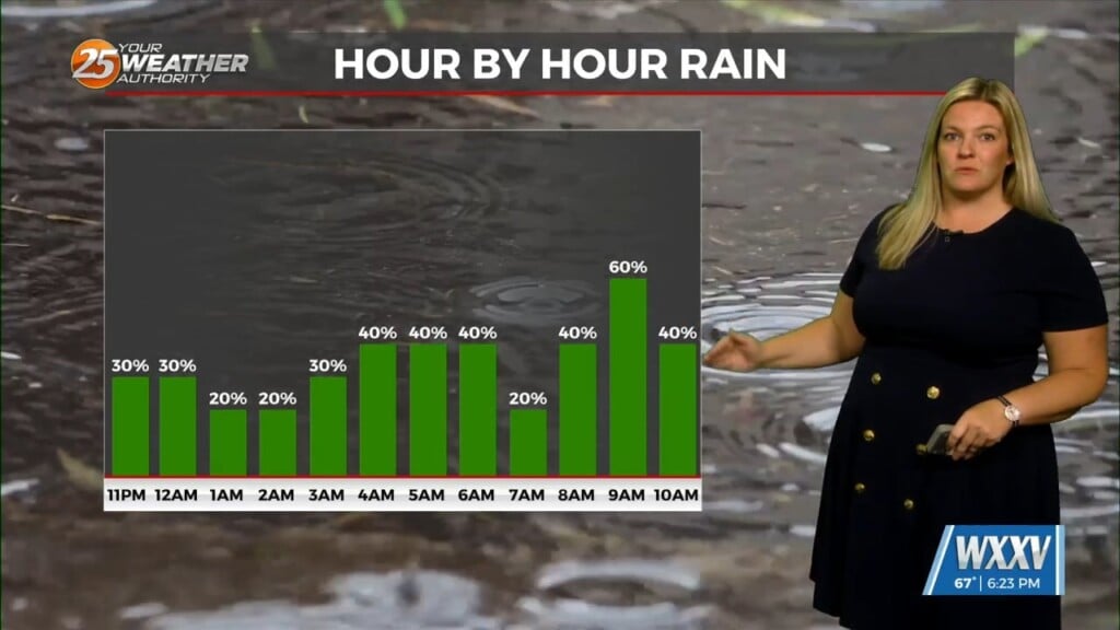
A southerly flow will keep cloud cover, humidity, and spotty showers around Tuesday, mainly late-afternoon and evening. No severe weather is expected during this time, but heavy rain is possible Tuesday night. We’ll continue with the mild, humid nights through most of the week. A slow-moving cold front approached Wednesday with numerous showers, thunderstorms, and potentially heavy rain. We’ll be in a slight risk level (2 of 5) for severe storms Wednesday, with the biggest concern being gusty winds, some hail, and lingering heavy rain as the front crawls through. The higher severe risk level looks to be to our northwest.
We’ll have perhaps a brief break Thursday as it remains warm. The front is forecast to stall just to our south later and weaken, but it could bring showers back into the area Friday through the weekend as it drifts close the coast.
Multiple weak disturbances will move across the area with each capable of developing scattered showers and thunderstorms Friday into the weekend. Luckily there is nothing rather potent at this time suggesting the possibility of heavy rain or severe weather Thursday through the weekend.


