03/23 Ryan’s “Windy” Thursday Forecast
A slightly cooling/drying breeze developed last night as a front pushed into the area, and the windy conditions continued this afternoon. Expect them to carry over into the evening, but will begin to take a more southerly turn, bringing in the warm & moist air that will help fuel this weekend’s storms. It will remain windy until the cold front strengthening in the West moves across the area. There is still some contradictions in timing between the different models, but right now it looks like the strongest of the storms will be arriving just before sunrise on Saturday though it could be to closer to noon. The 3 day convective outlook from the Storm Prediction center has us under a “slight” (level 2 of 5) severe threat, though the strength of the storms seems to be trending downward. Rob and I will continue to monitor this system’s development and will remain in studio if the threat remains significant.
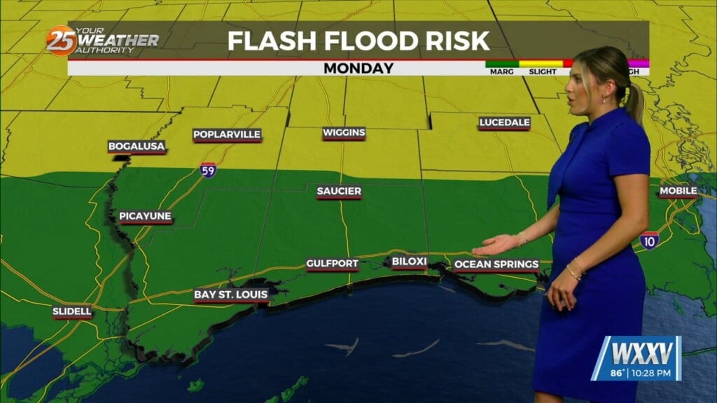
The long term forecast calls for much more activity, which is typical for Springtime in South MS. Over the next week or so, we’ll see new systems moving through every other day, meaning we’ll see increasing opportunities for severe weather, ushering in our first severe weather “season.” After Saturday, the next opportunity for active weather will be Monday, when afternoon heating and mid-level energy will likely produce a few showers & thunderstorms. Drier conditions will move in for Tuesday & Wednesday, but won’t last long.
Be sure to check back later tonight for any updates to the forecast, and/or watch us tonight for our hour-long show at 9 PM on FOX or at 10 PM on NBC.


Leave a Reply