More humidity creeps back in by the end of the week
Meteorologist Sam Lucey has a look at the forecast for south Mississippi
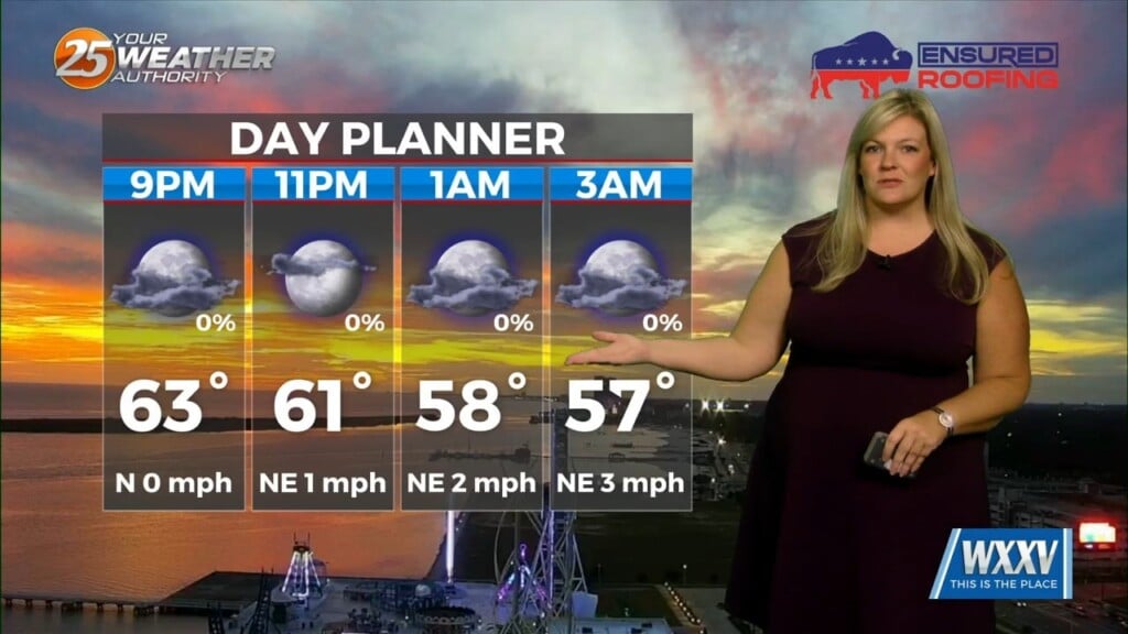
Tonight will be partly cloudy, with temperatures dropping into the low and mid 50s and light winds becoming calm by Wednesday morning.
Wednesday and Thursday will bring plenty of sunshine, with afternoon highs in the upper 70s and overnight lows in the mid and upper 50s. Winds will remain light through much of Thursday, keeping conditions comfortable across the region.
Clouds will begin increasing Friday as winds turn more east-southeasterly, with highs near 80.
Overnight temperatures will also trend warmer, settling into the mid 60s as moisture and higher humidity gradually increases across South Mississippi. Dew points will climb to the upper 60s heading into the weekend, helping set the stage for a return of showers and thunderstorms.
Saturday brings a 30% chance of showers and thunderstorms, with mostly cloudy skies and highs near 80 degrees. Rain chances will stick with us Saturday night although showers may be more scattered as skies become partly sunny on Sunday. Temperatures will remain warm, with highs in the lower 80s and overnight lows in the mid 60s.