Expect a quiet Monday night with more storms possible Tuesday
Meteorologist Sam Lucey has a look at the week ahead
Our weather pattern remains fairly typical for early June, with warm temperatures, high humidity, and daily opportunities for scattered showers and thunderstorms.
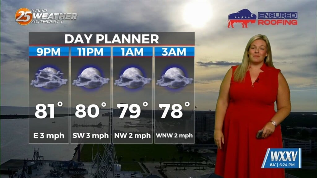
Tonight, only an isolated storm is possible before skies remain mostly cloudy overnight. Temperatures will stay warm, falling to around 75 degrees.
Tuesday brings another hot and humid day with highs near 90. Most locations will stay dry through the morning before scattered showers and thunderstorms develop during the afternoon and evening. Rain chances increase Tuesday night, with storms becoming more numerous before midnight.
The wettest part of the forecast arrives on Wednesday as a weak boundary moves through the region. Scattered showers and thunderstorms will remain possible throughout the day, helping keep temperatures cooler with highs only reaching the lower 80s.
By Thursday and Friday, rain chances decrease somewhat, although a few afternoon storms will still be possible. Breezy easterly winds will develop late week, with gusts up to 25 mph at times.
Looking ahead to the weekend, the typical summertime pattern continues. Expect a mix of sun and clouds with scattered showers and thunderstorms possible each afternoon. High temperatures will generally remain in the mid to upper 80s with warm, muggy nights in the 70s.
As hurricane season gets underway, continue monitoring forecasts and make sure you’re prepared, but for now, things are quiet, and our focus can remain on daily summertime storms across the Gulf Coast.