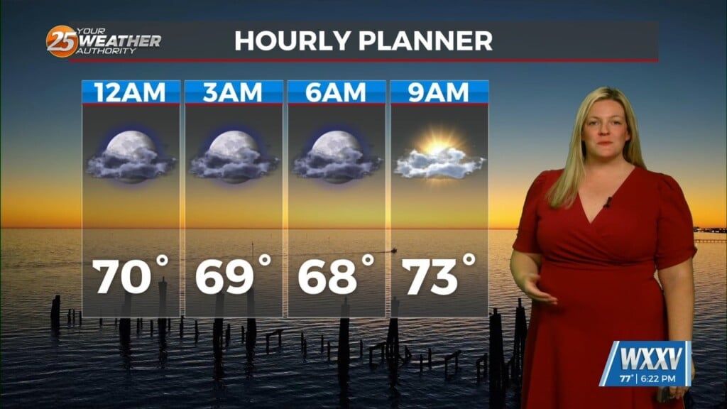
05/27 – Brantly’s “Sunny, Warm, and Mostly Dry” Thursday Forecast
High pressure remains in control at the surface along the north central Gulf Coast. This morning, temperatures are generally ranging from mid 60s in the normally cooler locations, to the mid 70s in areas with marine influences. Not much spread in guidance temperatures through Friday, although we did overachieve compared to guidance on Wednesday.
Saturday will be totally dependent on whether or not the boundary arrives in the area. If it moves through, highs in the upper 70s to lower 80s. If it remains north, mid and upper 80s. Computer models continue to be in generally good agreement that a weak front will continue to slide into the Gulf by Saturday night with drier air briefly settling in behind it. This should allow overnight lows to cool a few degrees below normal Saturday night and Sunday nights. Afternoon temperatures will remain warm but should feel pleasantly dry for late May.
High pressure shifts eastward by late Monday with winds becoming easterly and then southeasterly Monday night. This will usher more moisture back into the area ahead of another approaching frontal system. Expect to see a gradual increase in afternoon rain chances through mid-week, though the highest rain chances will likely be just beyond the current forecast period as an upper level trough swings through the local area.


Leave a Reply