12/17 – Sam Parker’s “Hard To See” Tuesday Night Forecast
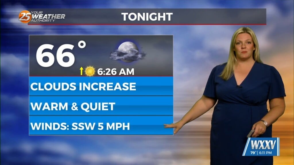
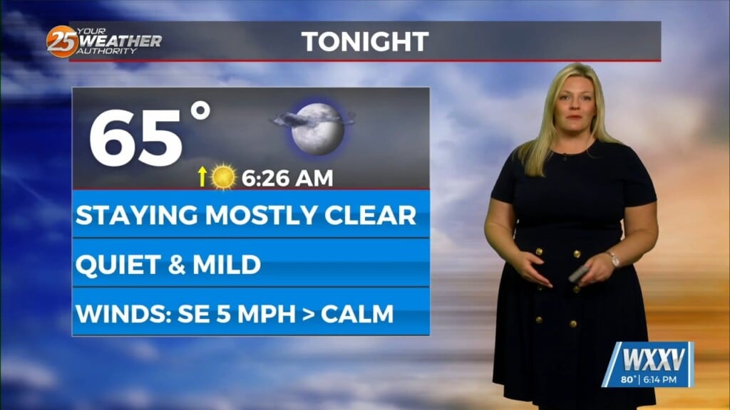
As the forecast isn’t hard to see tomorrow morning will be as another morning of fog to roll in. NWS has issued a dense fog advisory from midnight until 10 am Wednesday morning. Wednesday will be another warm day with highs in the mid 70s. A low chance for rain as a cold front will push through Wednesday afternoon. We wont feel the effects of the cold front until late Wednesday evening and Thursday. We will see a stretch of cooler weather at the end of the week. The coldest weather will be this weekend and next week as we get closer to Christmas temperatures will warm up.


