9/25 – Sam Parker’s “Cold Front Coming” Wednesday Noon Forecast
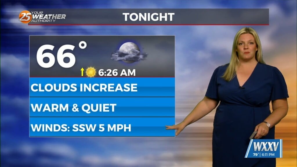
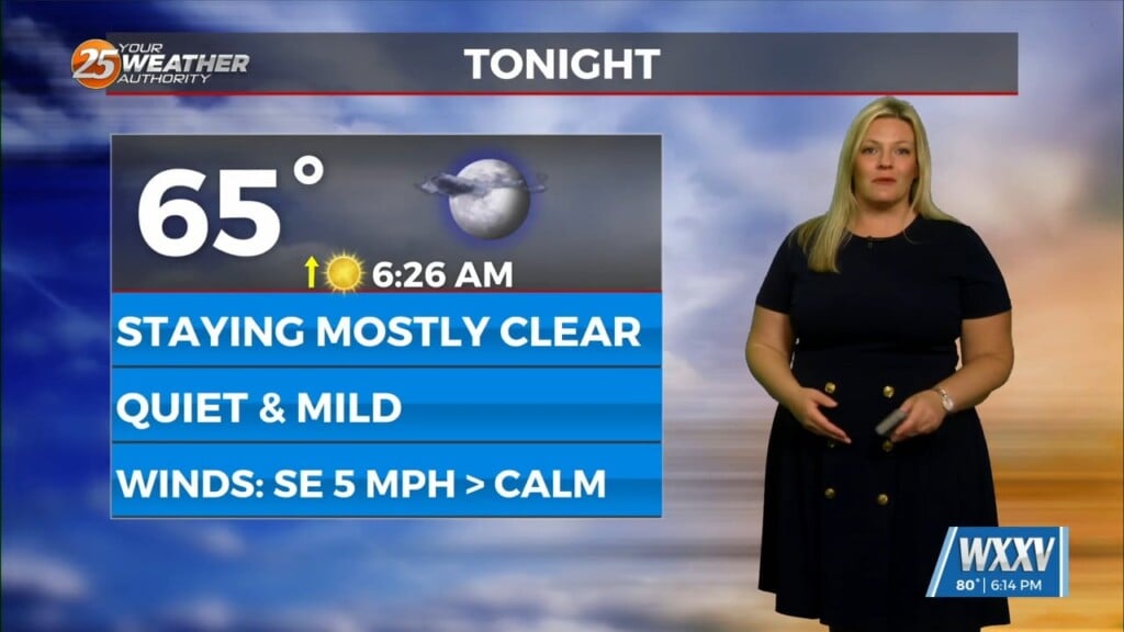
Still watching the cold front to our north which hasn`t moved very much over the last day or so. Eventually, the broader scale upper trough will strengthen further and bring the cold front through. There could be an isolated strong to severe storm with a chance of hail. Dry and a very slightly cooler air will begin to filter into the region by Thursday. Small chance for storms Thursday for our MS Gulf Coast Counties. Temperatures both overnight and during the daylight hours will be a few degrees below average on Thursday. Until the front slides through today temperatures will continue to remain on the warmer/humid side.


