9/20 – Trey Tonnessen’s “Terminator” Friday Night Forecast
Meteorologist Trey Tonnessen
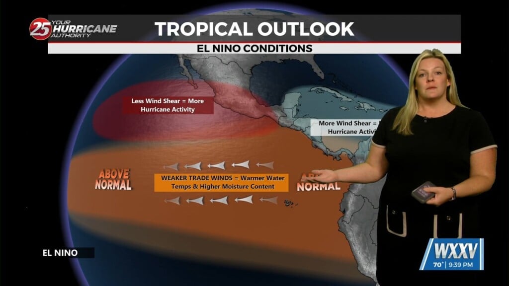
The National Hurricane Center has released the most recent tropical update concerning the Caribbean and Gulf of Mexico. Surface area highlighted within the orange color for potential development over the next 7 days remains similar in terms of shape, tonight the change again comes with the development potential. NHC has increased from 50% to 60% development potential over the next 7 days.
As Ryan has stated recently, we still must wait for a low pressure center to develop before Gulf Coast Meteorologist can begin to put our own local spin on the tropical forecasts. Several high profile models have been showing B-Lines directly towards south Mississippi / Mobile, HOWEVER, these models may shift depending on where that low pressure center develops. Regardless of what develops tropically this weekend, consider this a reminder to update hurricane plans for yourself, friends, and family, as though we may be on the backside of hurricane season… there is still a decent amount of time left.
Other than the tropics, the next several days appear to be mostly clear of clouds and dry. Enjoy a major treat from mother nature right here on the Mississippi Gulf Coast and raise a toast as fall officially begins at 7:43 AM Sunday.
Have a tremendous weekend and Happy Fall!
– Meteorologist Trey Tonnessen –


