8/9 – Trey Tonnessen’s “Silent Mover” Friday Night Forecast
Meteorologist Trey Tonnessen
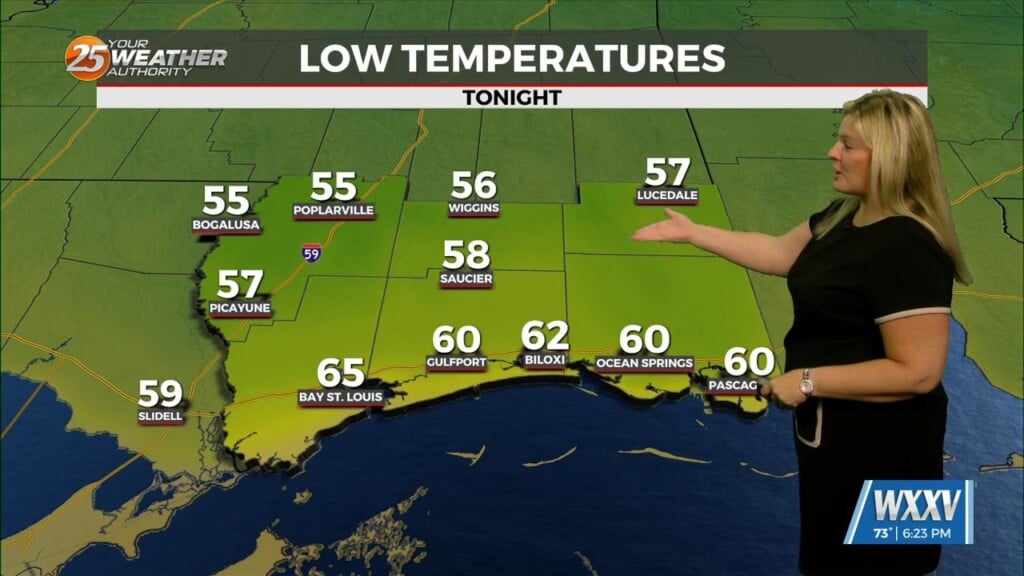
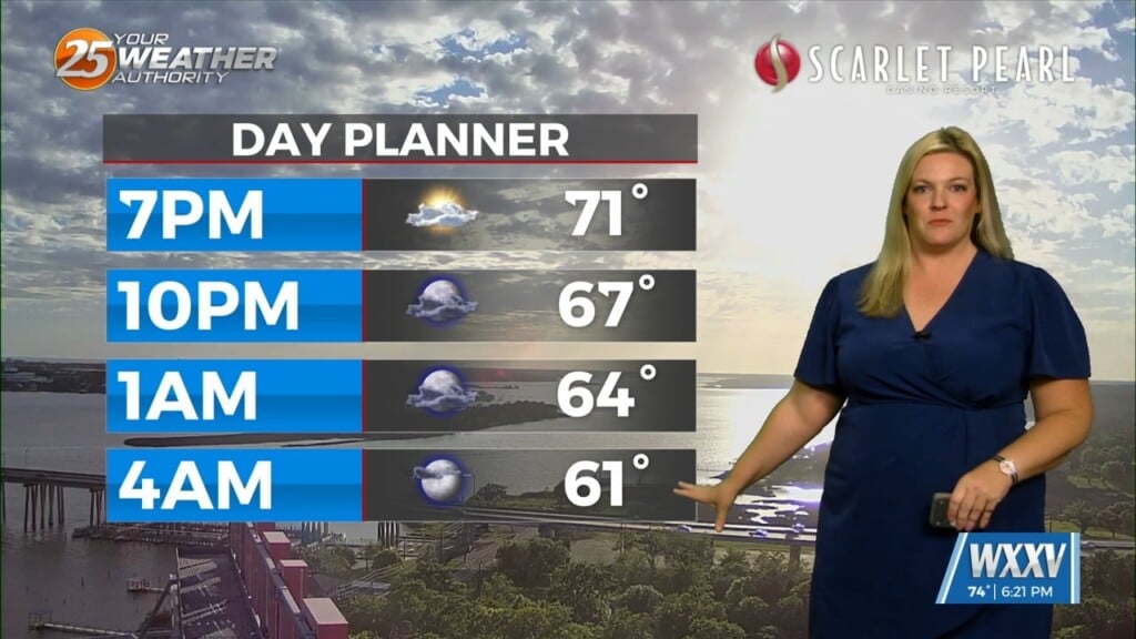
A very dry and stable deep layer ridge axis will continue to remain just west of the area through Sunday night, and this will keep any rain chances at bay as light northerly flow and dry air advection persists. At most, an isolated shower or storm may develop along the immediate coast of Louisiana as a weak sea- breeze component forms each afternoon. Otherwise, strong deep layer subsidence will keep the mid- levels warm and dry and a very strong mid- level temperature inversion will remain in place. This mid- level dry air will push precipitable water values down to between 1.5 to 1.75 inches across the region. These values are around the 25th for early to mid- August. Given the dry airmass in place, a larger than average diurnal range of temperatures is expected.


