7/4 – Trey Tonnessen’s “Old Glory” July 4th Forecast
Meteorologist Trey Tonnessen
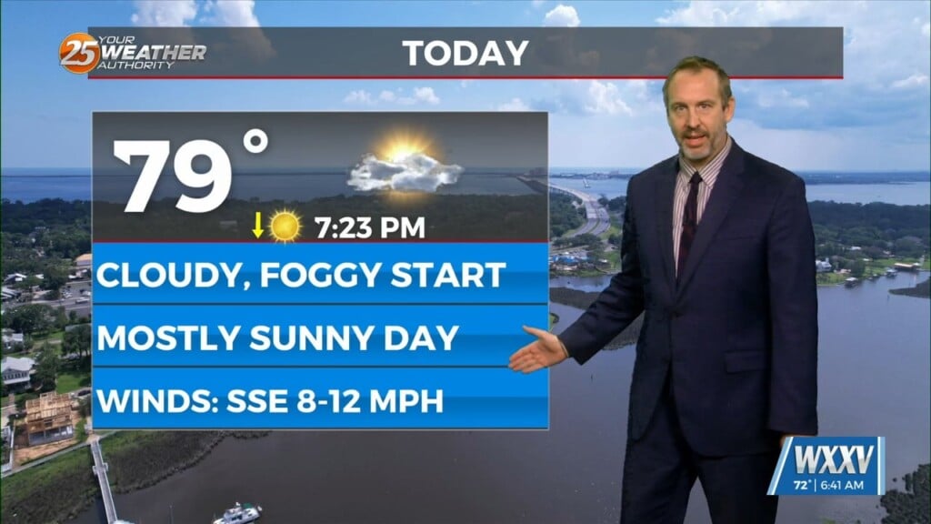
Today we are already seeing isolated to widely scattered convection and these storms appear to be in the middle of the deeper moist airmass, in the instability ridge and lined up with weak Low Level convergence from Vermillion Bay to Hattiesburg. Convection will likely begin to taper off over the interior areas just before sunrise with most of the inland areas dry through much of the morning. The deeper moisture and Low Level convergence will slide very slowly to the northwest and could spark convection


