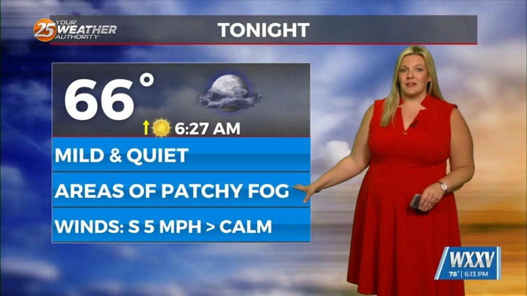
5/27 – Trey Tonnessen’s “Will Sweat” Monday Night Forecast
Meteorologist Trey Tonnessen
Tuesday, shortwave trough will help to drive the parent upper trough farther south across the southeastern US on Tuesday. This will bring the associated frontal boundary closer to the CWA. Even though 500mb heights locally will be lowering as the ridge that`s kept the area to hot lately suppresses, compressional warming will keep highs in the mid 90s just one more day. Much like today, the potential continues for late afternoon convection with more than ample instability aloft. Very conditional threat with CAP aloft. After than, finally start cooling things down on Wednesday with near normal temps for the first time in what seems like awhile.


