5/19 – Trey Tonnessen’s “Calmer Pattern” Sunday Night Forecast
Meteorologist Trey Tonnessen
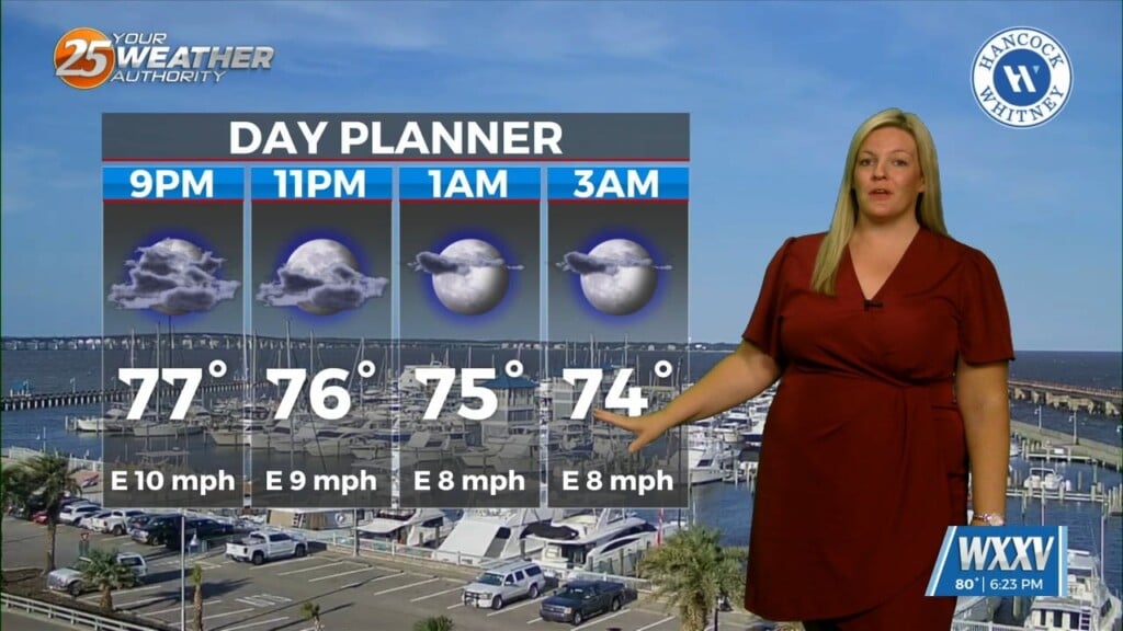
A quiet pattern has evolved for our local area. Aloft, a dry northwesterly flow around the eastern periphery of a high over Mexico, will remain across our region through the short term period. At the surface a high pressure will continue to rule the overall surface pattern with light and variable winds. Skies should remain on the clear side. This could again generate some shallow radiation fog tonight with calm winds and clear skies. This should lift pretty rapidly after sunrise. The main story here will be temperatures. As high pressure begins to move east a weak onshore flow will initiate allowing temperatures to be slightly cooler right along the immediate coast…at least cooler than today with a weak northerly flow over our region limiting impacts from the cooler shelf waters.
As always: A cloudy day is no match for a sunny disposition. Be nice to each other.
-Meteorologist Trey Tonnessen