4/23 – Trey Tonnessen’s “Picture Perfect” Tuesday Evening Forecast
Meteorologist Trey Tonnessen
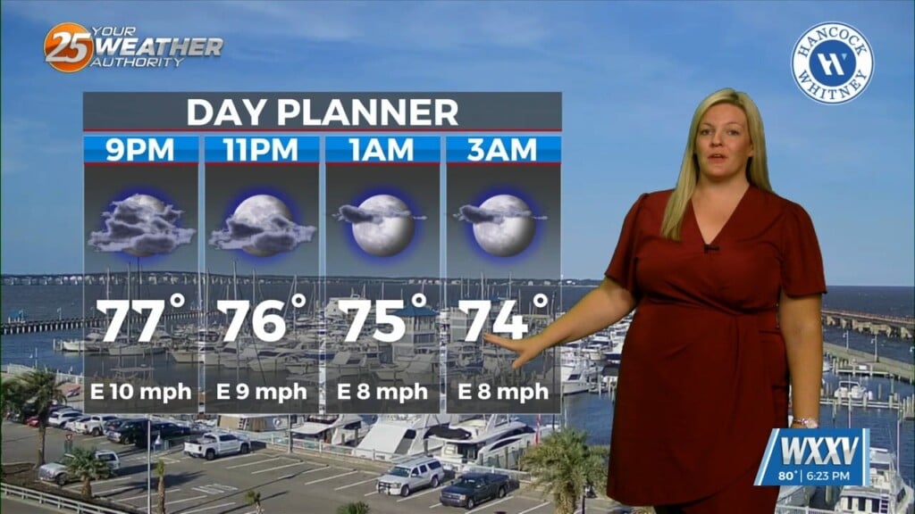
Under sunny skies and a zonal/progressive upper flow regime, temperatures have warmed across the region. With the surface flow veering to a more onshore flow with the surface high departing stage east, some better low level moisture has started to creep northward back into the area. This will limit critical fire weather concerns this afternoon. Overnight, the upper level flow will transition to a dry northwesterly flow and a surface front will make an attempt to near the region. Although low level moisture influx has been weak, there is still a weak signal for lower visibility, especially across southwest Mississippi, where some shallow fog isn`t out of the realm of possibility, especially if some moisture pool develops ahead of a stalling front just upstream over central MS/AL.
As always: A cloudy day is no match for a sunny disposition. Be nice to each other.