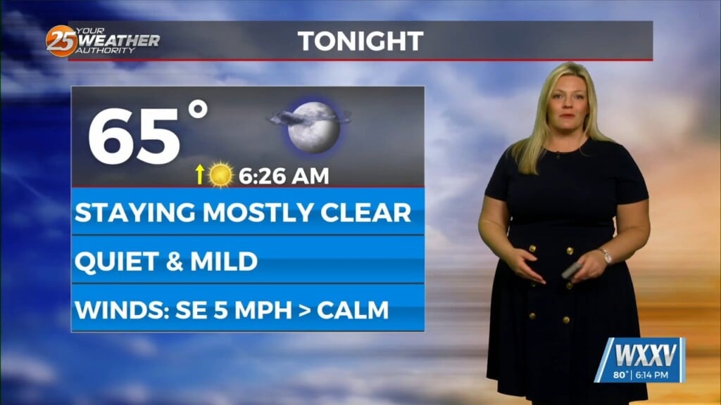
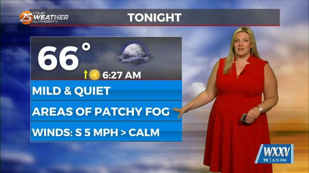
4/22 – Trey Tonnessen’s “Cool April Night” Monday Night Forecast
Meteorologist Trey Tonnessen
The long range forecast starts out rather quiet with a relatively light northwest flow aloft taking shape on the eastern periphery of an upper ridge. A cold front will move southward across the Mid South and Tennessee River Valley. This front will stall as it becomes parallel to the mean flow. Without much convective cold pooling to force it southward (and likely held up by the ridge amplifying just a bit upstream). Regardless, the position of the front and a gradual uptick in boundary layer moisture (moisture pooling across the south) and calm overnight/early morning conditions may lead to fog potential each morning from Wednesday, Thursday, and maybe even Friday before the low level flow increases ahead of a front moving into the central Plains Friday.


