4/21 – Trey Tonnessen’s “Post Frontal High” Sunday Night Forecast
Meteorologist Trey Tonnessen
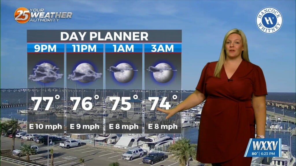
The axis of the shortwave trough that finally pushed Saturday’s cold front through the area, is just west of the Mississippi River and will be reaching the Appalachian Mountains by sunrise Monday. The rain is done and mostly sunny skies expected for all land areas before sunset. Post frontal high pressure will usher in cooler and drier air through Monday. Cold air advection combined with dropping dewpoints will allow for lows tonight around 20 degrees colder than a few days ago. Our highs, however, should actually be slightly warmer than today. That is a combination of the very progressive nature of the upper trough and surface ridge; as well as the fact that it is late April. That yields much more insulation compared to a couple months ago.
As always: A cloudy day is no match for a sunny disposition. Be nice to each other.
-Meteorologist Trey Tonnessen