3/26 – The Chief’s “Slow Clearing” Tuesday Afternoon Forecast
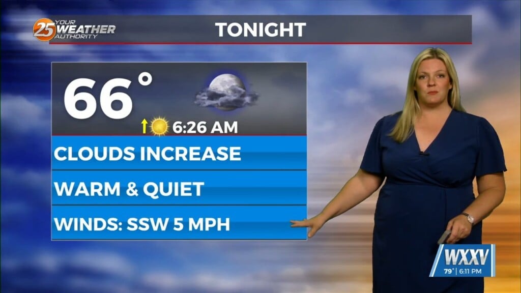
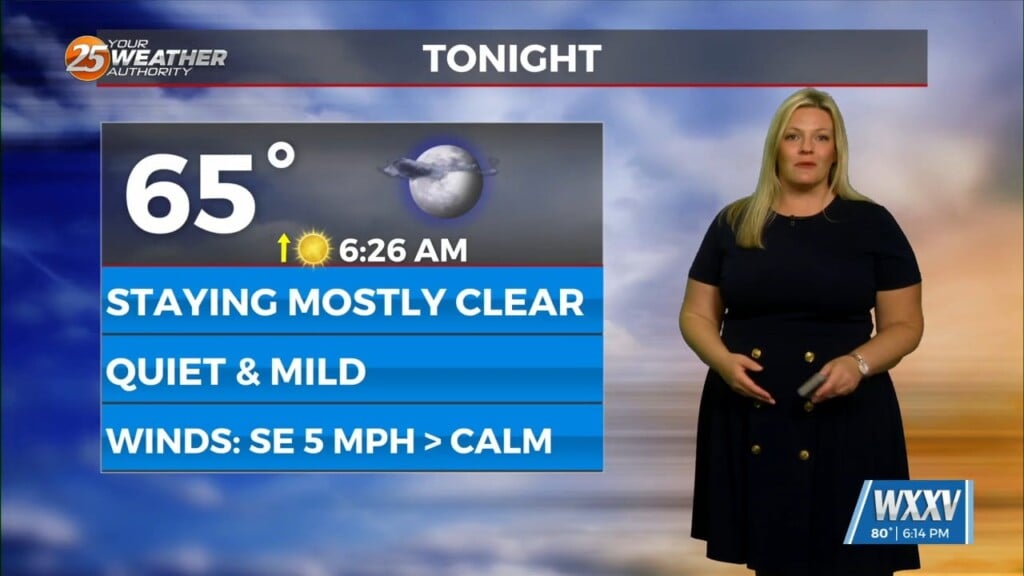
We’ll likely see a period of sunny skies this afternoon and mostly clear skies overnight. However, the upper level support to this feature to the NW won’t move east of the area until Wednesday night or Thursday. There is likely to be a good bit of mid and high cloud cover on Wednesday, which may retard heating a bit.
We l should see enough sunshine the next couple days to allow high temperatures to reach into the upper 60s to mid-70s. As is usually the case with northerly winds, the warmest daytime highs may actually be on the Mississippi coast. Overnight lows likely to be cooler than normal, but won’t head toward the coolest guidance due to some questions as to cloud cover and wind speed.
The upper feature will pass to the east of the area on Thursday with upper high pressure building into the area through the weekend and probably Monday. Little or no precipitation expected through the Easter weekend.


