2/29 – The Chief’s “Cloudy & Often Windy” Thursday Morning Forecast
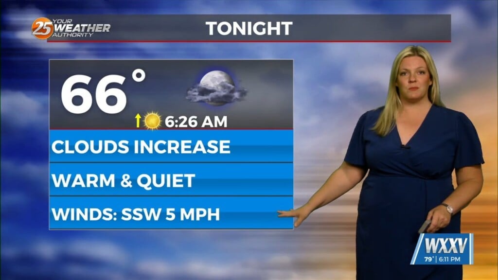
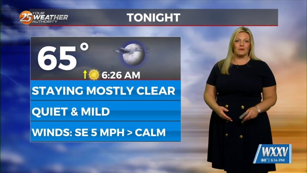
A dry airmass continues to reside across the region this morning with a fairly active WSW flow aloft with moisture continuing to stream into the region. This will continue to lead to mostly cloudy conditions across the region today. A cold air advection regime will continue today. With the cold air advection and limited insolation, temperatures will be held down today.
Going into tonight and Friday an upper level disturbance will eject eastward over the central Plains and spread northeast. At the surface, the frontal boundary and a rather sharp surface Low pressure system will reside across the northern and northwestern Gulf of Mexico. Isentropic lift along the front will begin to move back northward closer to our area. Low level moisture will rush back into the region late tonight and on Friday. In response to the increase in low level moisture along with mid/upper level impulses and favorable jet dynamics over the region, showers and perhaps a few thunderstorms will be possible across the area. Showers and t-storms will continue through Friday with the potential for 2-4” accumulation through the weekend into next week..
Outside of a few residual showers or storms along the MS Gulf Coast, the upper dynamics should be exiting stage east. The front will remain in rather close proximity, which will help keep cloud cover in place. Saturday will bring a slight uptick in temperatures and daytime highs. But largely much of Saturday appears to be mostly dry. Eyes shift upstream as another impulse develops and a weak jet develops again Sunday into early week next week.


